
Maps & Navigation
African Countries Maps
This collection features 49 SVG icons depicting maps of various African countries. Designed with a clear, outline style, each icon accurately represents the geographic shape of nations like Algeria, Botswana, and Ghana. These scalable vector graphics are ideal for UI/UX design, web mapping applications, educational materials, and digital projects focused on travel, international relations, or regional data visualization. They are particularly useful for tourism platforms, non-profit organizations, and academic resources requiring precise geographical representations.
Icons in this Collection
Browse and download all 49 vector icons
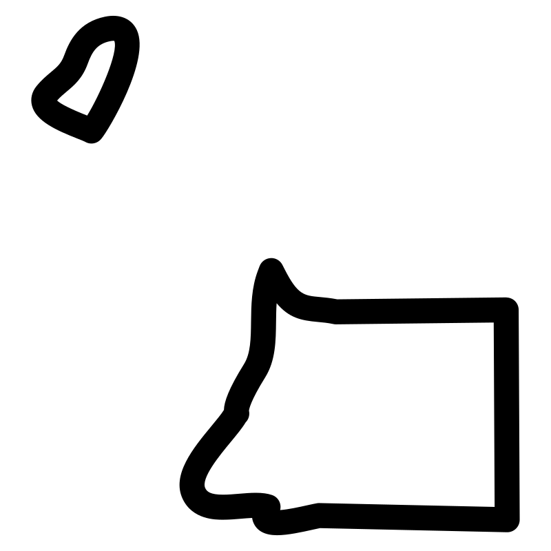
Africa
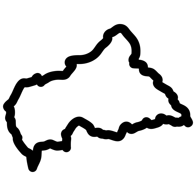
Africa map
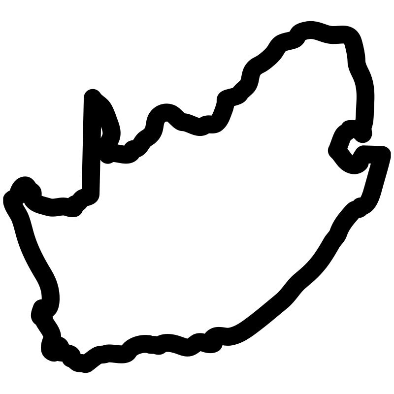
African map
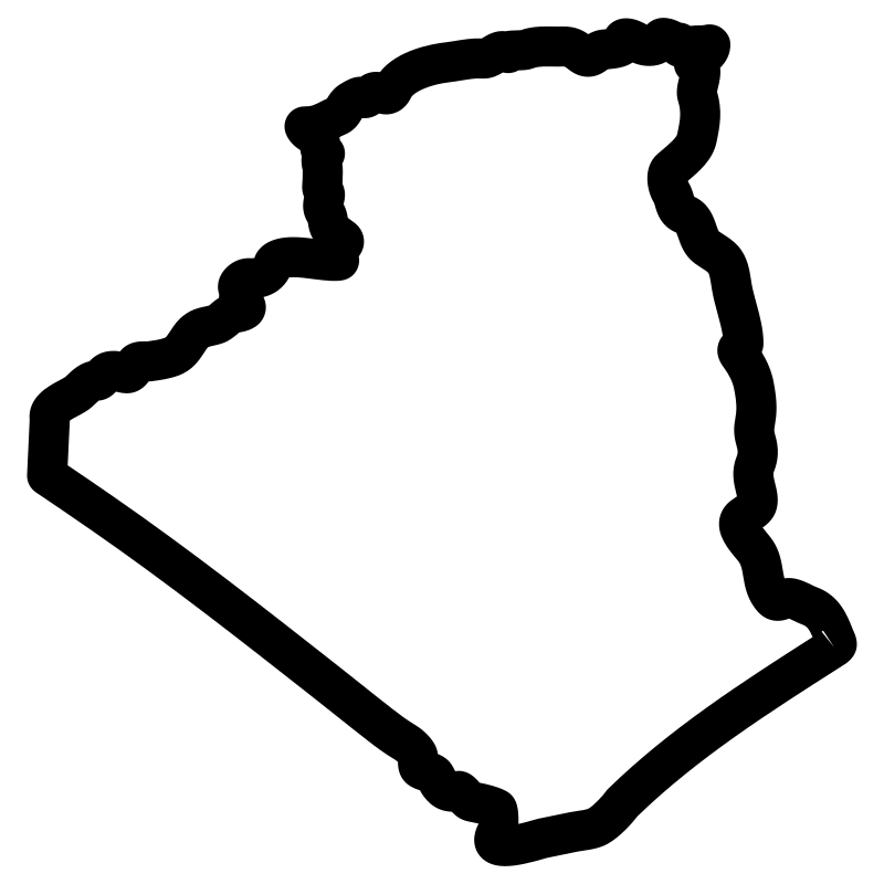
Algeria Maps
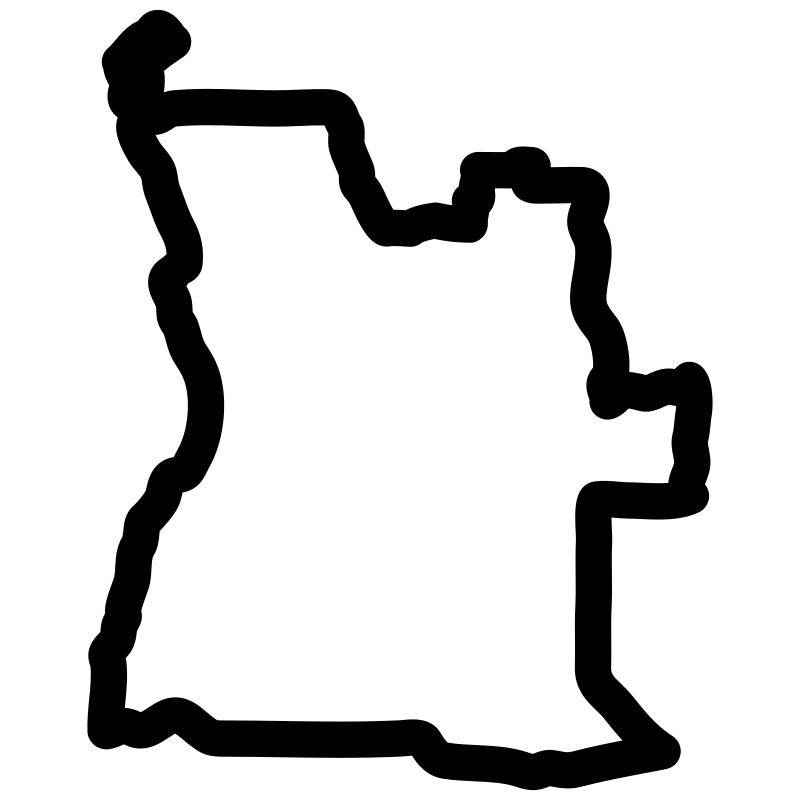
Angolan Map
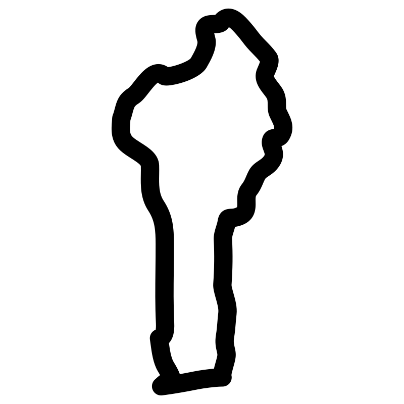
benin map pdf
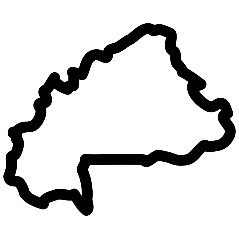
Burkina Faso country map
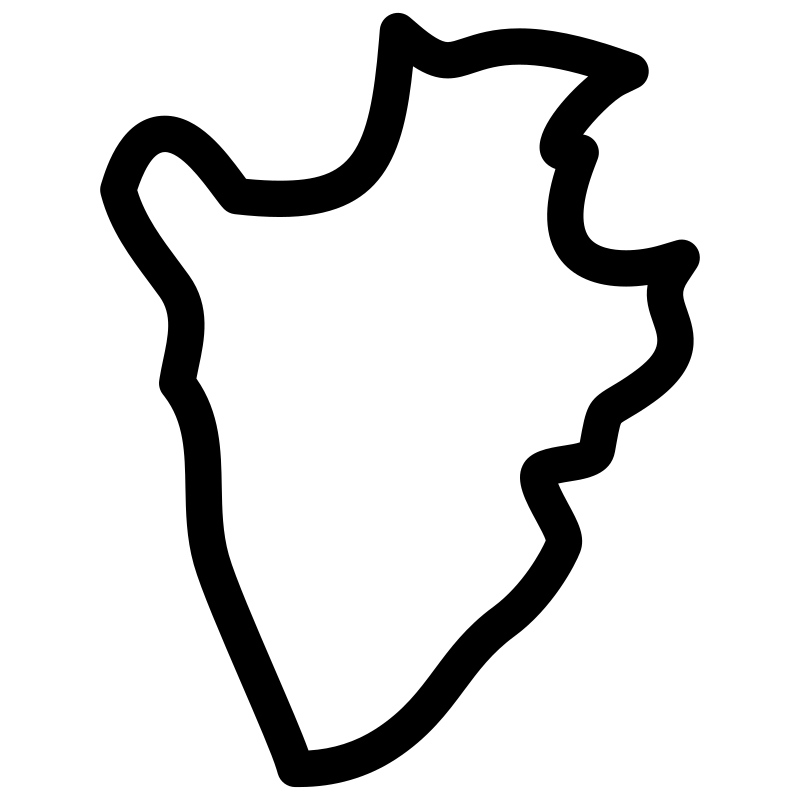
Burundi map
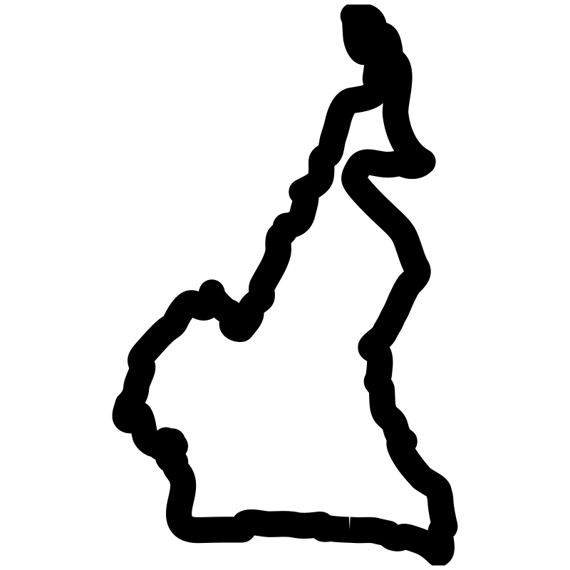
Cameroon city map
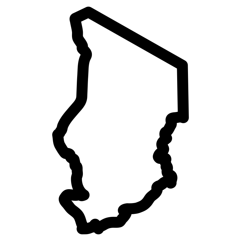
Chad
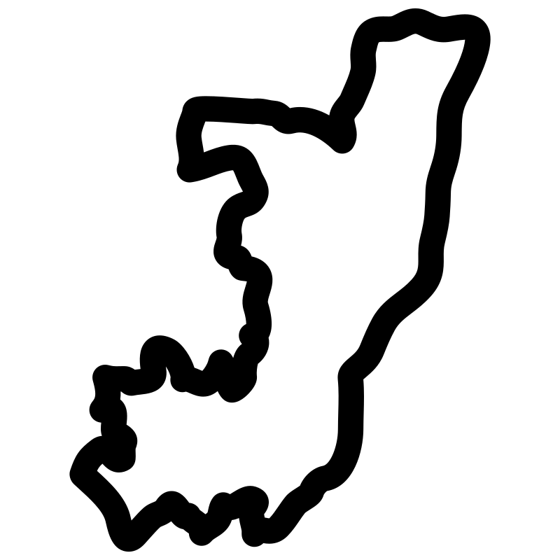
Congo map pdf

Djibouti topographic map
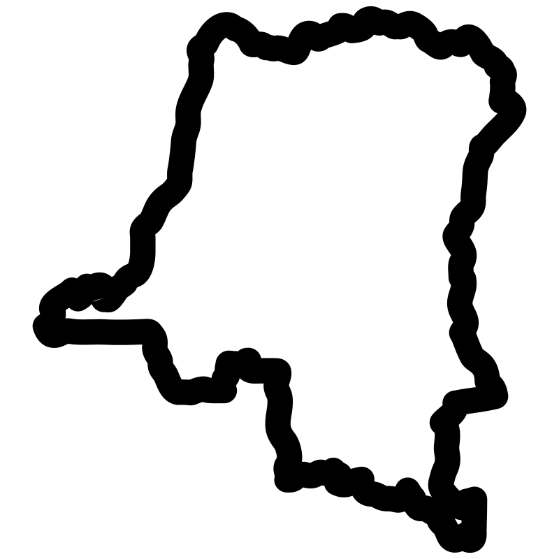
DRC
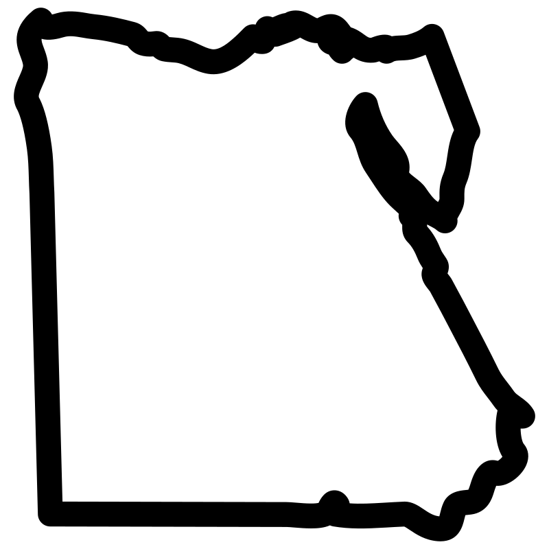
Egyptian map
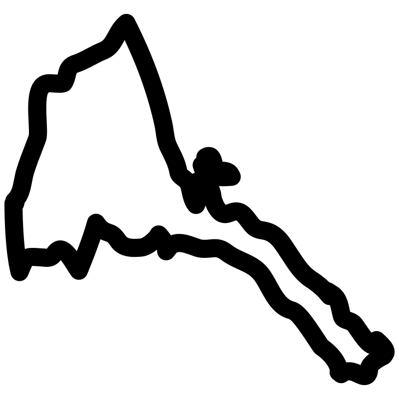
Eritrea map
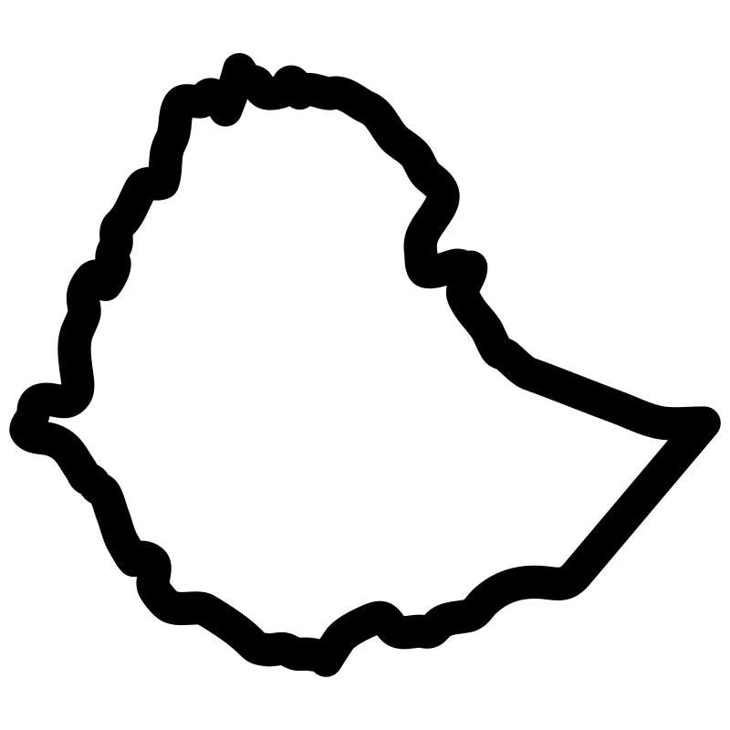
Ethiopia travel map
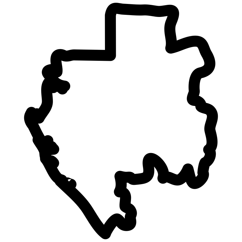
Gabonese map
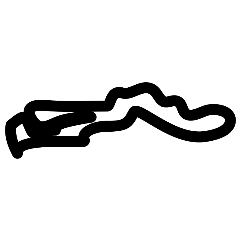
Gambia map pdf
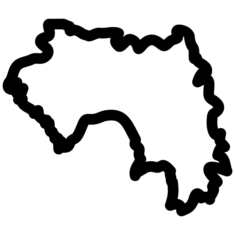
Guinea map pdf
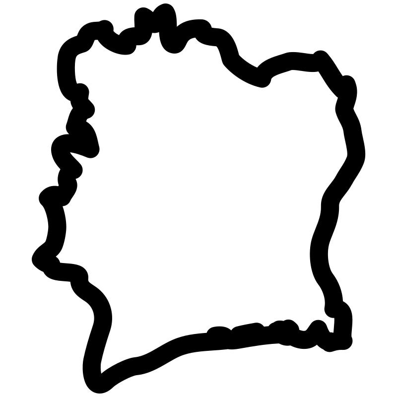
Ivory Coast Countries Map
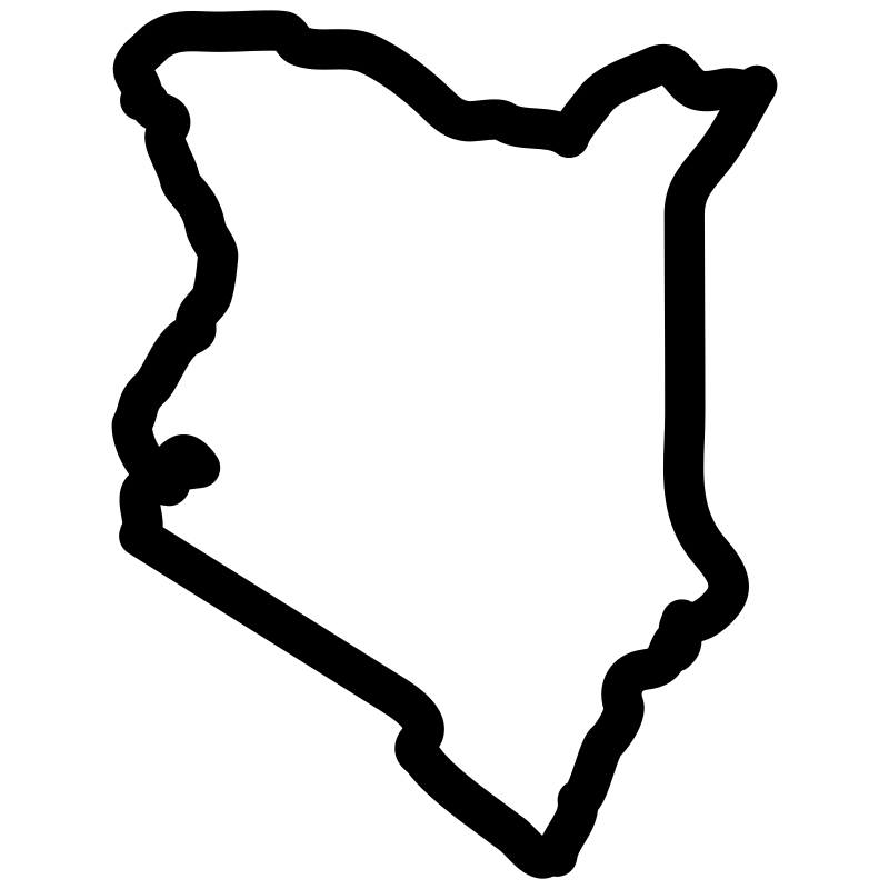
Kenya Travel
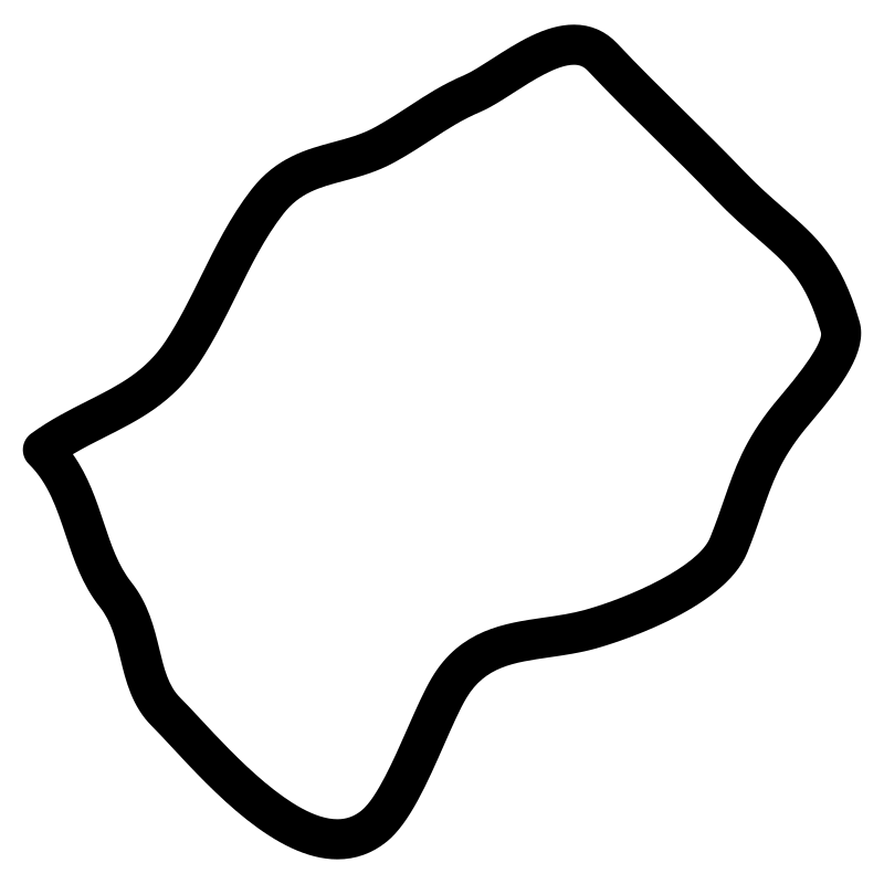
Lesotho map print
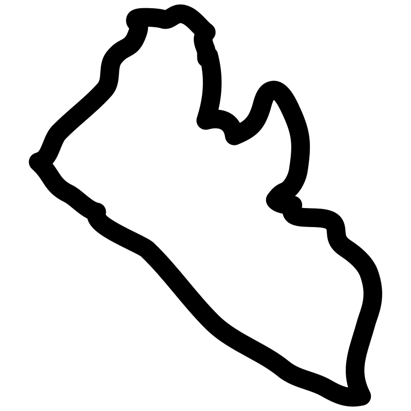
Liberia map pdf
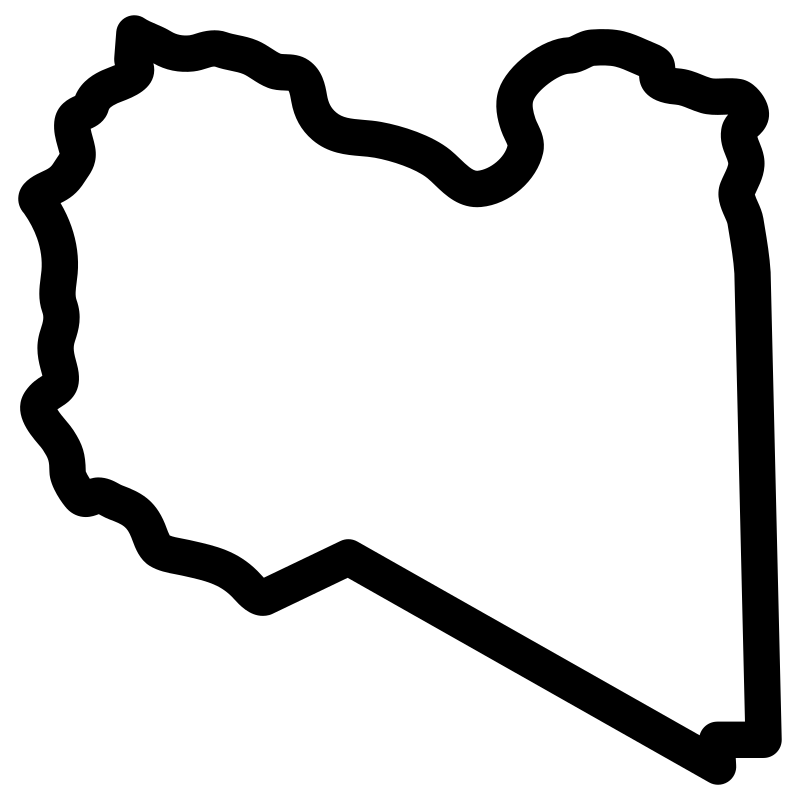
Libya Map
More Maps & Navigation Collections
North America49 icons




Location Filled A Collection Of Maps Icons for Web & UI Design48 icons



Mapping Art Projects48 icons



Set Of Map And Travel Line Vector I47 icons




🌎 Travel Glyph46 icons




Geographic Pins46 icons




Location And Navigation Without Front45 icons



Maps And Locations Contemporary Style45 icons




Essential Travel Icons Iconography For Icons for Maps & Navigation44 icons




Variations On A Theme Navigation Icons44 icons


Map Outlines Countries, Cities, And Area44 icons



Set Of Navigation Icons In Vector Format44 icons
Artist:Mohamed Mb
License:CREATIVECOMMONS