
Maps & Navigation
Best States Maps
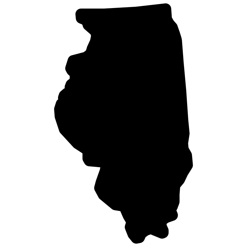
This collection features 51 detailed SVG icons representing individual U.S. states and the District of Columbia. Each icon showcases a clear, outline-style map of a state, often incorporating a subtle, recognizable element related to its geography or culture. These vector graphics are ideal for web design, educational materials, travel applications, and dashboards requiring specific state-level visual representation. They serve as excellent assets for projects in tourism, demographics, logistics, or regional business analysis.
Icons in this Collection
Browse and download all 51 vector icons


More Maps & Navigation Collections


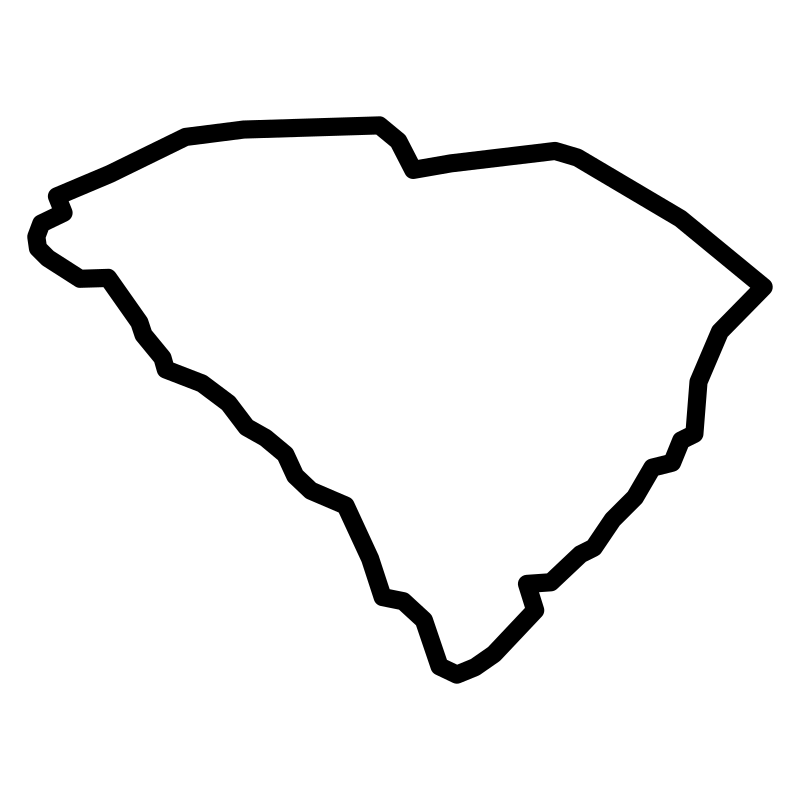
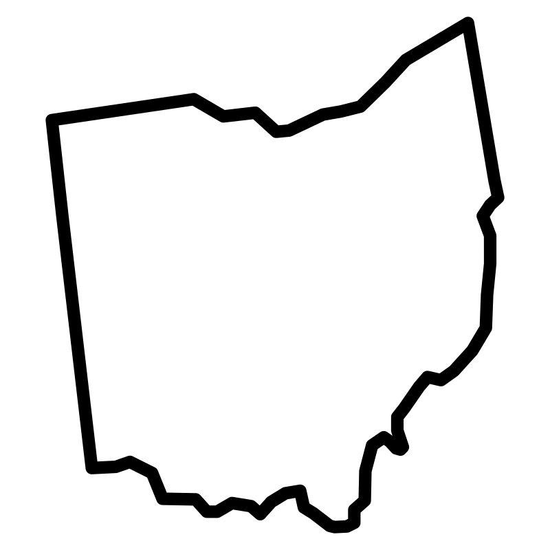
Thin Maps Of The United States51 icons




Map Office Documents A Collection Of Maps And51 icons




Vector Collection Name Maps And Locations50 icons




Gps Glyph50 icons




Gps And Navigation 4 Professional50 icons




Maps Of The United States50 icons




Maps Of Us Squares50 icons




Gps And Navigation 1 S4 Light50 icons




Gps Navigation And S5 Light50 icons




Gps Navigation50 icons




Gps And Navigation Outline50 icons




Gps And Navigation 1 S7 Light50 icons
Artist:Mohamed Mb
License:CREATIVECOMMONS