
Maps & Navigation
Usa States Map Svg
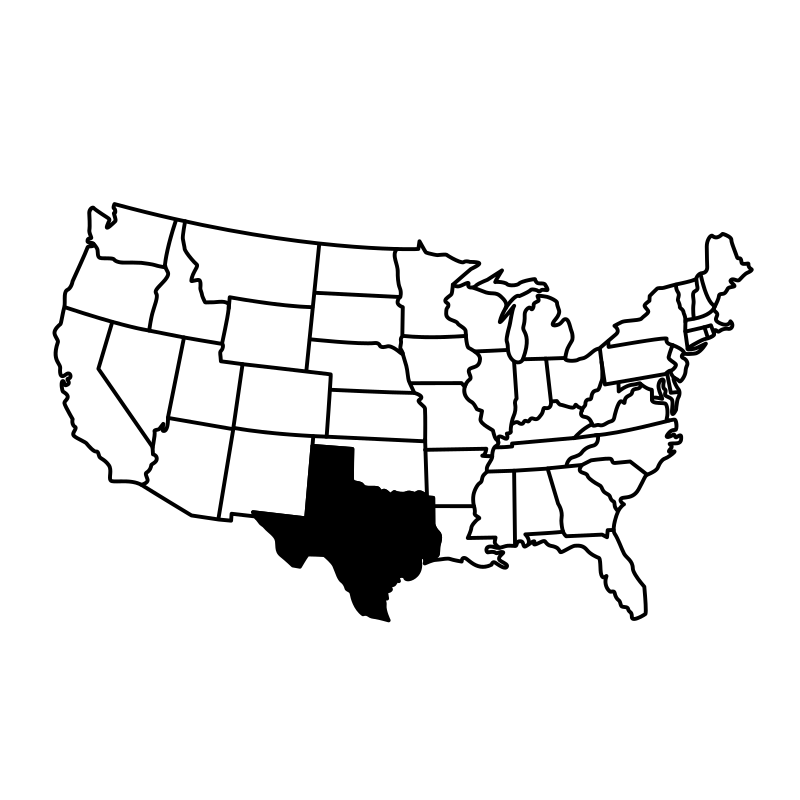
This collection features 50 detailed SVG icons of individual U.S. states, rendered in a clear, vector-based map style. Each icon accurately represents the geographical shape of a specific state, suitable for projects requiring precise regional identification. These icons are ideal for use in UI/UX design, educational applications, travel platforms, and data visualization dashboards that highlight U.S. geography or state-specific information. The consistent visual approach ensures seamless integration across various digital projects, particularly for audiences in government, education, or cartography.
Icons in this Collection
Browse and download all 50 vector icons

alabama states map

alaska state map

California map 2016

colorado state map

connecticut state map

delaware state

georgia map pdf

hawaii islands map

idaho map print

Kansas Map Map

kentucky state map

louisiana state map

map of arizona

map of arkansas
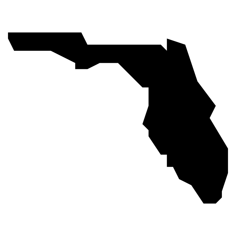
Map Of Florida

map of illinois

map of indiana

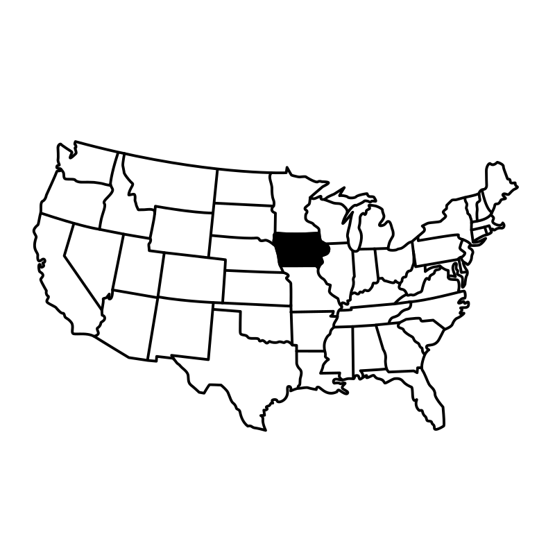
map of iowa

map of maine

map of massachusetts

map of new hampshire

map of oregon

map of rhode island

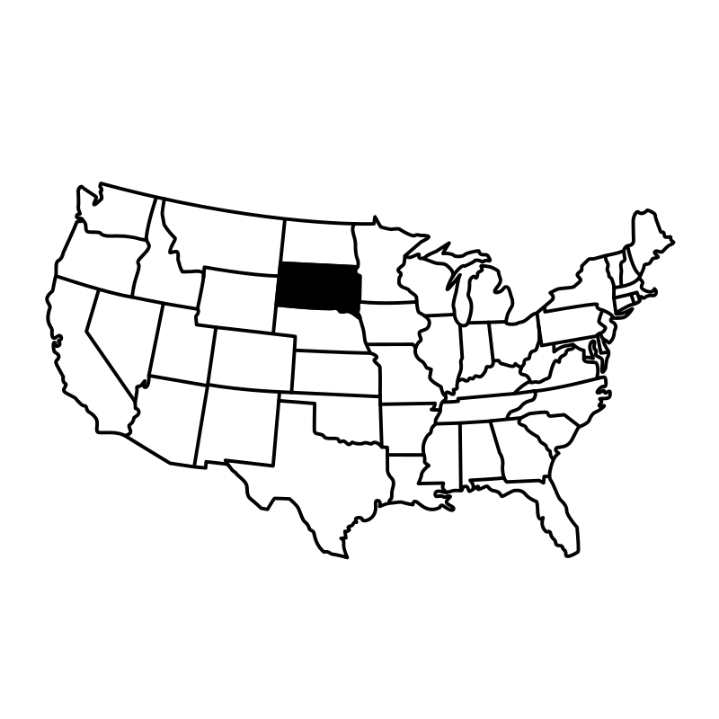
map of south dakota
More Maps & Navigation Collections




Map Pin V 3 Alternate Names50 icons




Location Vectors49 icons



United States Maps A Collection Of Maps Of49 icons
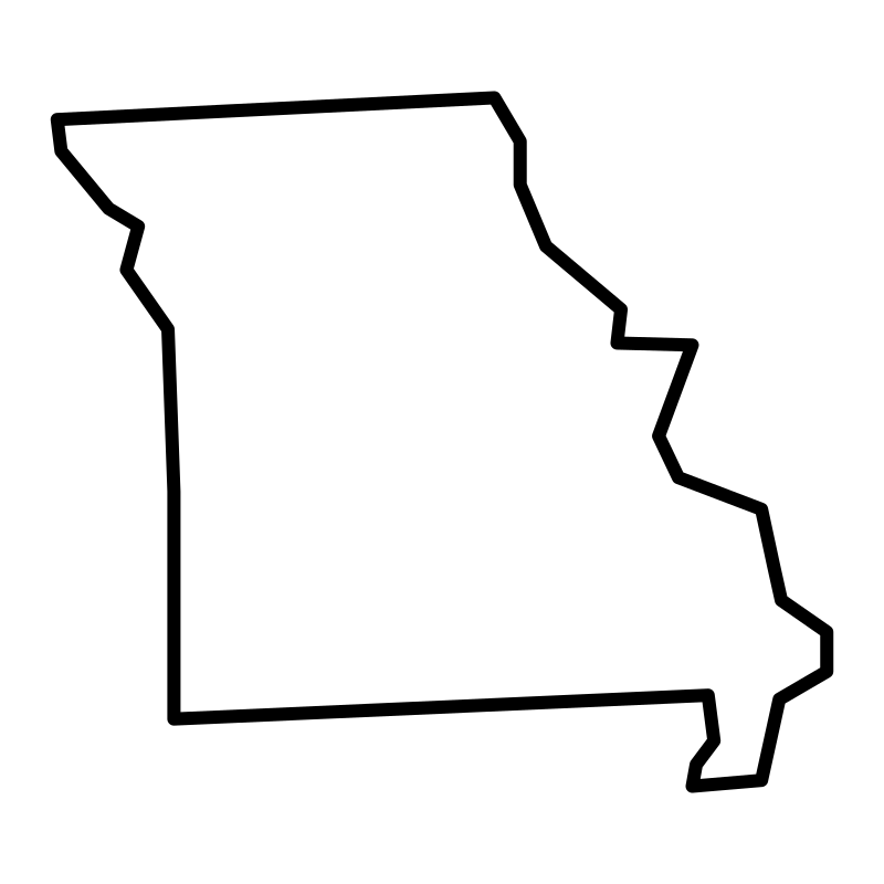
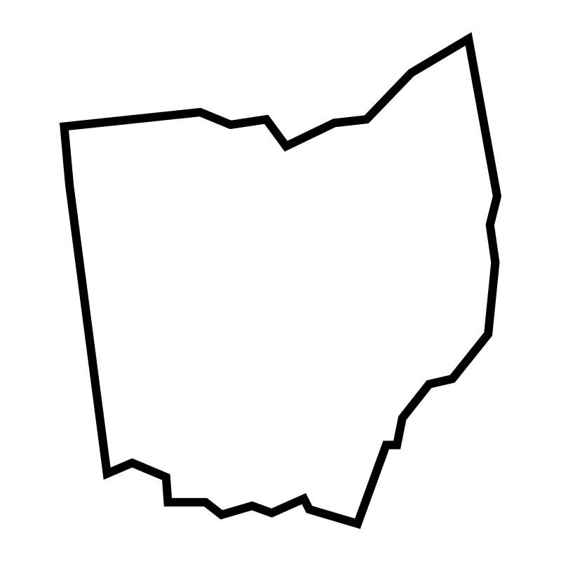
Vector States Maps Of The United States49 icons




Navigation And Gps Collection49 icons




Advanced Gps And Navigation49 icons




Outline Geography In Pictures SVG Icons49 icons




African Countries Maps Fill49 icons
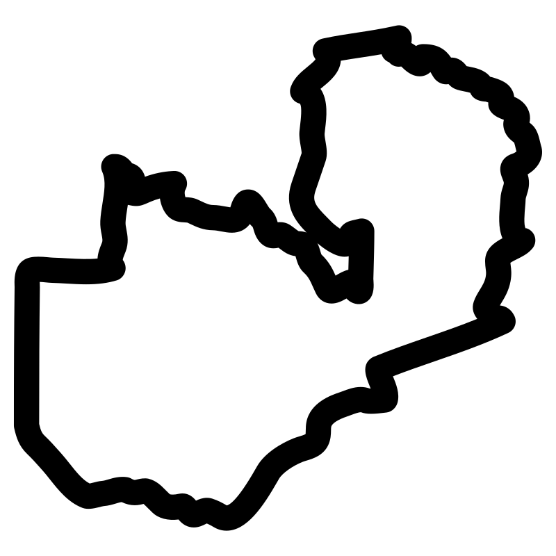

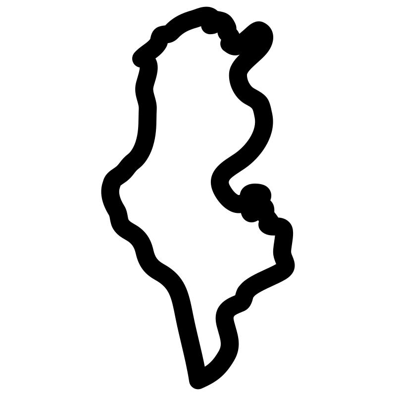
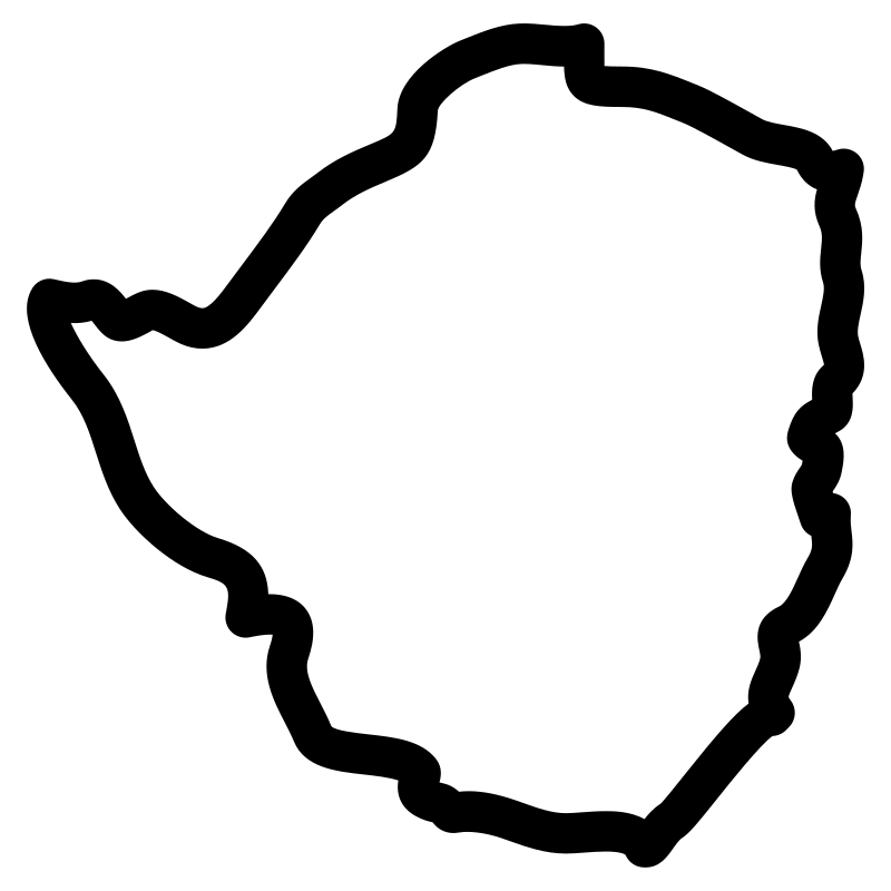
African Countries Maps49 icons
North America49 icons




Location Filled A Collection Of Maps Icons for Web & UI Design48 icons




Mapping Art Projects48 icons
Artist:Hea Poh Lin
License:CREATIVECOMMONS