
Maps & Navigation
European Country Maps
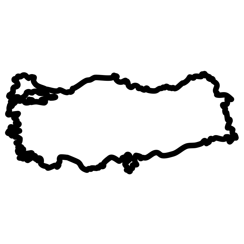
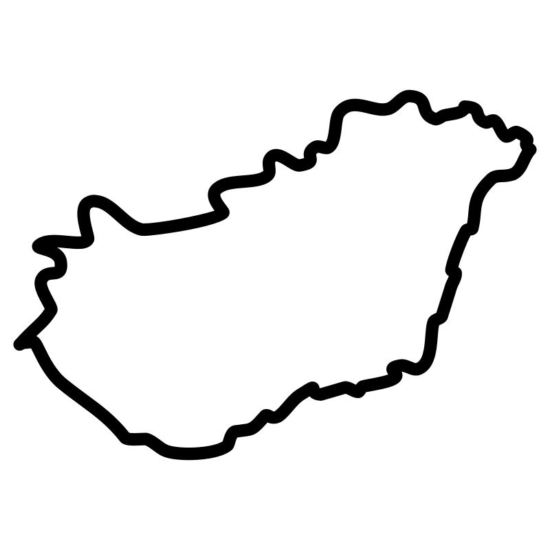
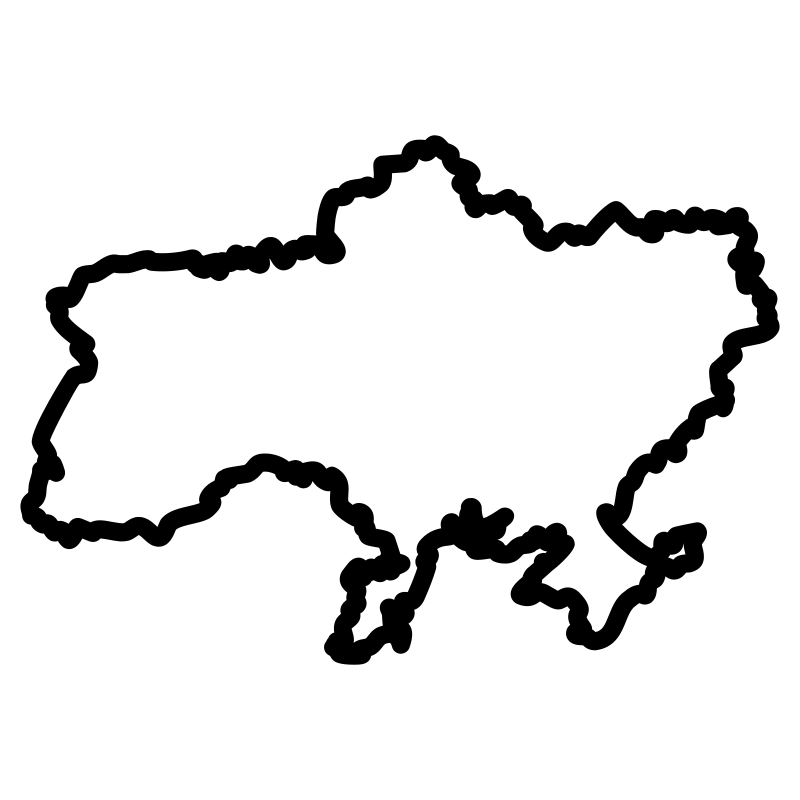
Geographical vectors featuring detailed outlines and regional boundaries of thirty-eight European nations and territories provide accurate cartographic references for digital projects. This collection of SVG icons includes clean national maps, provincial borders, and island details designed with a consistent minimalist stroke style. Developers and designers utilize these scalable graphics within web design, travel applications, educational platforms, and interactive dashboards. The set serves industries ranging from tourism and logistics to international business and data visualization.
Icons in this Collection
Browse and download all 38 vector icons
Albania map pdf
Austria provinces
Belarus Map Google
Belgian map
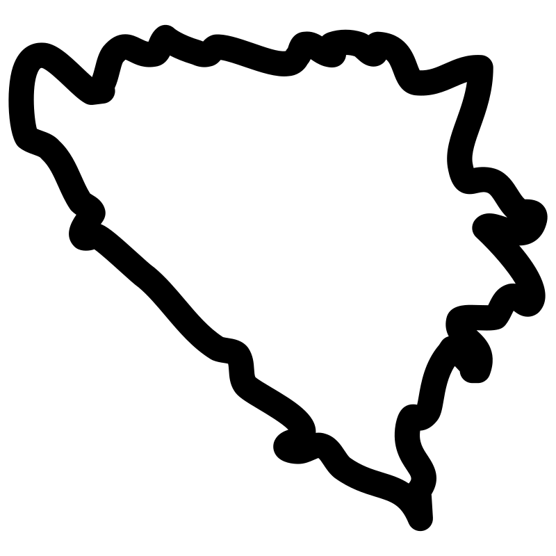
Bosnia and Herzegovina map
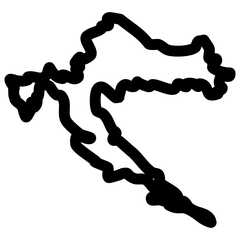
Croatian islands
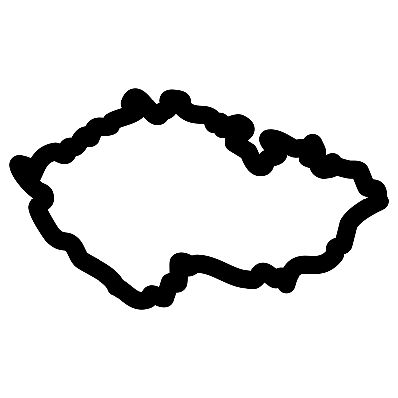
Czech republic map pdf
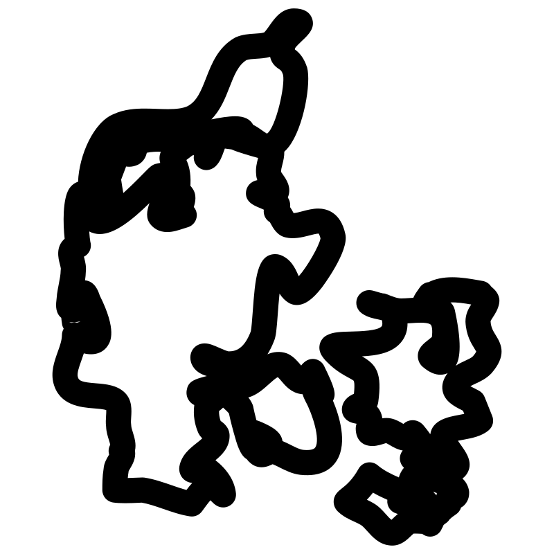
Denmark map print
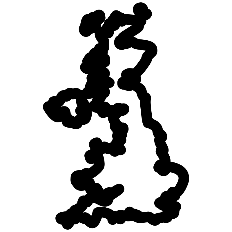
Englands
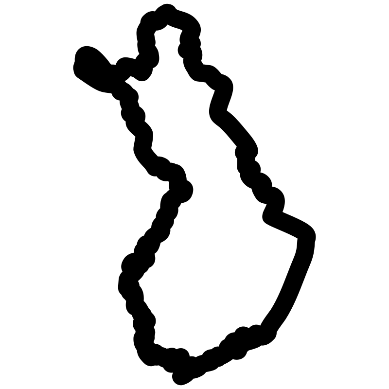
Finland map map
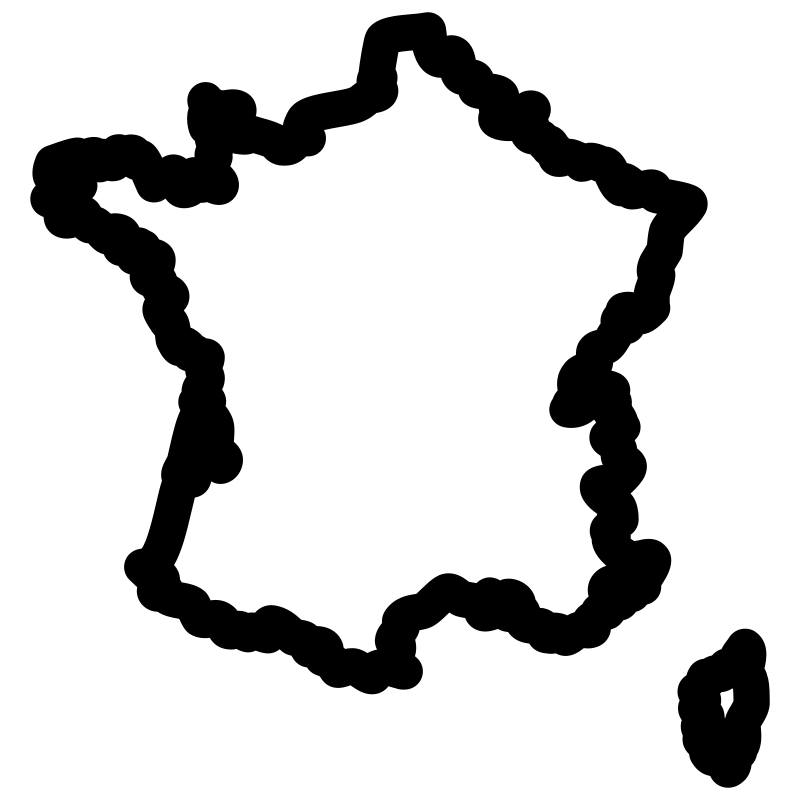
France Maps
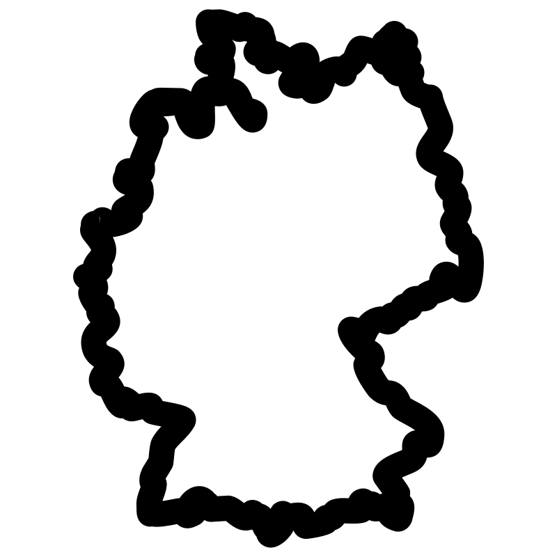
Germany Maps
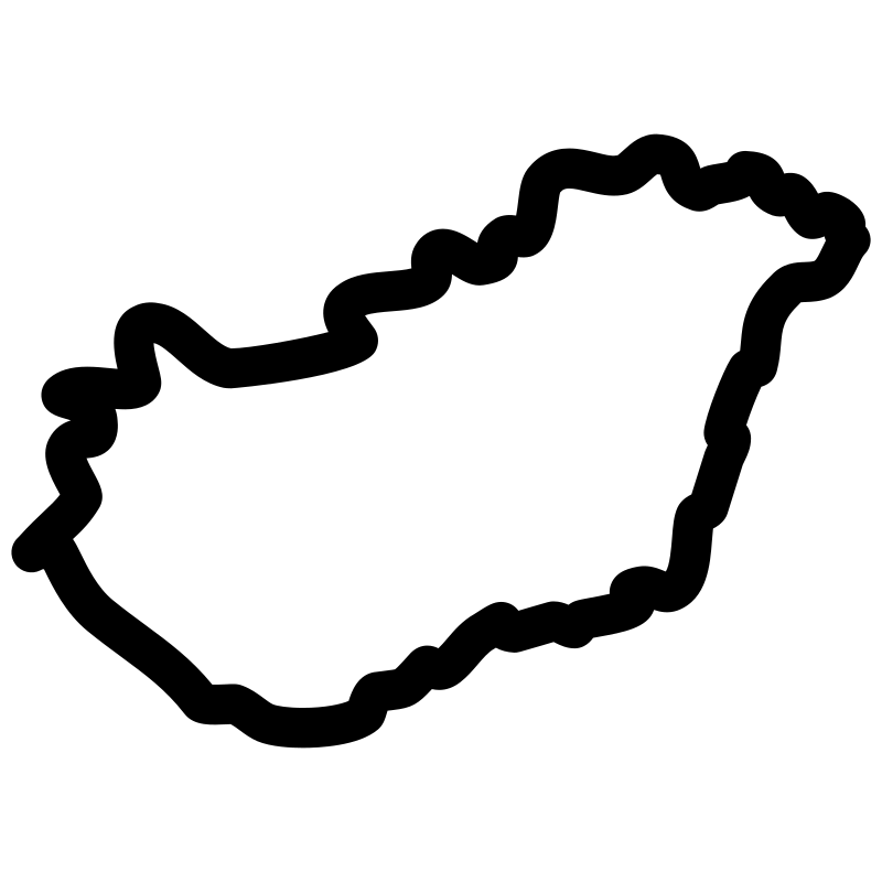
Hungary map online
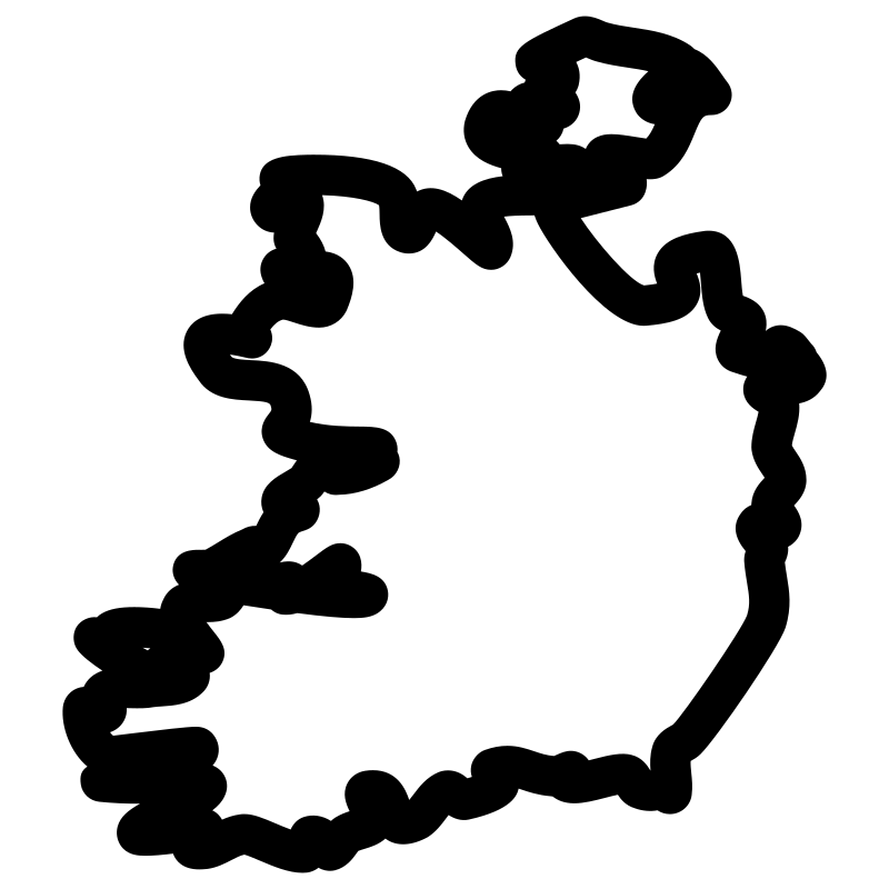
irish map
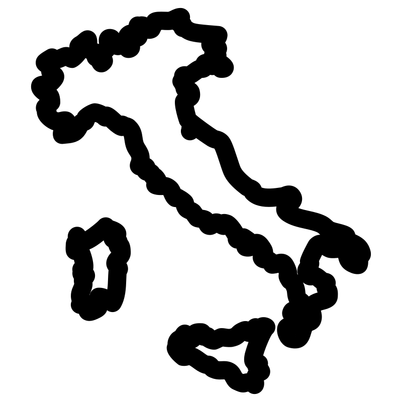
italy map print
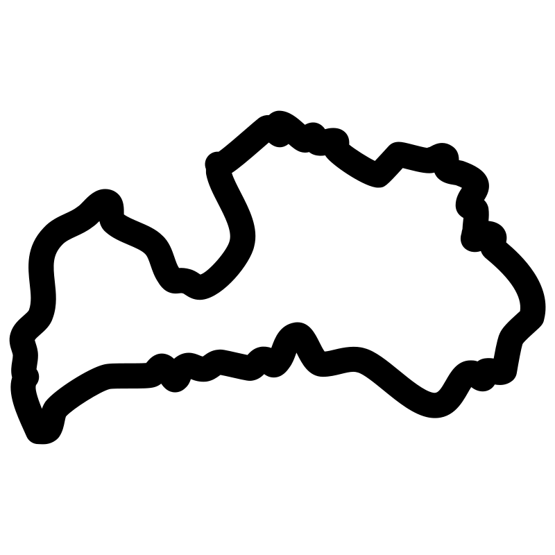
Latvia map 2016
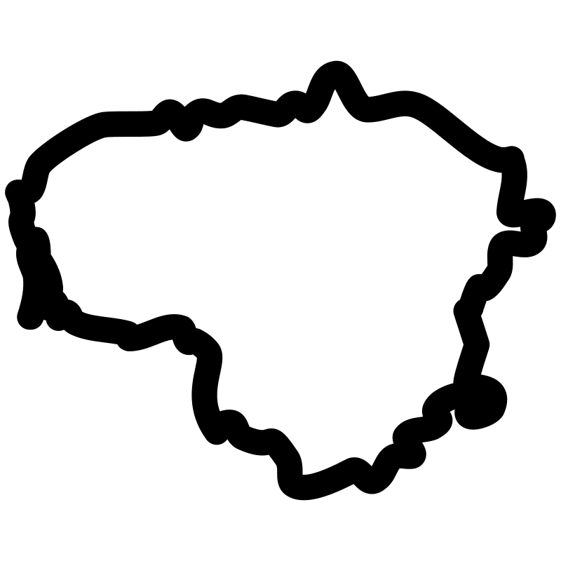
Lithuania map 2017
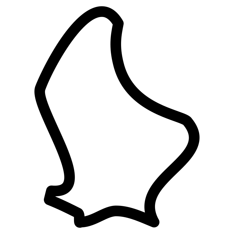
luxembourg city
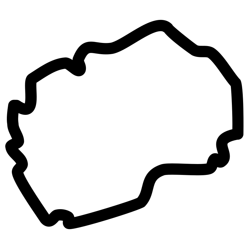
Macedonia topography
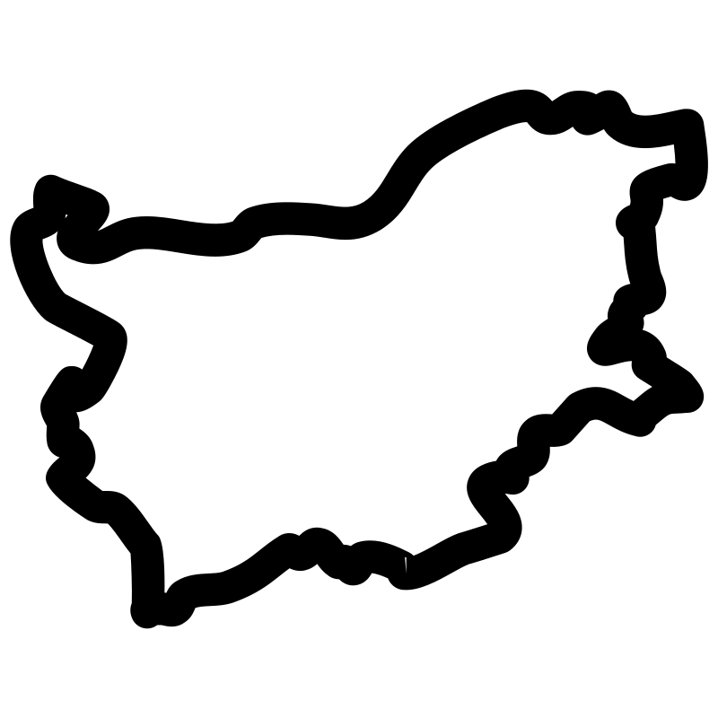
map of Bulgaria
map of Estonia

map of Iceland
map of Moldavia
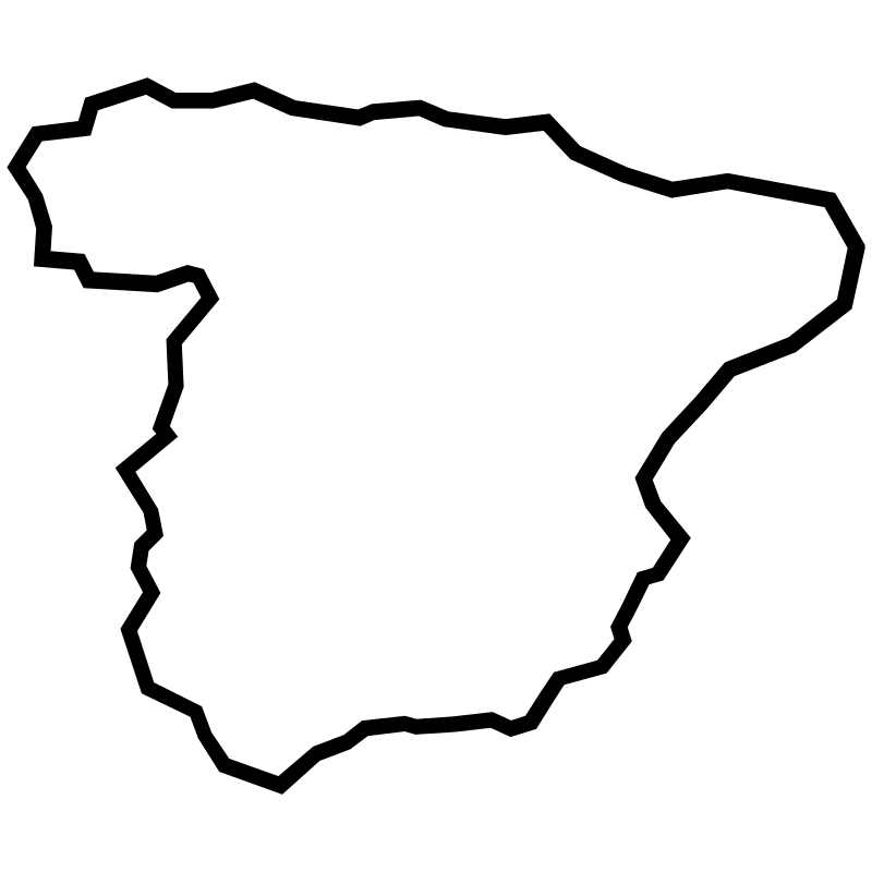
map of spain
More Maps & Navigation Collections



Cartographic Interface Pack37 icons



Vector Collection Urban Infrastructure36 icons
European Countries Maps Thin Collection35 icons




Global Positioning System35 icons




Map Pins35 icons
Maps Of Germany34 icons



Global Pin And Map Collection34 icons

Stoke Icons33 icons




Adventure Maps33 icons


The Cartography Collection32 icons



Global Earth Navigation Location32 icons




Location31 icons
Artist:Mohamed Mb
License:CREATIVECOMMONS