
Maps & Navigation
France Map Europe A Collection Of Maps Of
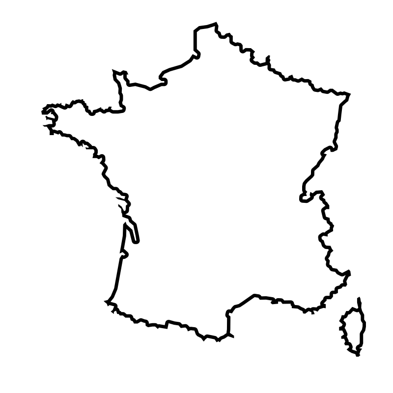
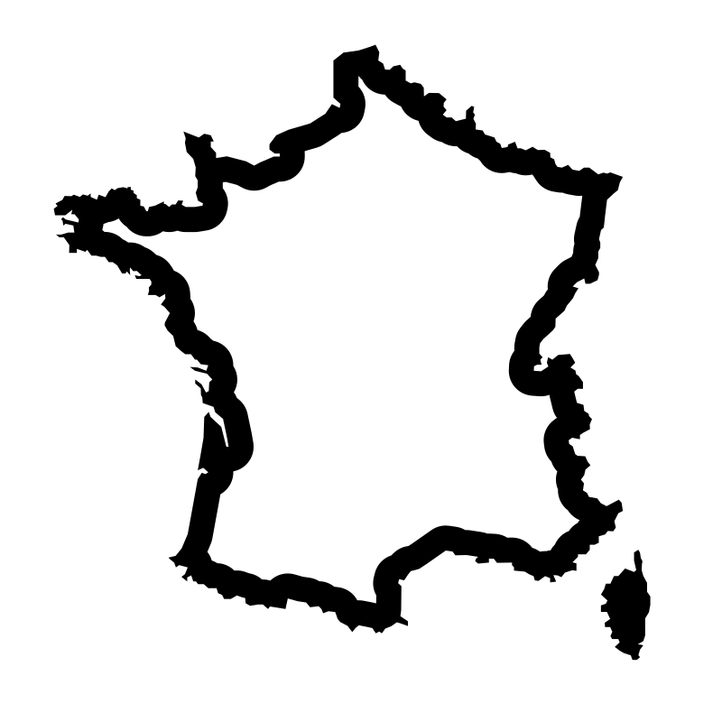
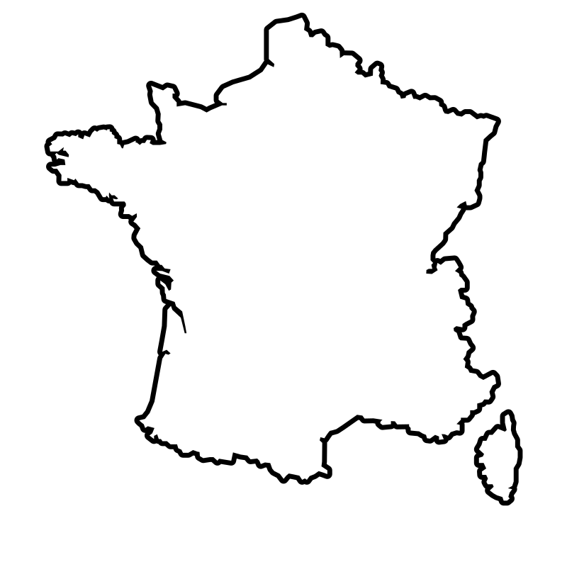
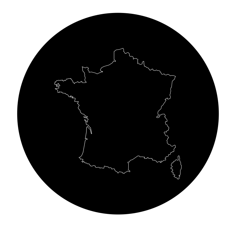
Geographical navigation graphics created by Rahe feature a focused set of twelve outline and solid vectors highlighting regional boundaries and country layouts across Europe. This collection of scalable SVG icons includes detailed maps of France from various years, city layouts, and broader European contexts suited for cartographic projects. Designers can integrate these minimalist geographic assets into web design, travel applications, and educational dashboards. The clear vector lines make the illustrations effective for digital interfaces and informational displays within the tourism and publishing sectors.
Icons in this Collection
Browse and download all 12 vector icons
More Maps & Navigation Collections




Mapping Locations12 icons




Signs For Routes In The City11 icons



Logistical Pins11 icons



Vector Maps Of The World11 icons




Maps Stuff Polyline Maps10 icons




Outline And Paths10 icons


China 2010 icons
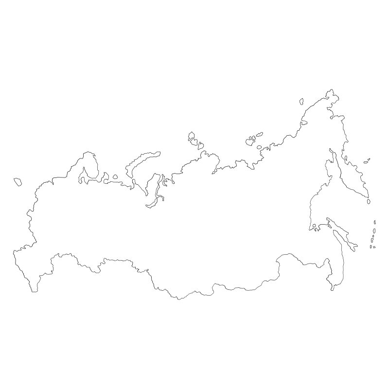
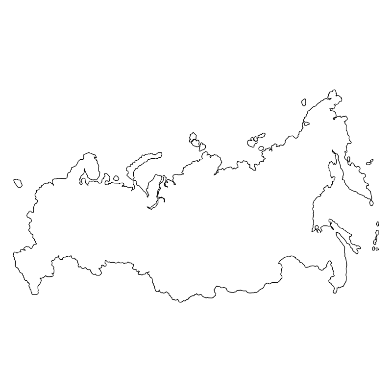
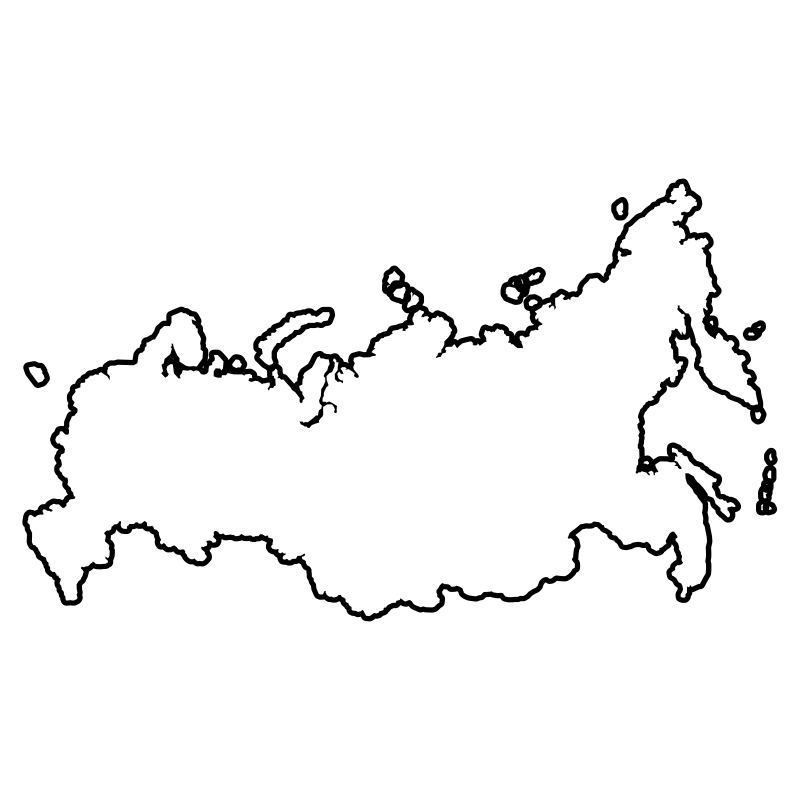
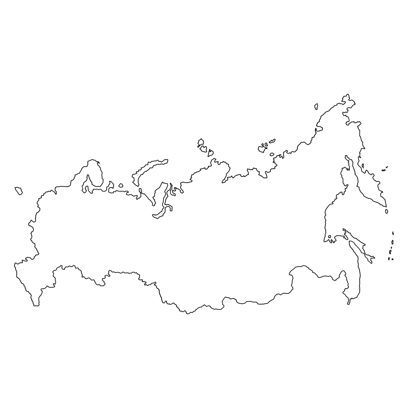
Russian Map Collection10 icons
Russian Map 20 The Geography10 icons
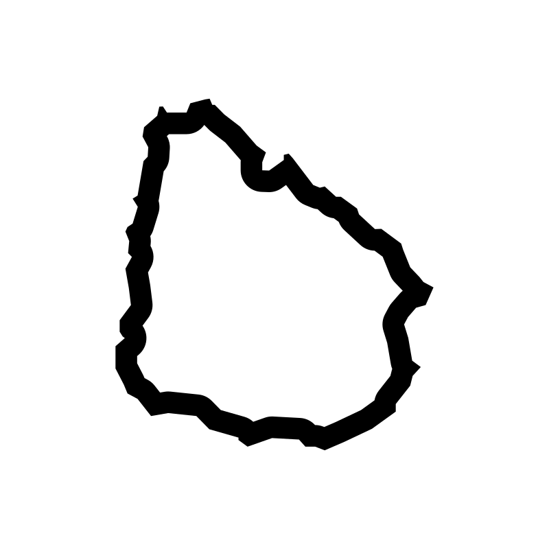
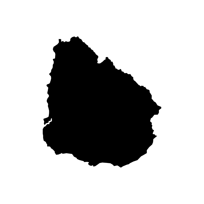
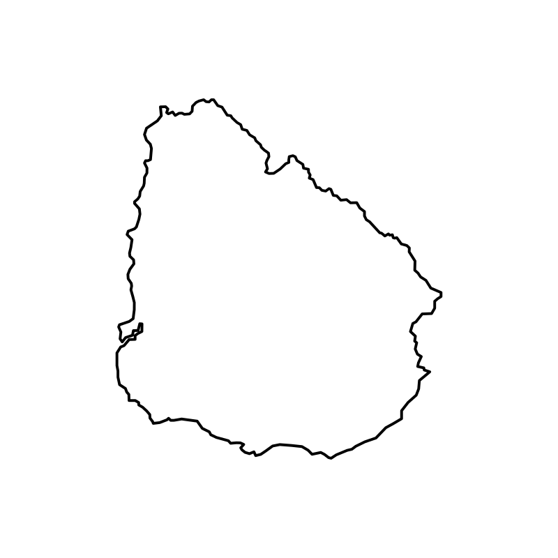
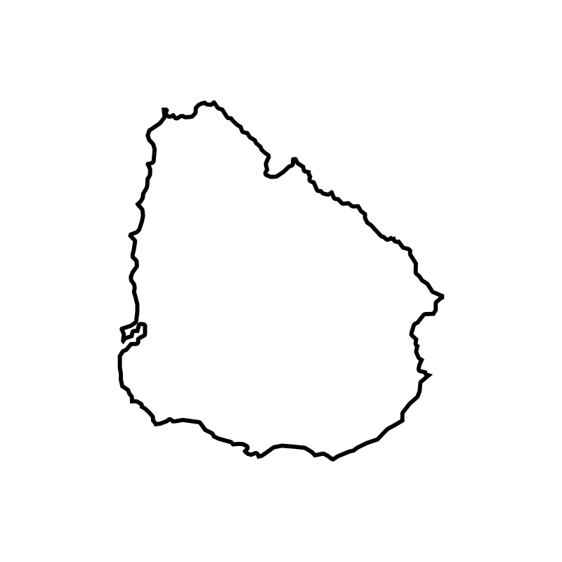
Map Of Uruguay10 icons
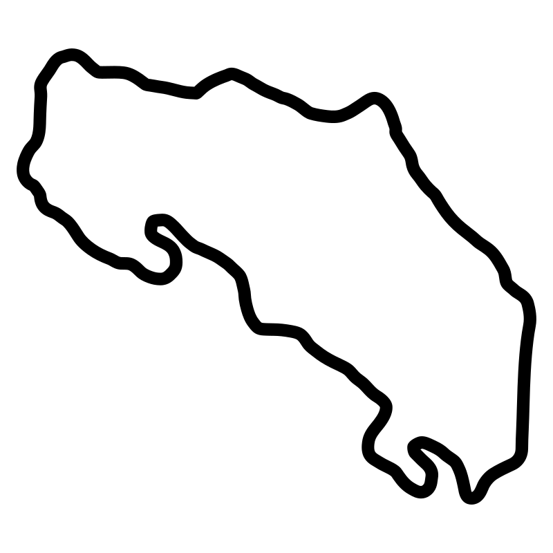
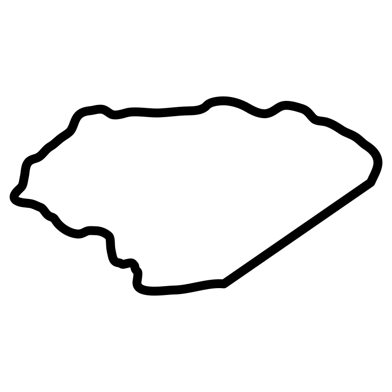
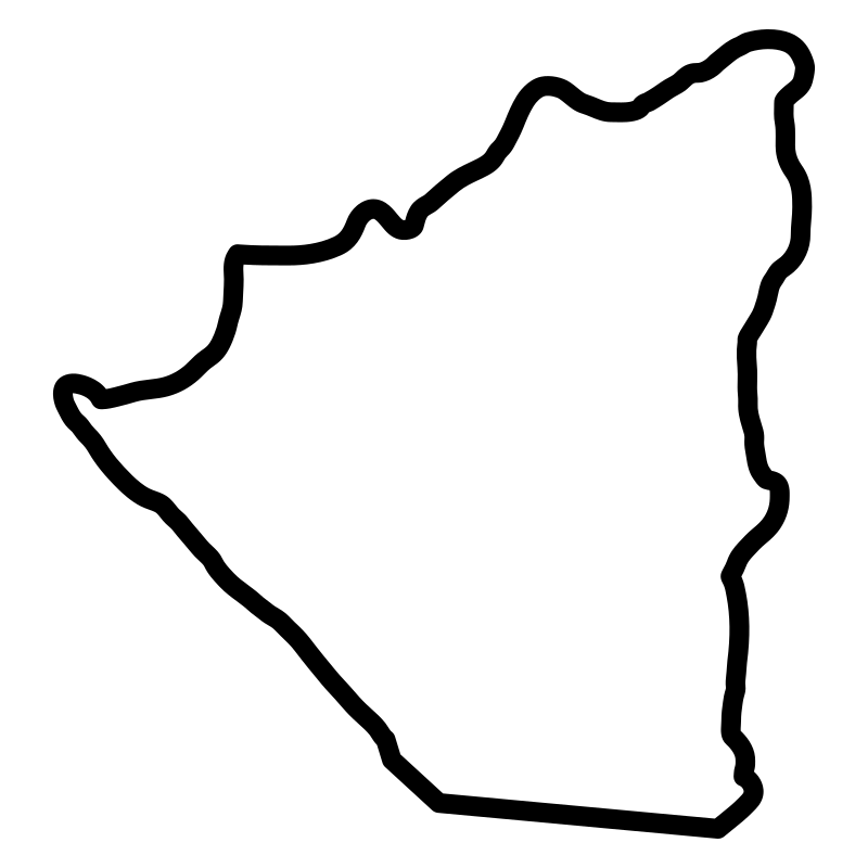
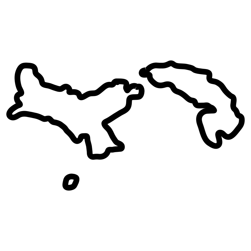
Central America Countries Maps Thin7 icons


Borders Without Borders2 icons
Artist:Rahe
License:CREATIVECOMMONS