
Tourism & Sightseeing
French Regions A Collection Of Vector Maps
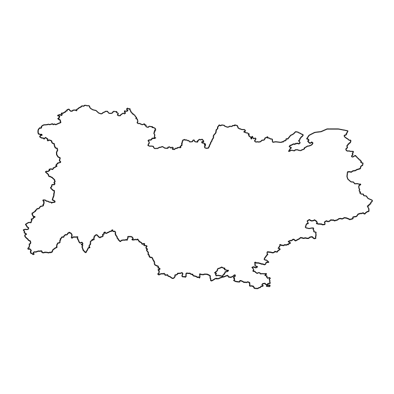
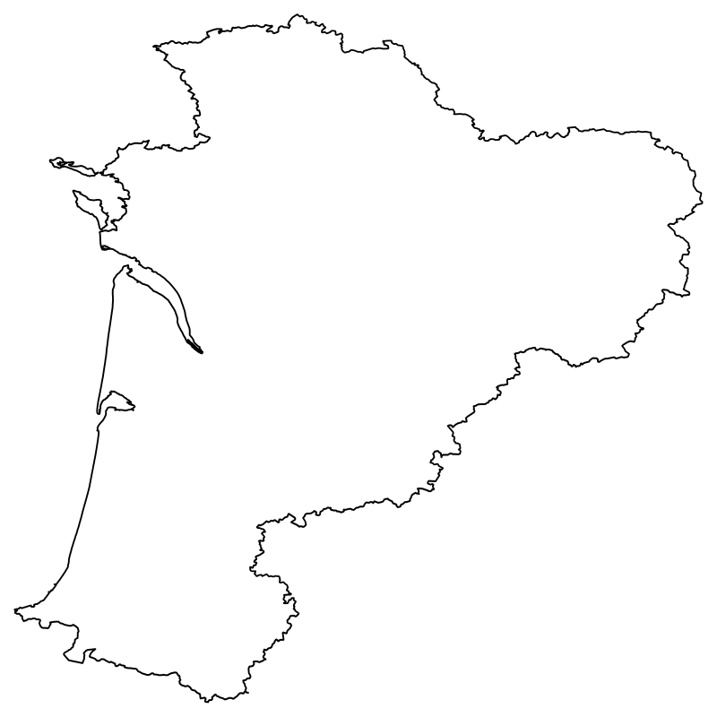
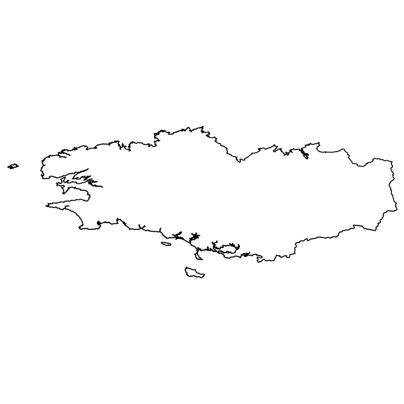
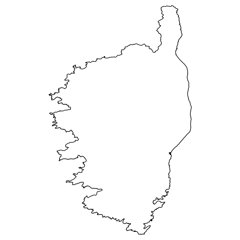
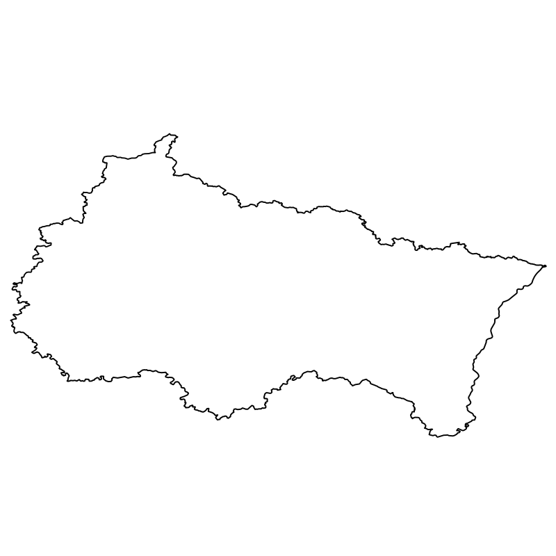
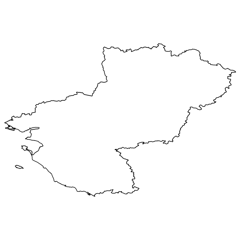
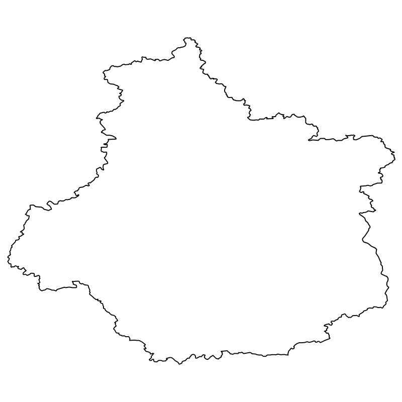
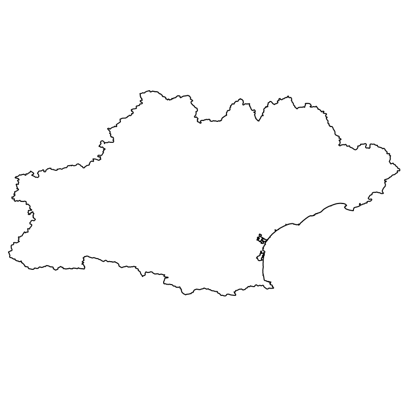
Geographical vector maps and regional symbols from France provide a targeted resource for European travel guides, tourism portals, and regional planning projects. Featuring clean outline and silhouette paths, these SVG icons scale smoothly for responsive web design, interactive maps, and regional administrative dashboards. The set includes prominent territorial shapes such as Brittany, Normandy, Burgundy, and the Alps alongside specific cultural boundaries like the Basque Country and the Occitan region. Developers and cartographers working on localized applications, educational materials, and cultural heritage platforms will find these regional vectors well-suited for interface design.
Icons in this Collection
Browse and download all 13 vector icons





More Tourism & Sightseeing Collections




Toronto Vector Collection12 icons




Capital And World Landmarks 2210 icons



The City Of London81 icons




Travel And Tourism Icons68 icons




Travelling And Landmarks The Best60 icons




Travel And Landmarks The Best Of The SVG Icons44 icons
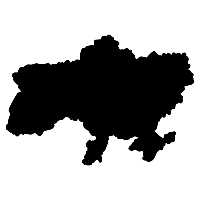
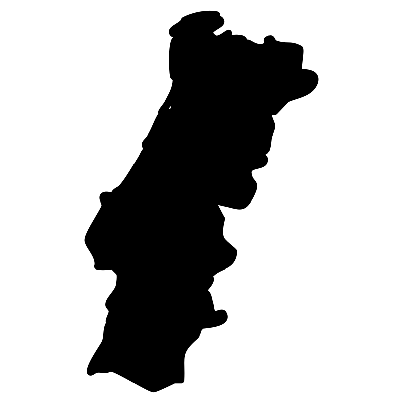
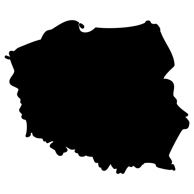

European Countries Maps Countries In Order Of Population37 icons
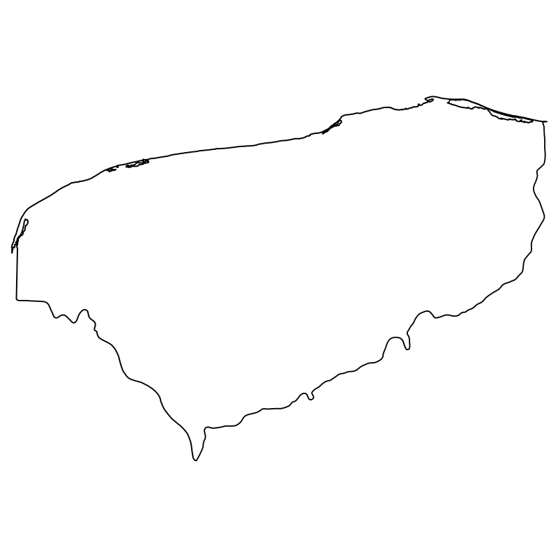
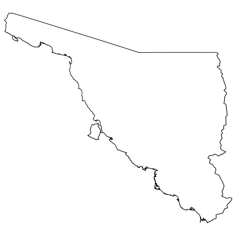
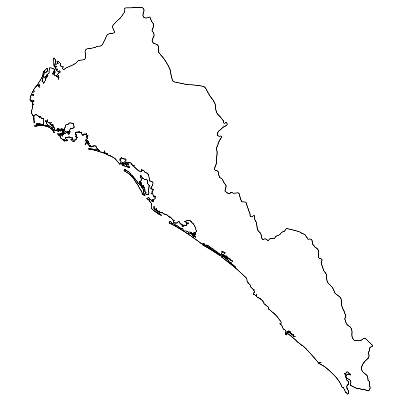
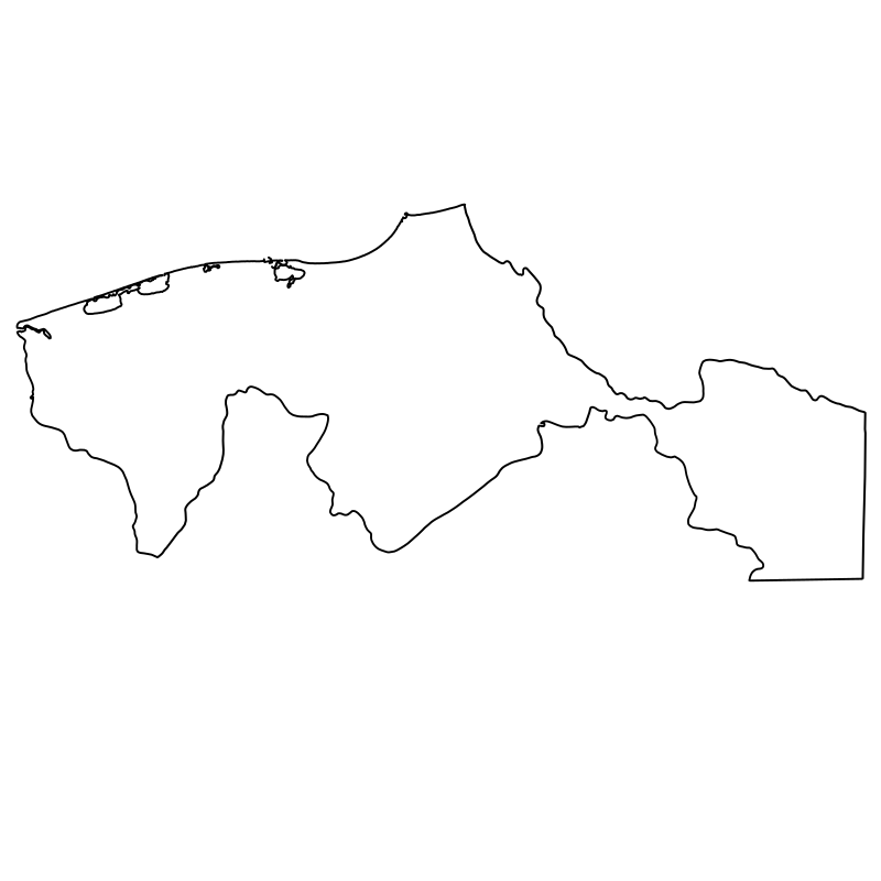
Mexican States A Vector Collection32 icons
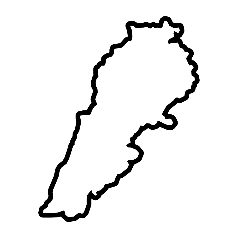
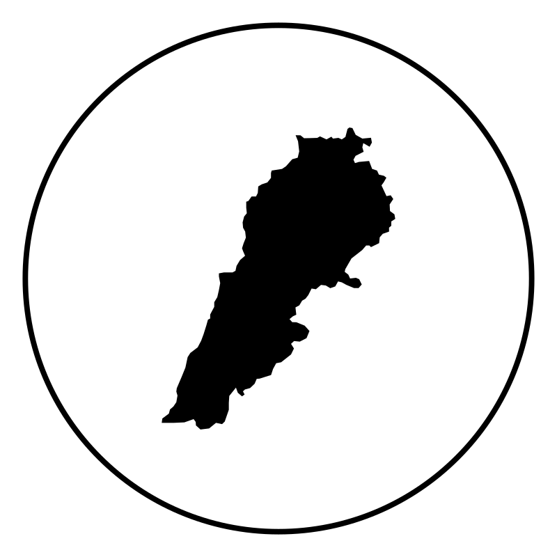
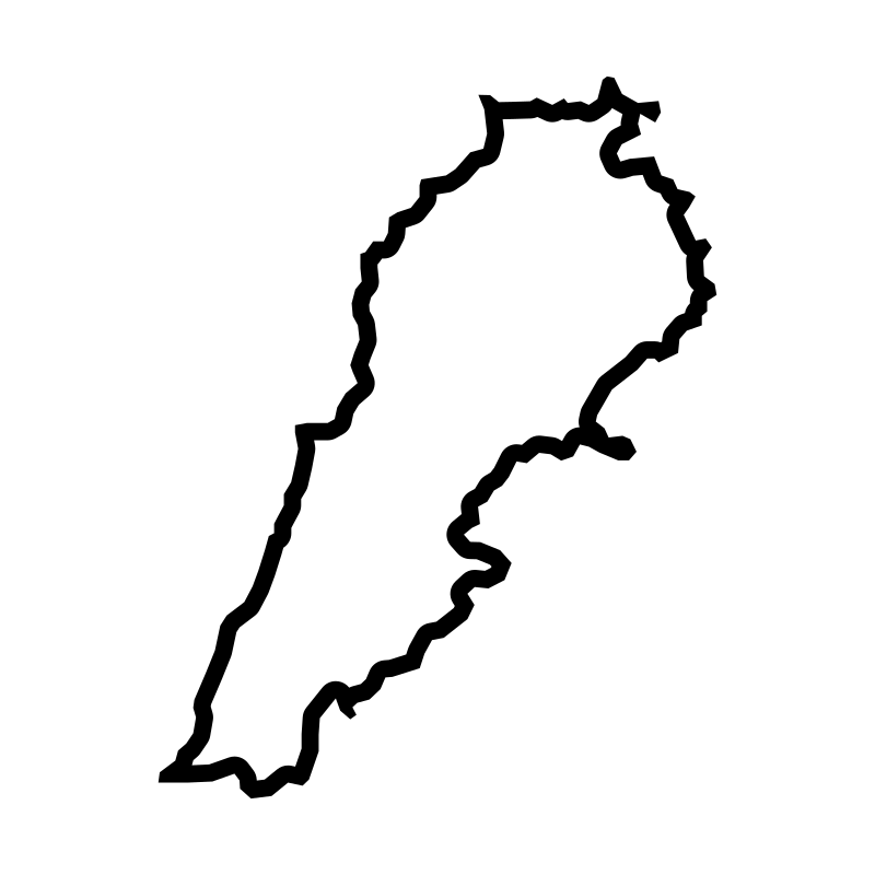
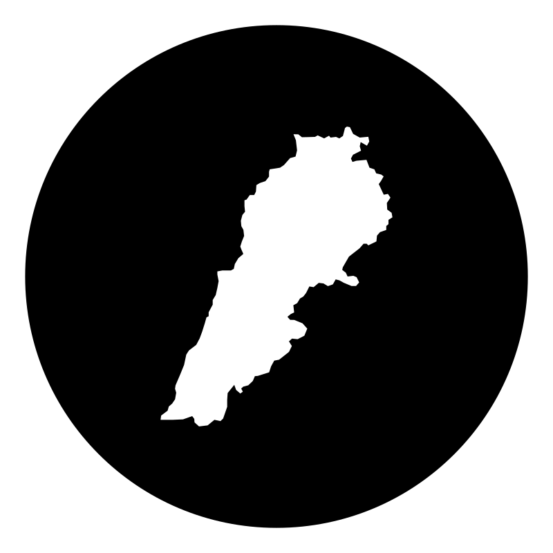
Syria Lebanon Map30 icons
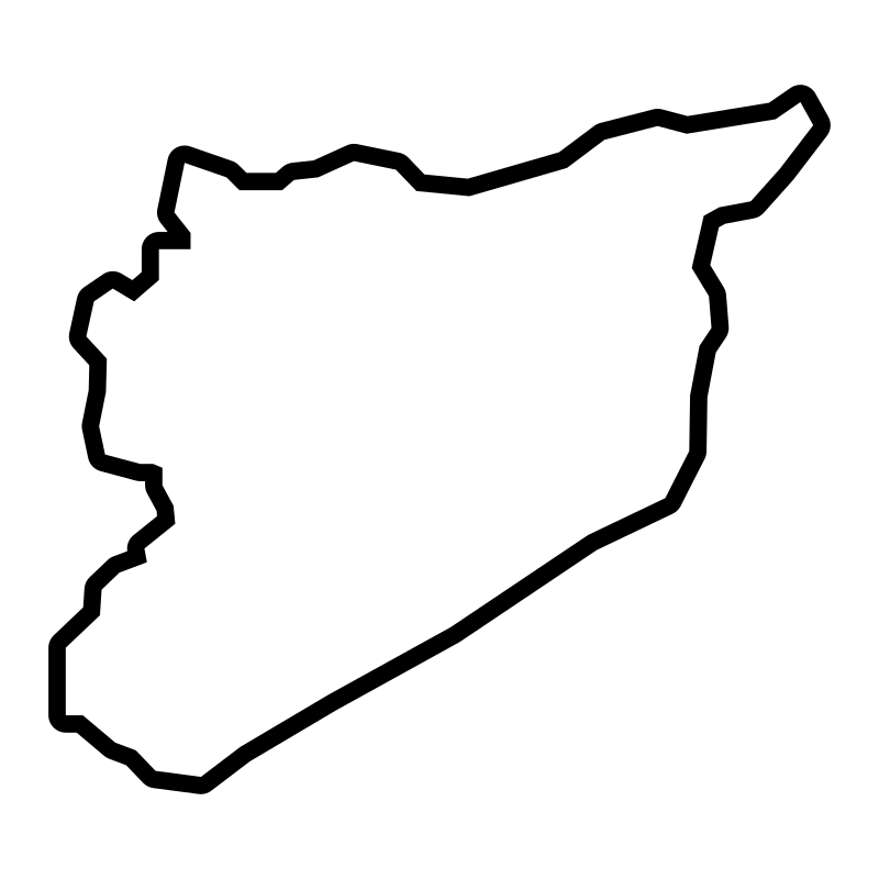
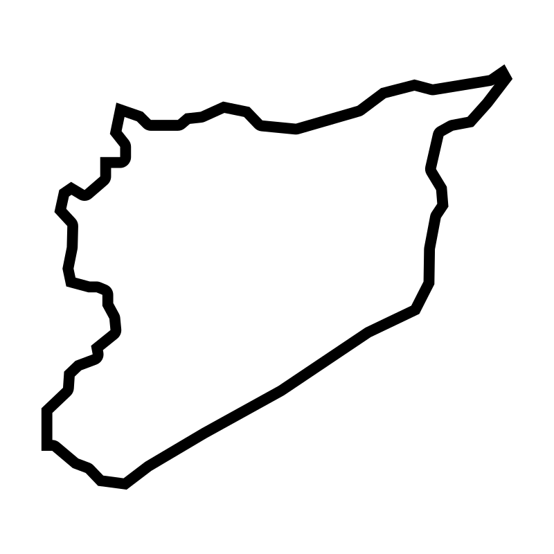
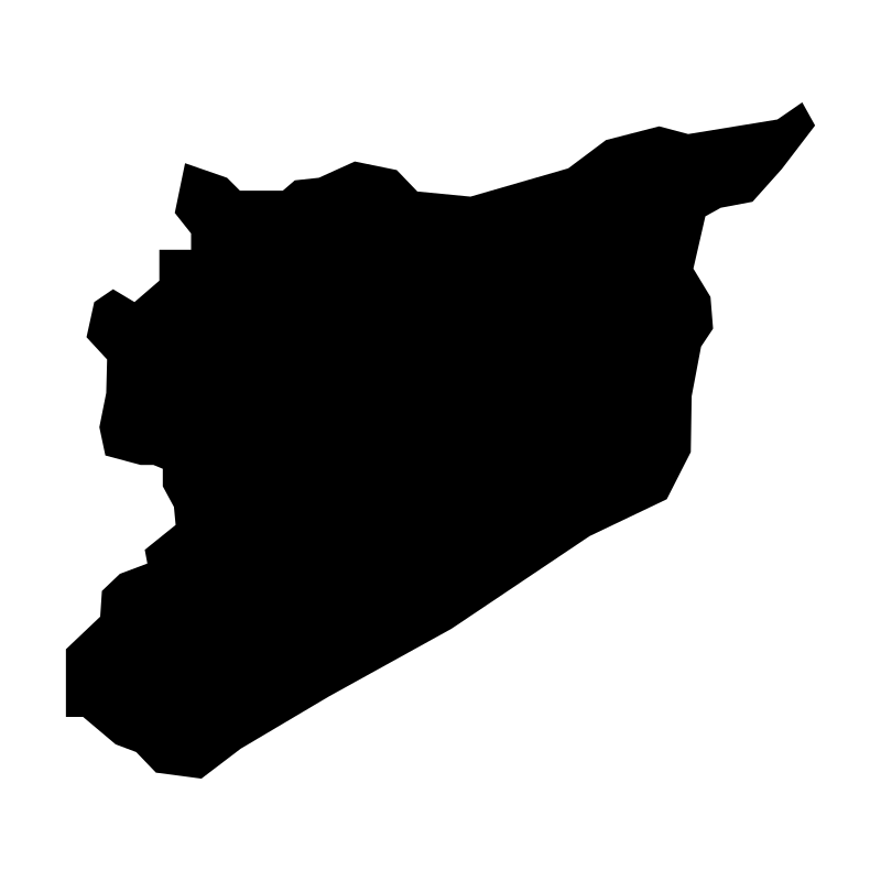
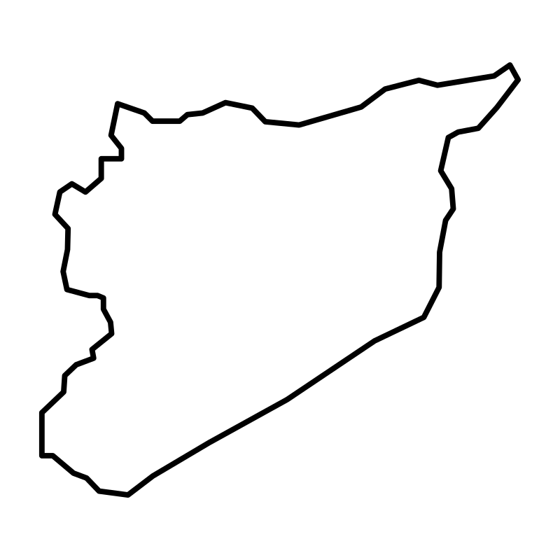
Syria Maps30 icons
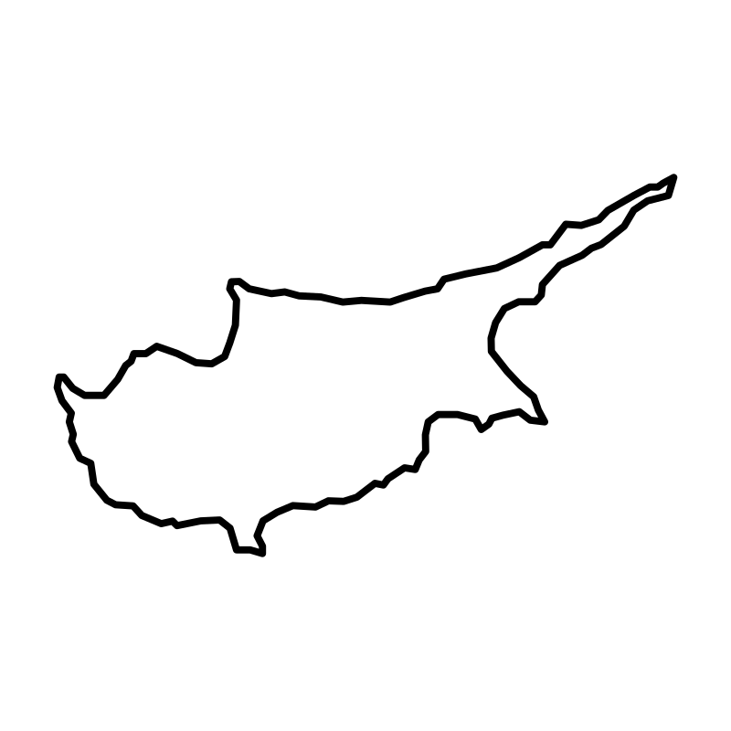
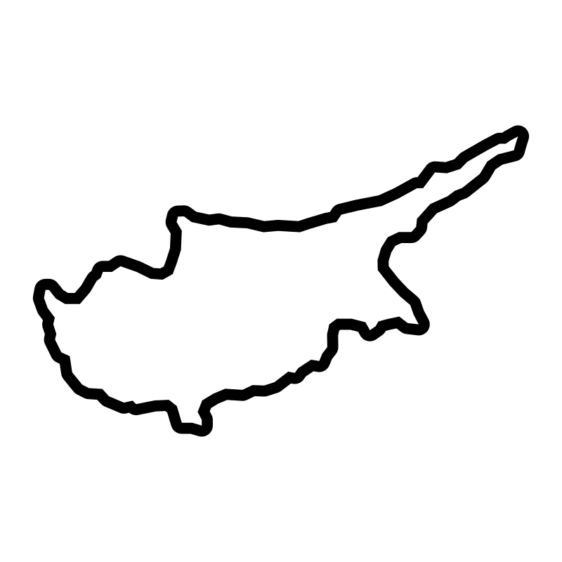
Cyprus Maps30 icons
Iran Map With Capital Cities30 icons
Artist:clckw
License:CREATIVECOMMONS