
World History
Geographic Maps Of The World
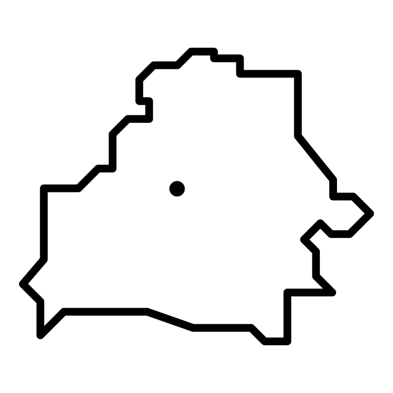
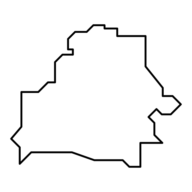
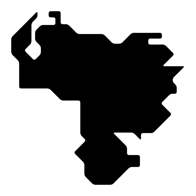
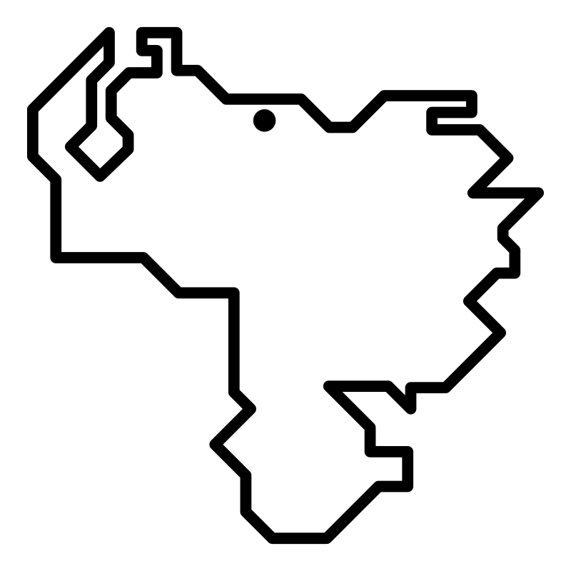
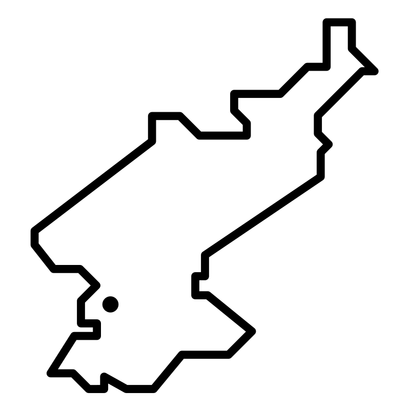
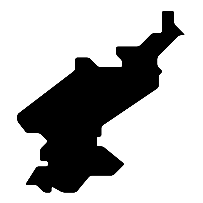
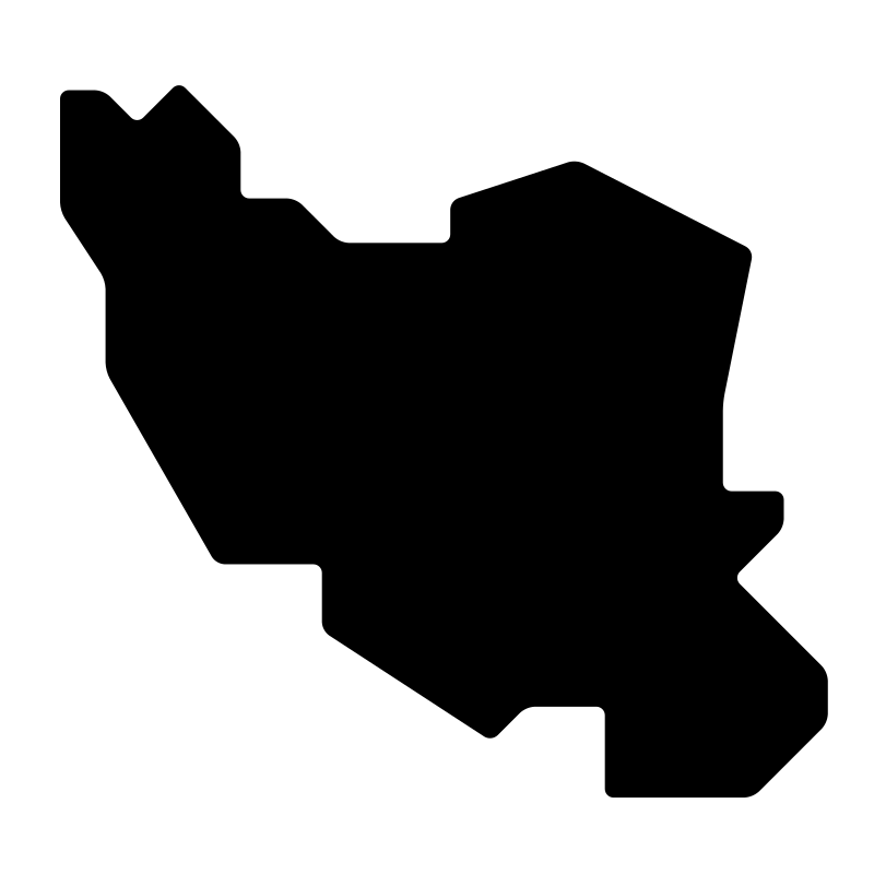
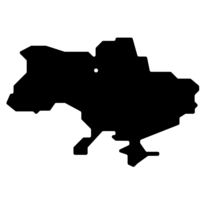
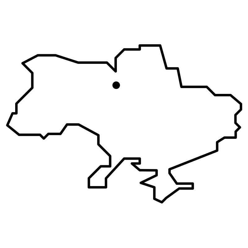
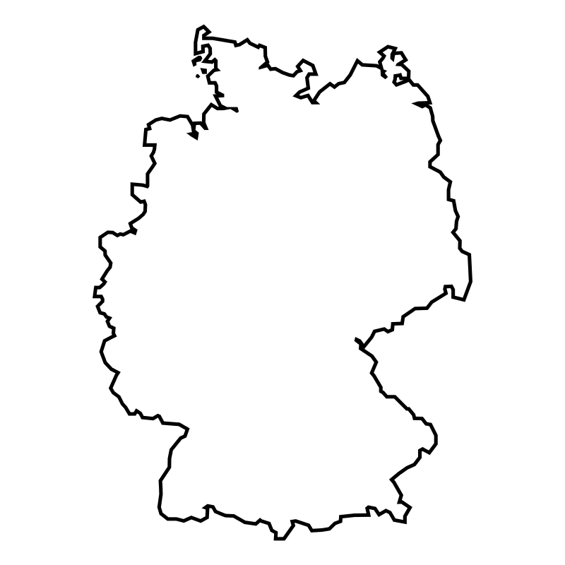
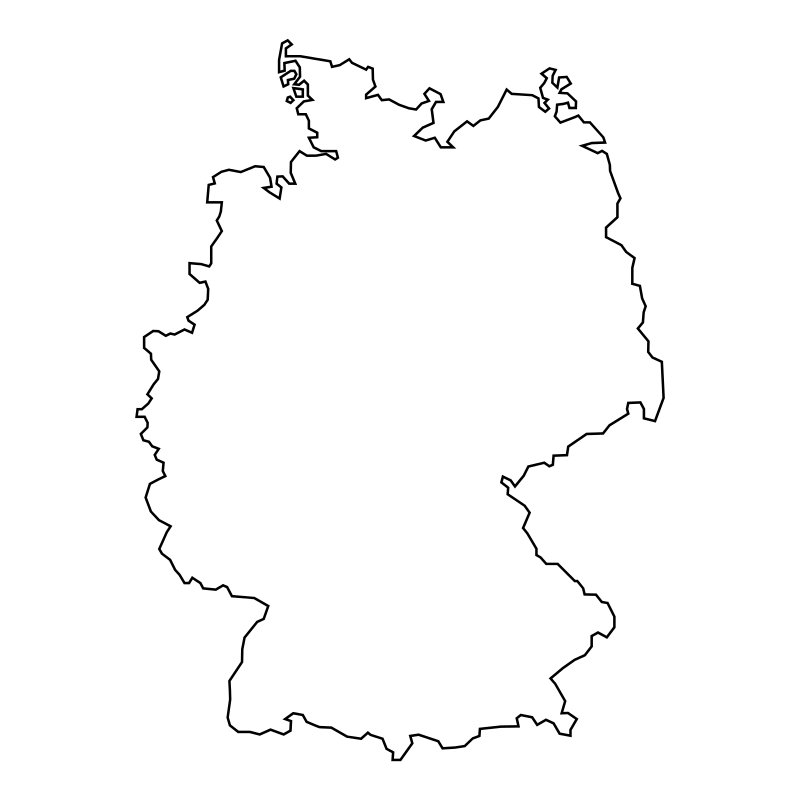
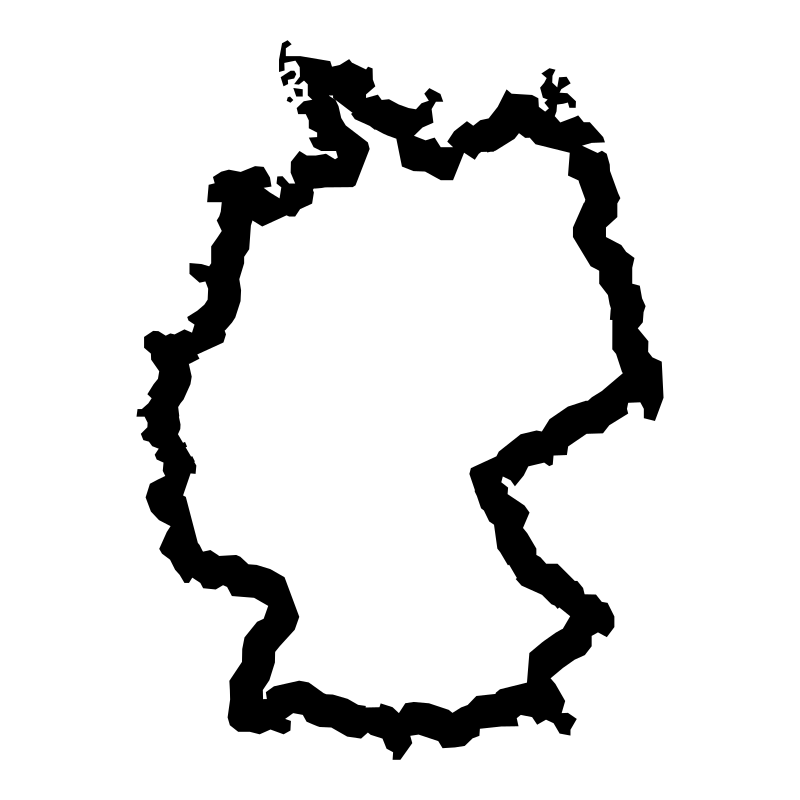
Geographic Maps Of The World provides a targeted selection of vector graphics illustrating historical territories, national borders, and prominent geopolitical figures. Designed with clean, minimalist outlines, this set of SVG icons covers specific international conflicts, historical empires, and modern sovereign regions. These illustrations integrate smoothly into educational interfaces, research platforms, digital articles, and global news dashboards. Researchers, historians, and educators rely on these visuals to communicate complex geopolitical contexts clearly across various digital and print formats.
Icons in this Collection
Browse and download all 17 vector icons




More World History Collections
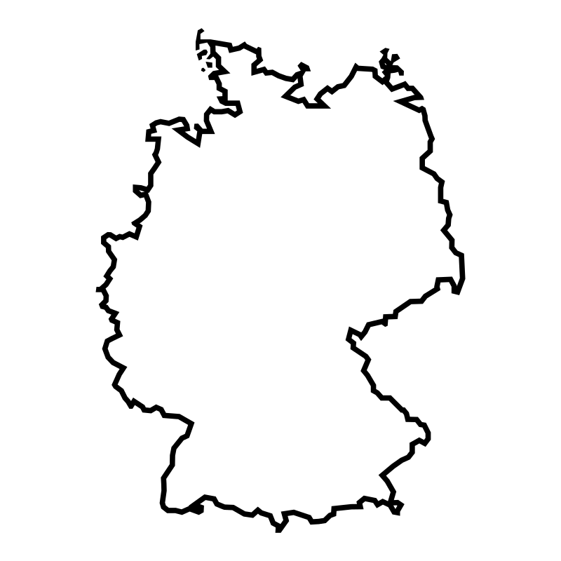
Germany Atlas17 icons
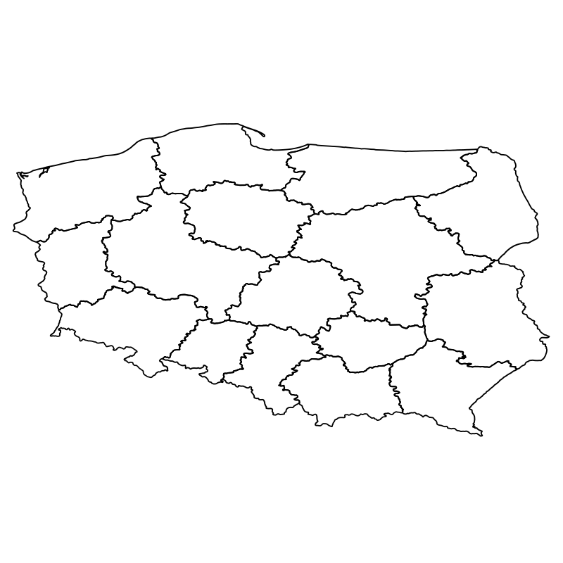

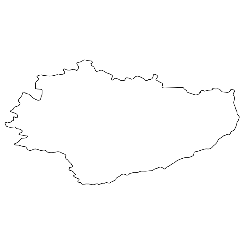
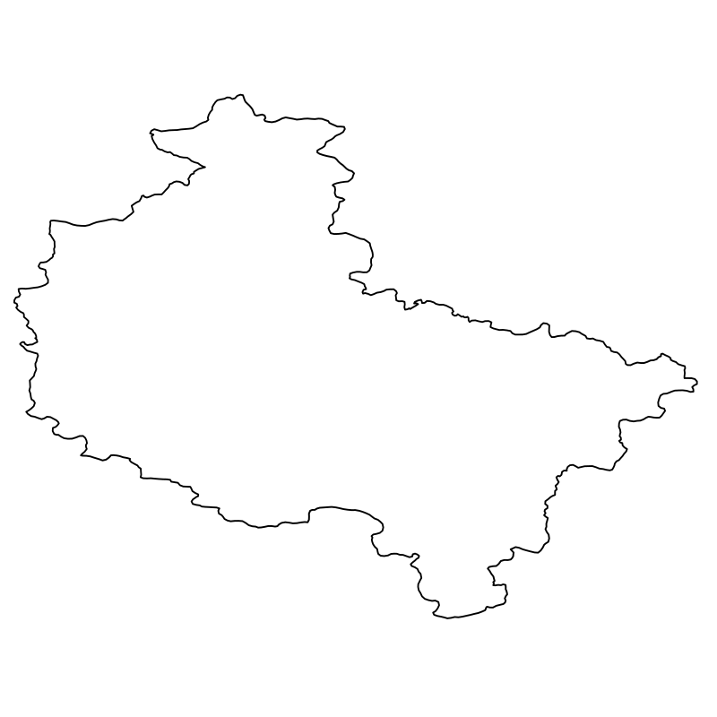
Poland Counties A Vector Collection Of17 icons
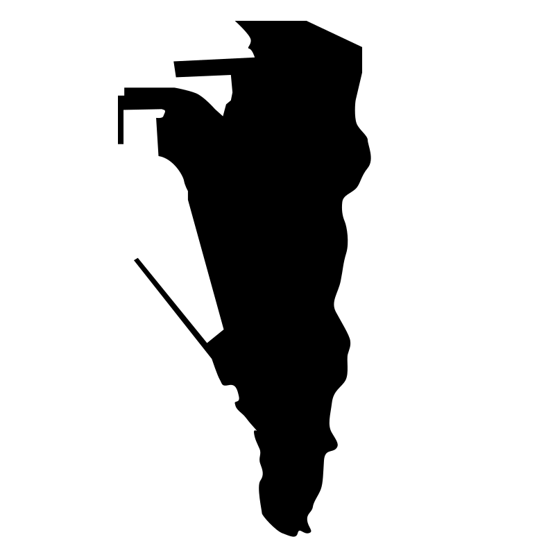

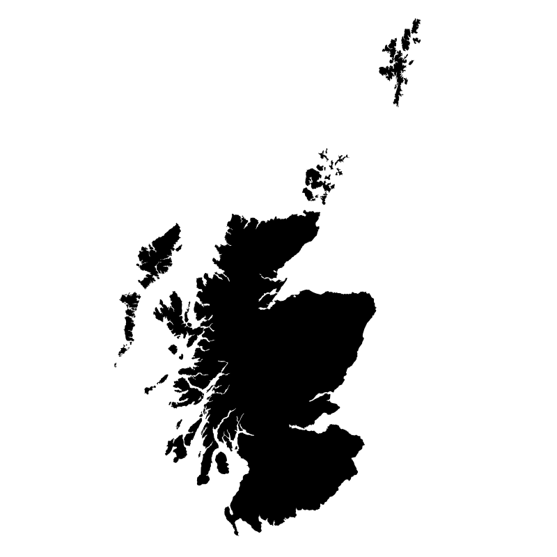
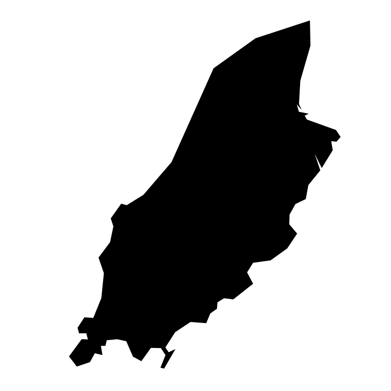
Uk Regions North, South, East,16 icons
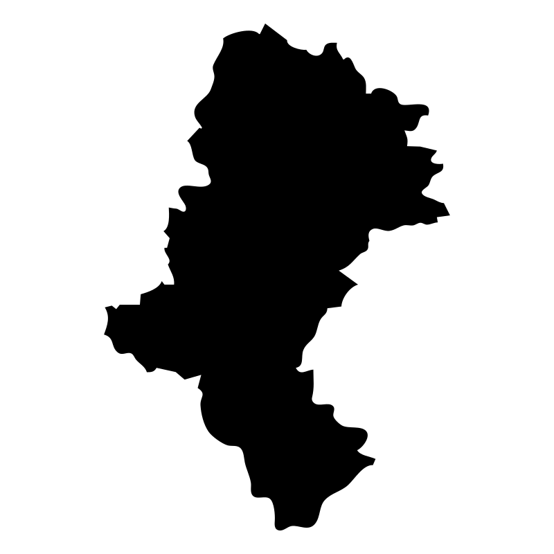


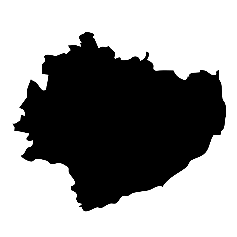
Gminas16 icons


Awesome Vector Graphics16 icons
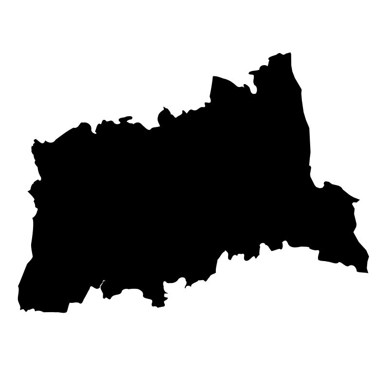
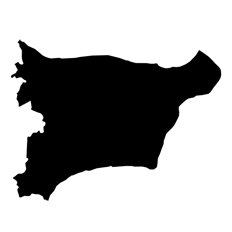
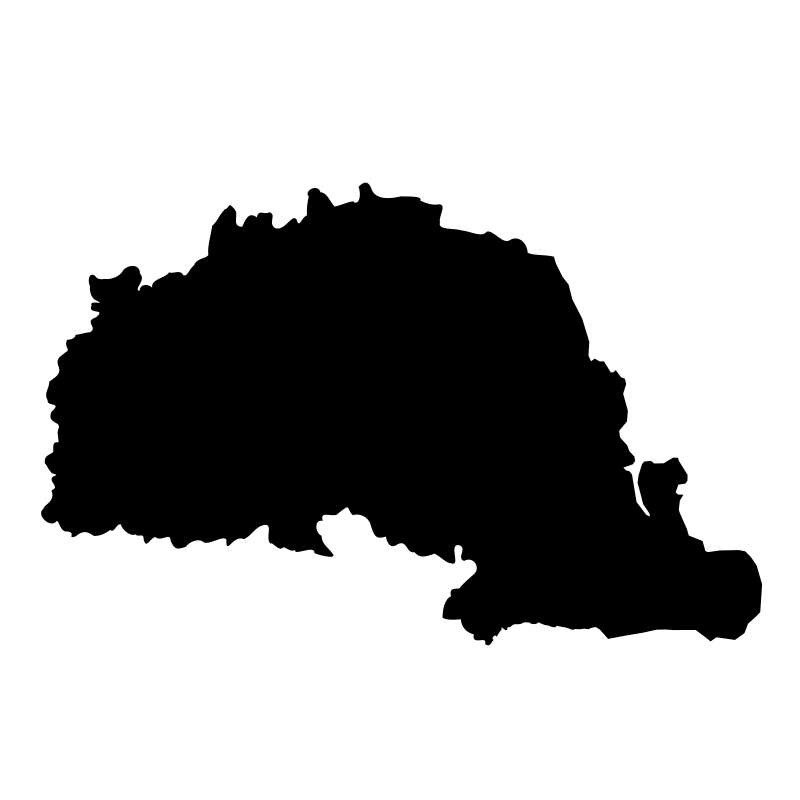
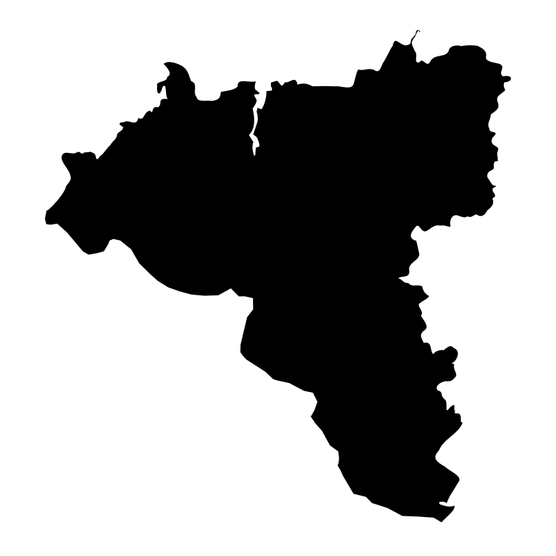
Counties Of Estonia15 icons
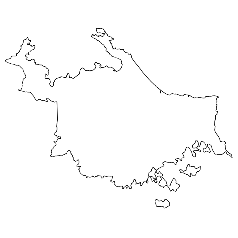
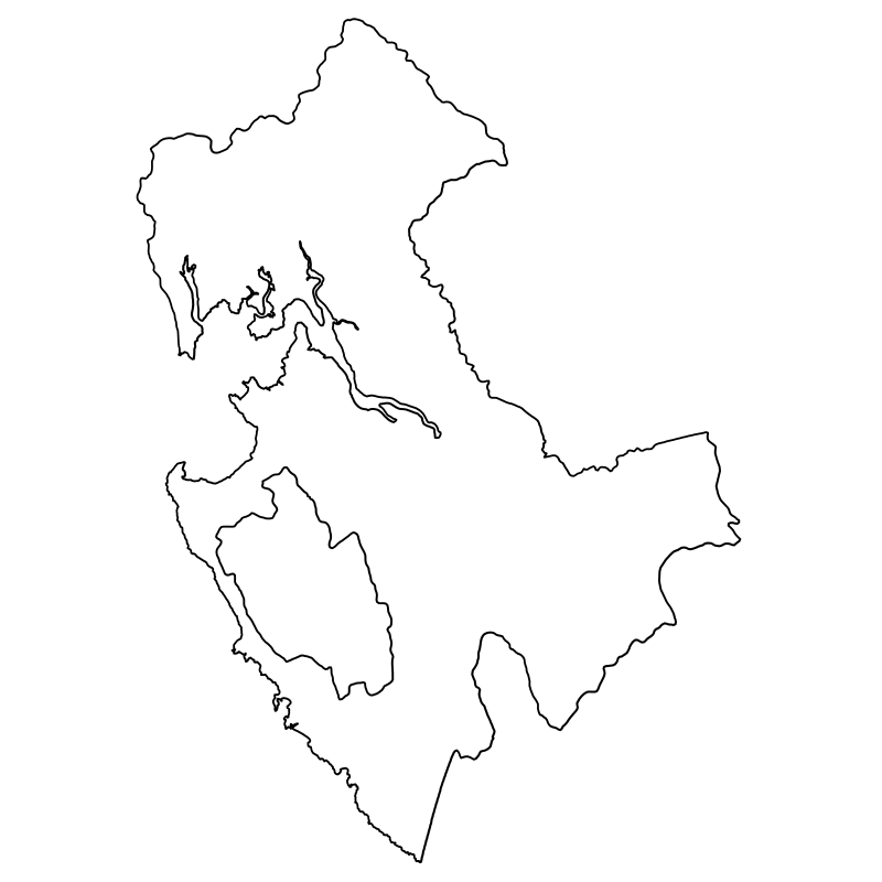
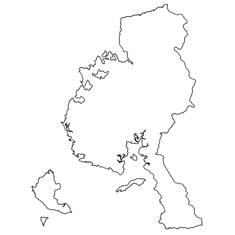
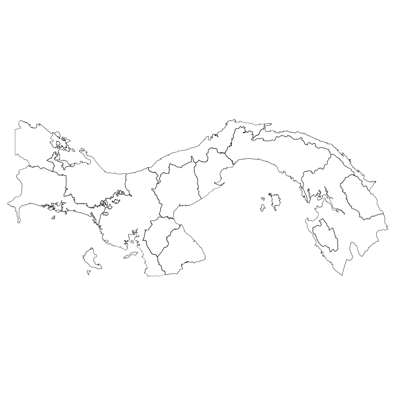
Central American Provinces14 icons
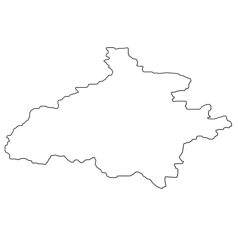
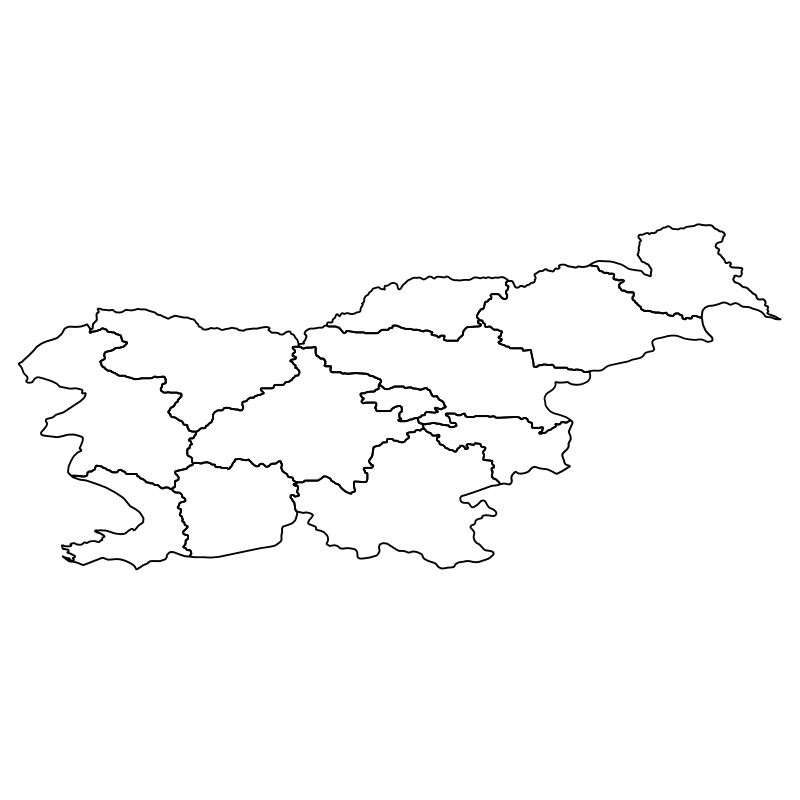
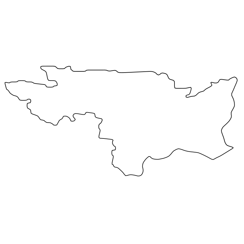
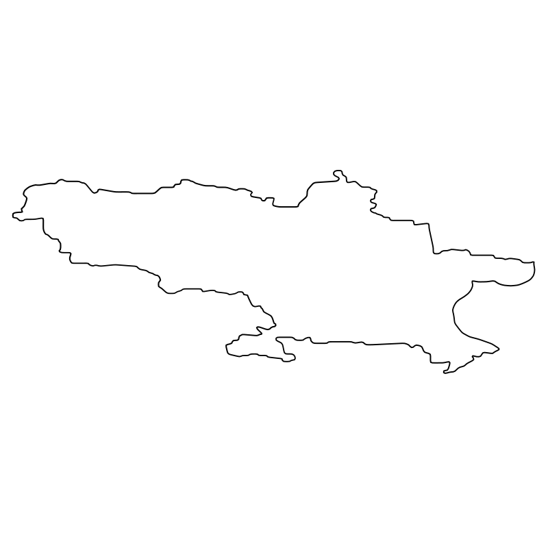
Slovenian Regions13 icons




London Landmarks The Architecture And History Of12 icons
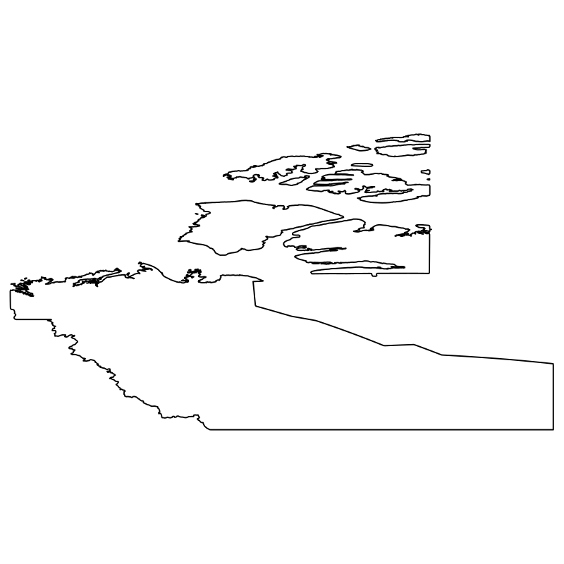
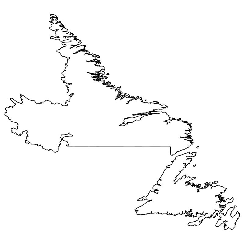
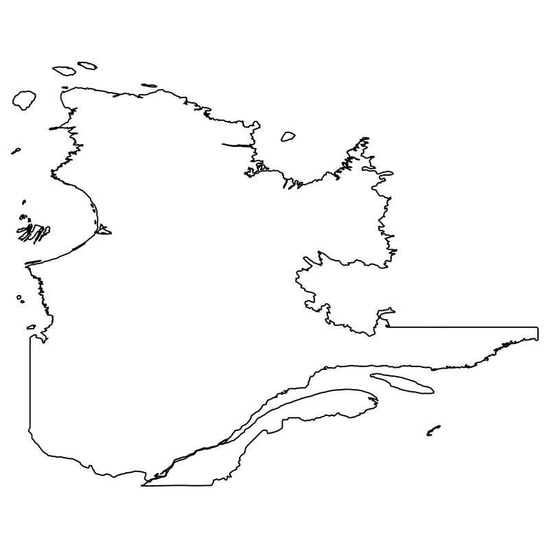
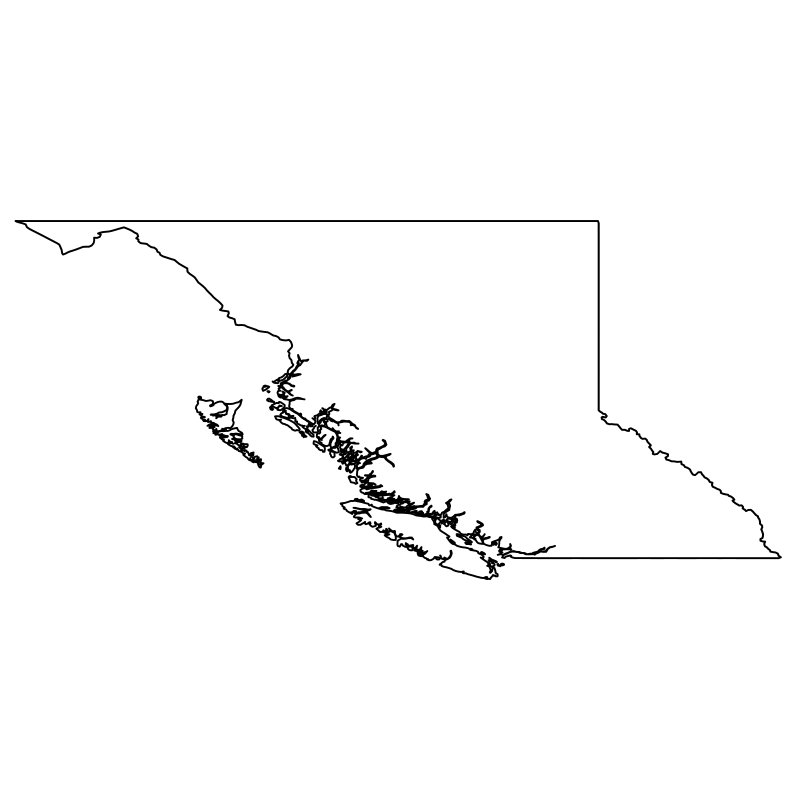
Atlantic Provinces And Territories12 icons
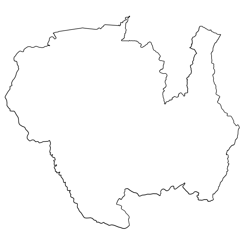
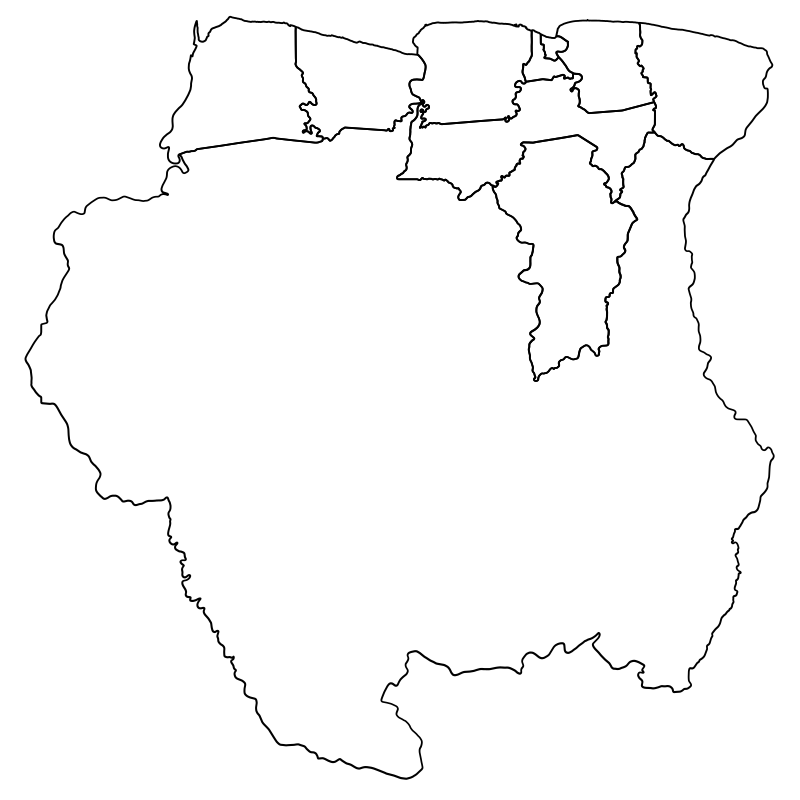
Suriname Districts North, East11 icons
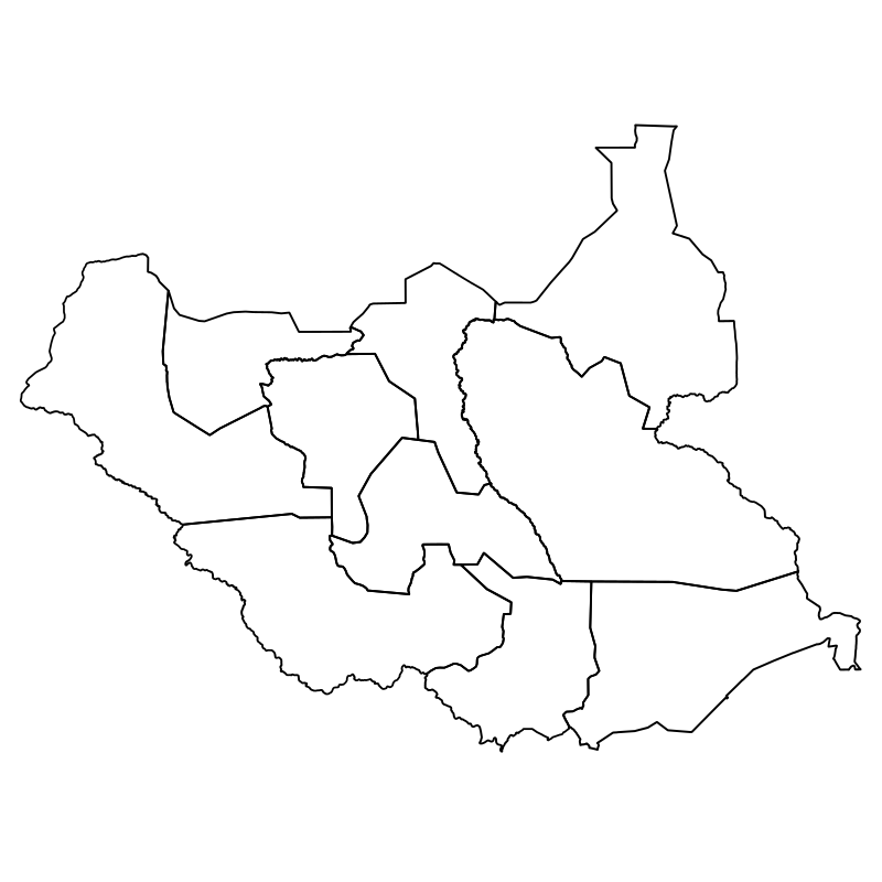
Southern Sudan States11 icons
Artist:Eliricon
License:CREATIVECOMMONS