
Travel & Tourism
Hungarian County Maps
Created by Alexander Skowalsky, this geographic vector set provides twenty clean, outline-style SVG icons depicting the distinct territorial boundaries of Hungary and its individual counties. The collection features simplified cartographic representations suitable for regional travel guides, educational platforms, and demographic data dashboards. These minimalist regional markers integrate seamlessly into modern web design and digital UI/UX projects focused on tourism, local administration, and European geography.
Icons in this Collection
Browse and download all 20 vector icons
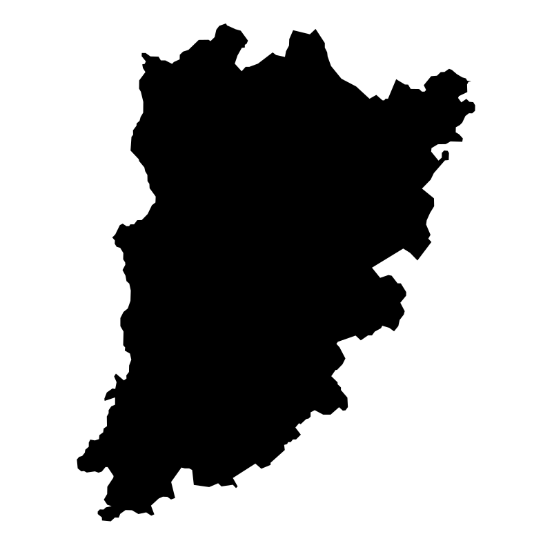
Bács-Kiskun
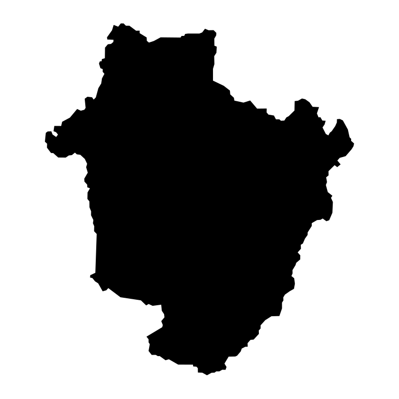
Bihar
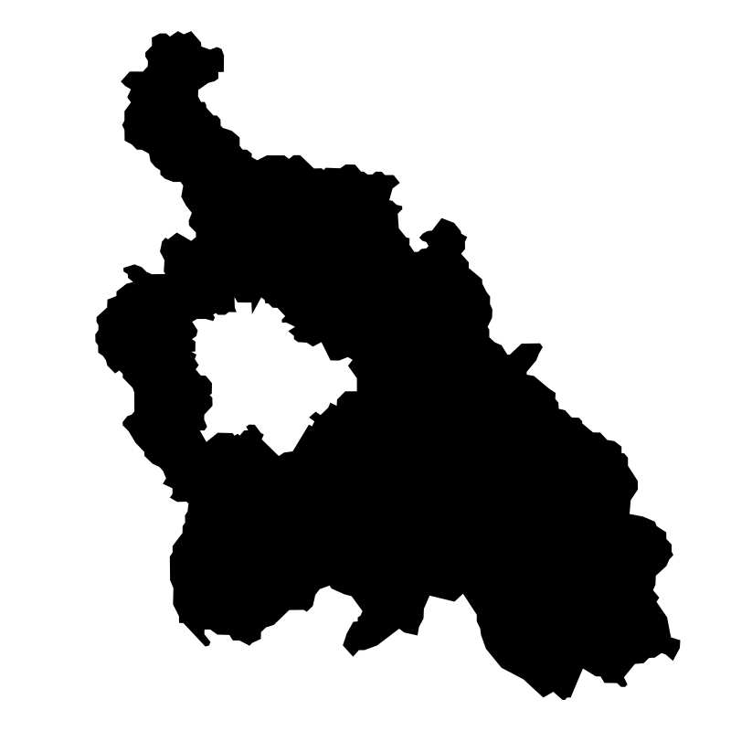
California
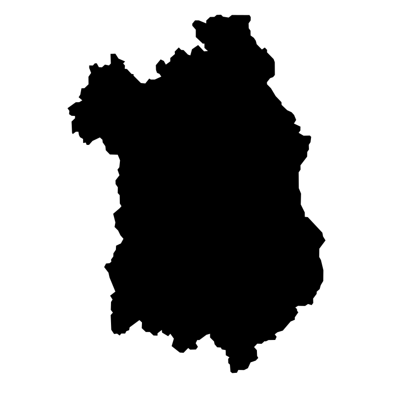
Hungary
Hungary
Hungary
Hungary
Hungary
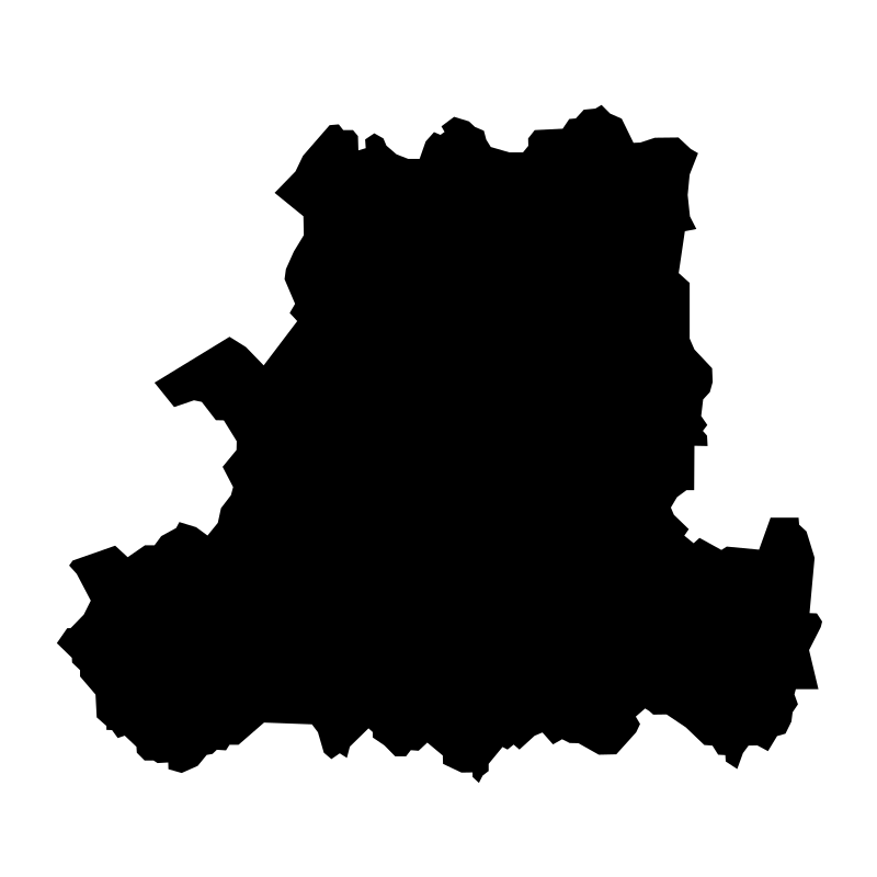
Hungary
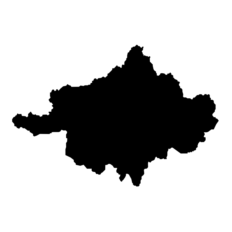
Hungary
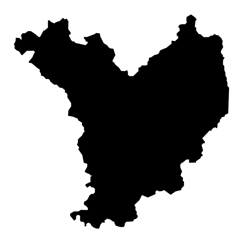
Hungary
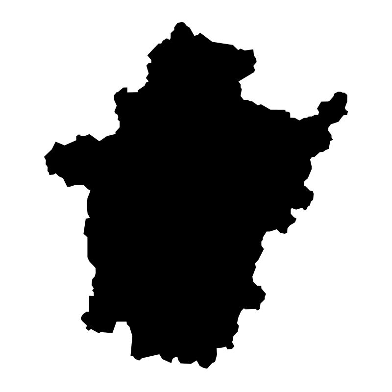
Hungary Bekes County
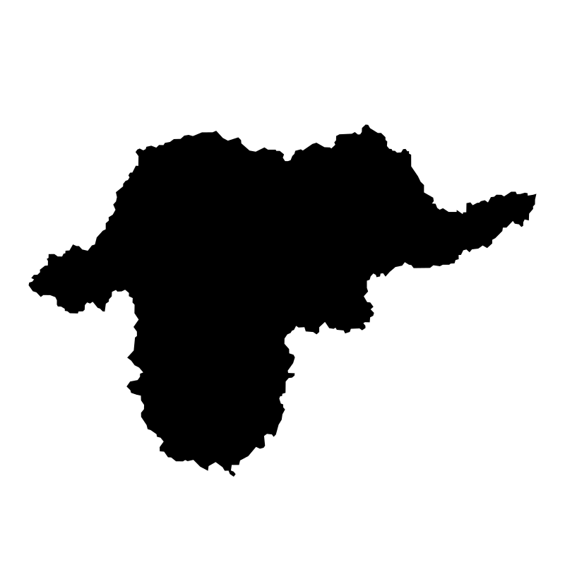
Hungary Borsod Abauj Zemplen County
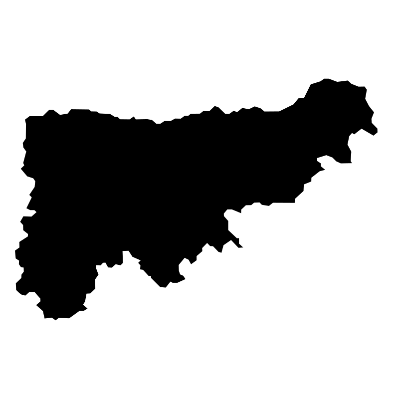
Hungary Komarom Esztergom
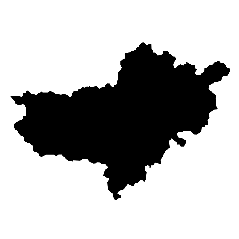
Hungary Nograd County
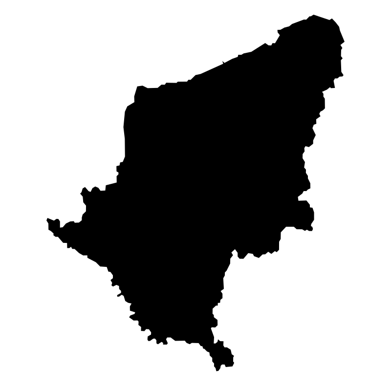
Hungary Somogy County Map Somogy County Travel S

Hungary Veszprem County
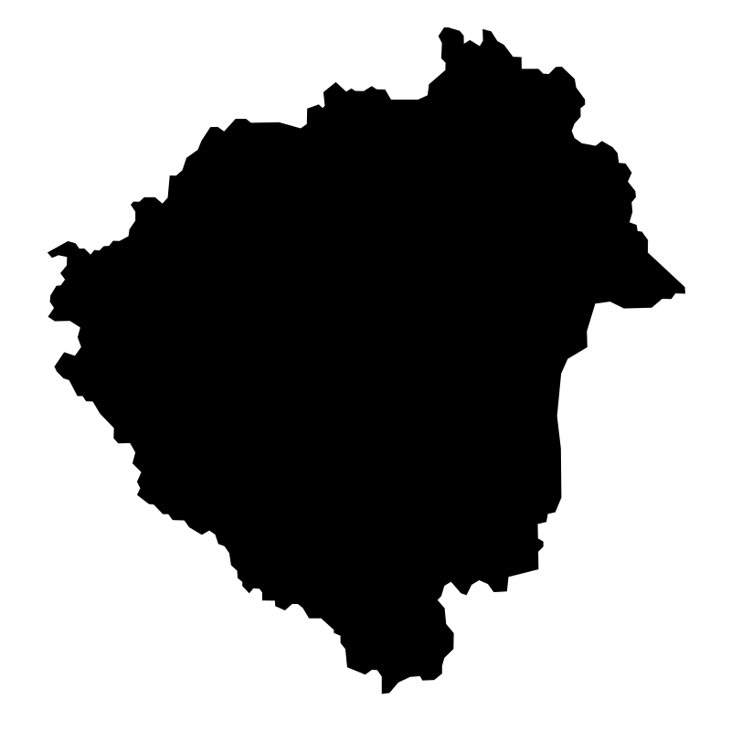
Hungary Zala County
Kansas
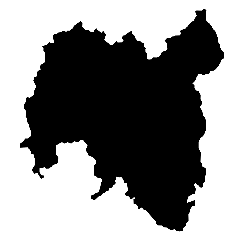
Missouri Tolna County
More Travel & Tourism Collections




Beach And Summer 002 Line20 icons




Alternative Vector Collection Name Icon Set For Land20 icons




Free Vacation Solid SVG Icon Set20 icons




Food And Travel Icons for Web & UI Design20 icons




Jump Adventure20 icons
Costa Rica Maps20 icons




Summer Travel Symbols20 icons




Travel And Vacation Ideas20 icons



Bali Island Map20 icons




Beachys Vectors20 icons




Icon Tower20 icons




Vectors Of Good Life20 icons
Artist:Alexander Skowalsky
License:CREATIVECOMMONS