
World History
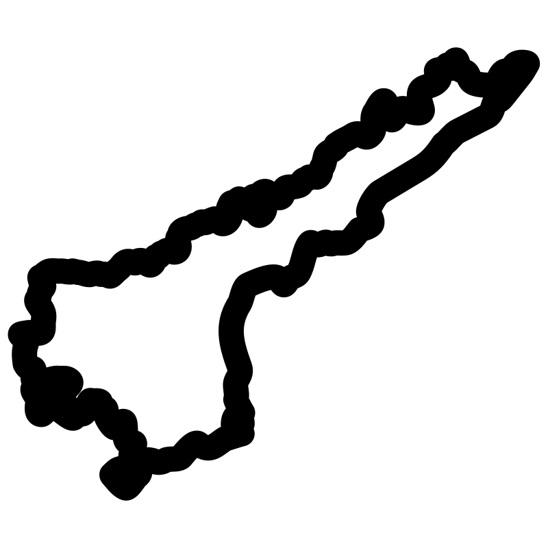
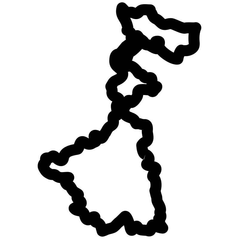
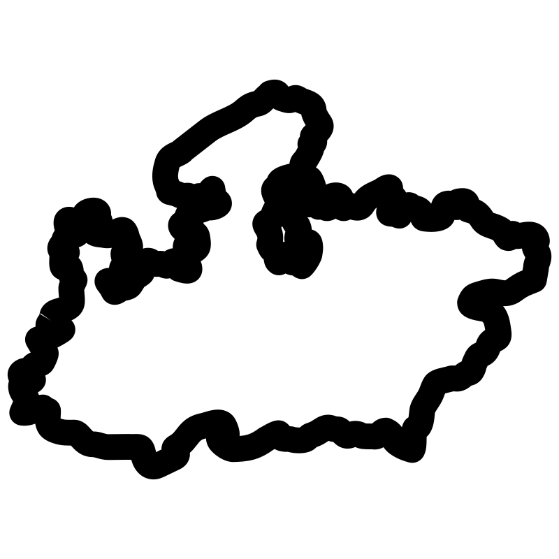
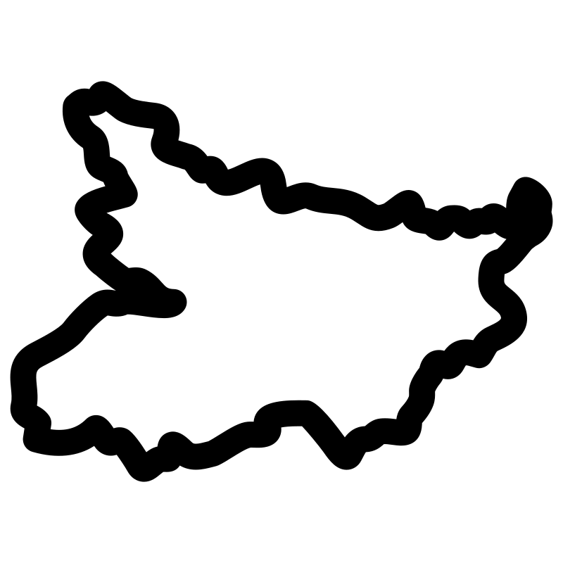
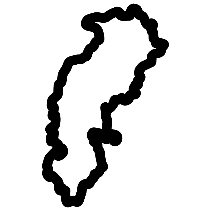
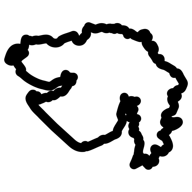
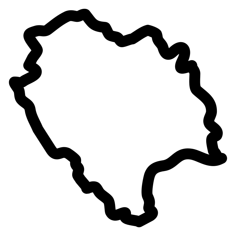
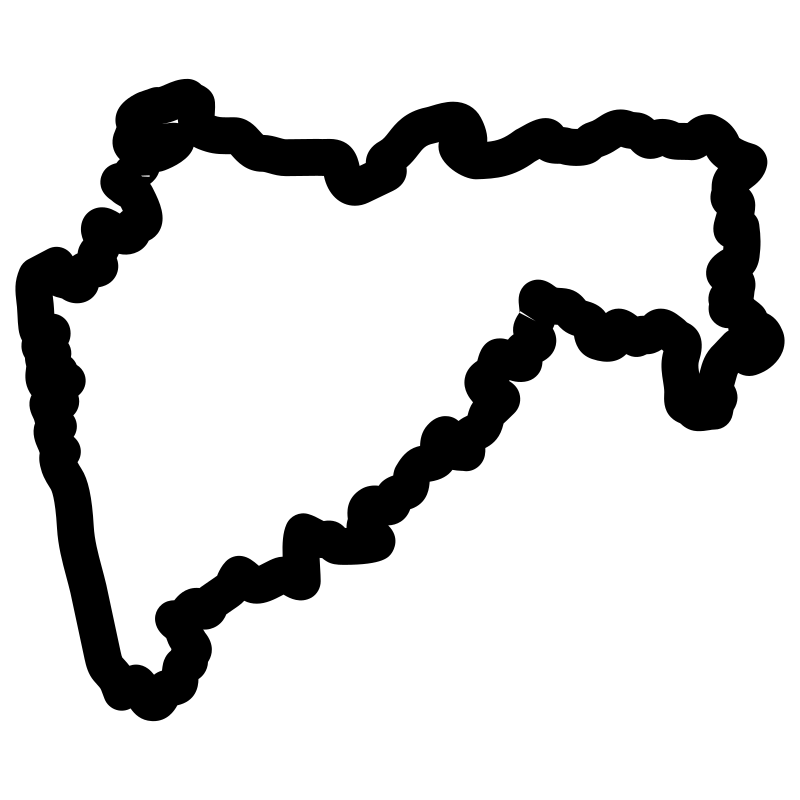
India State Maps With Outlines
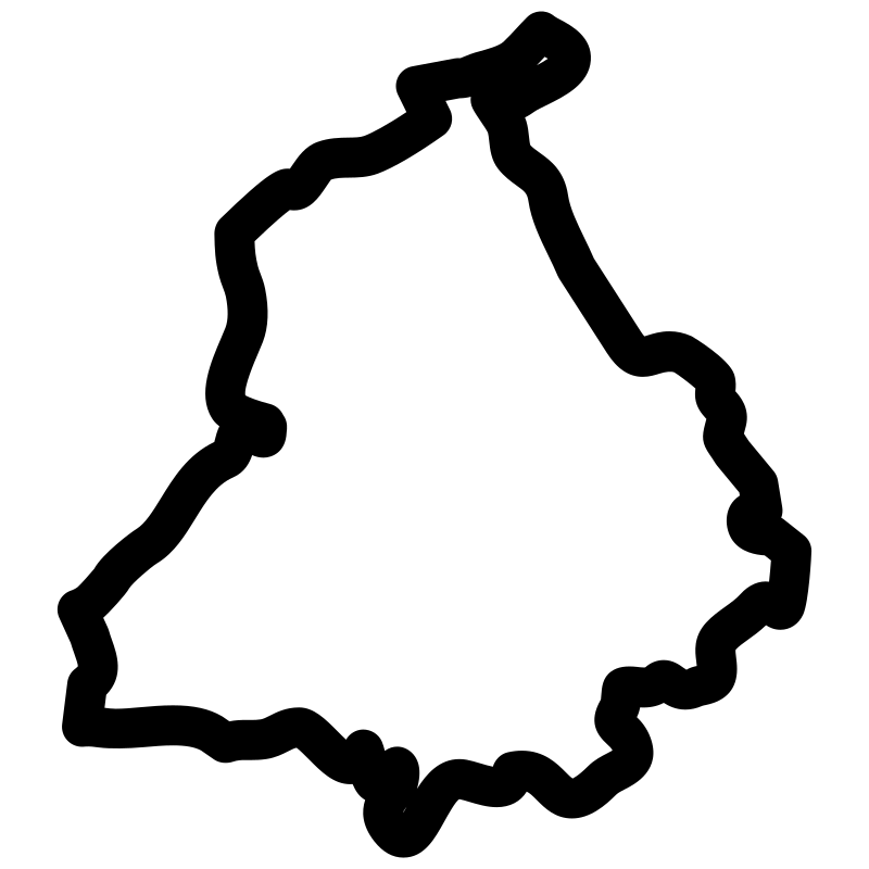
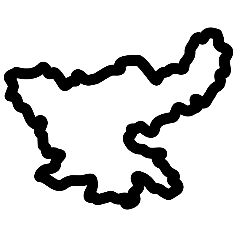
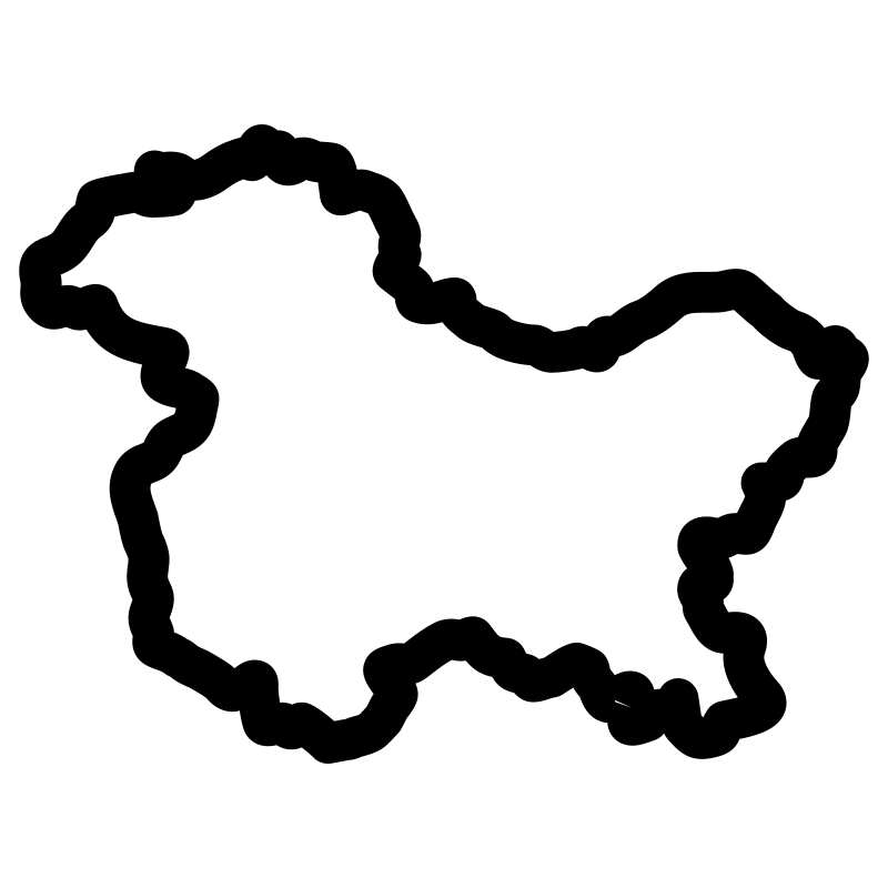
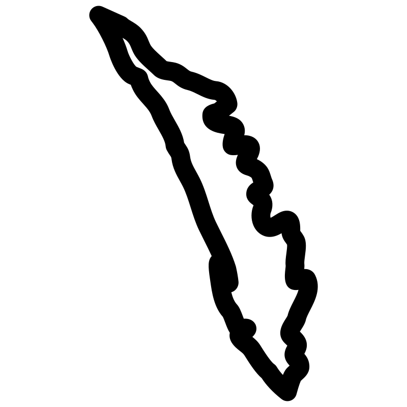
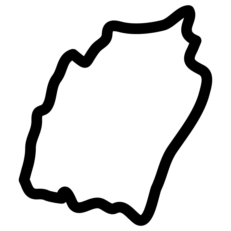
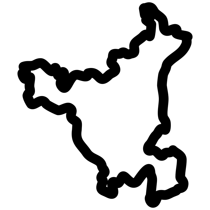
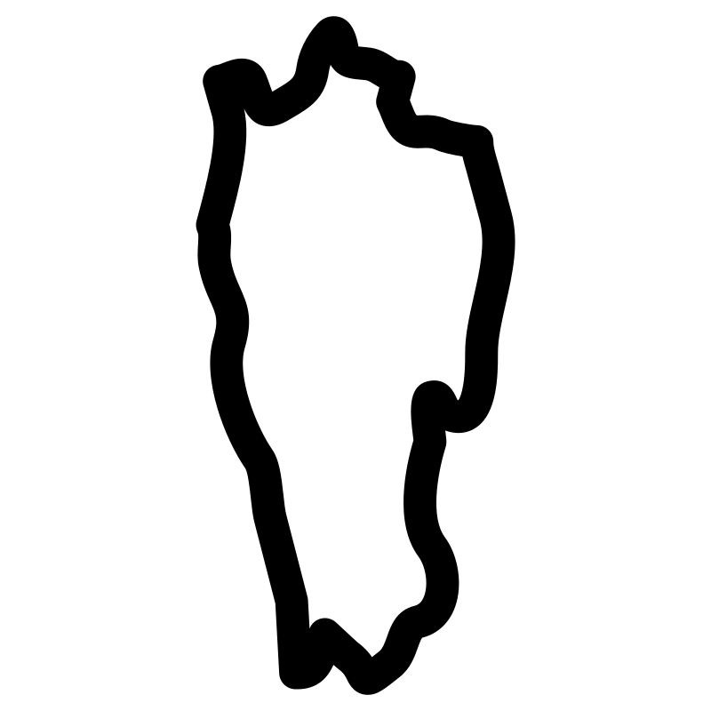
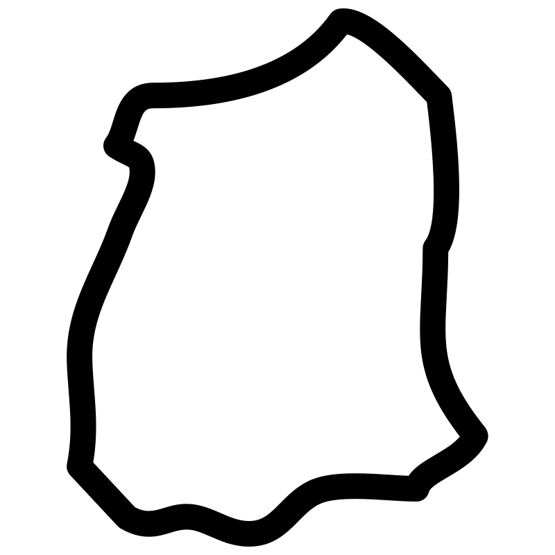
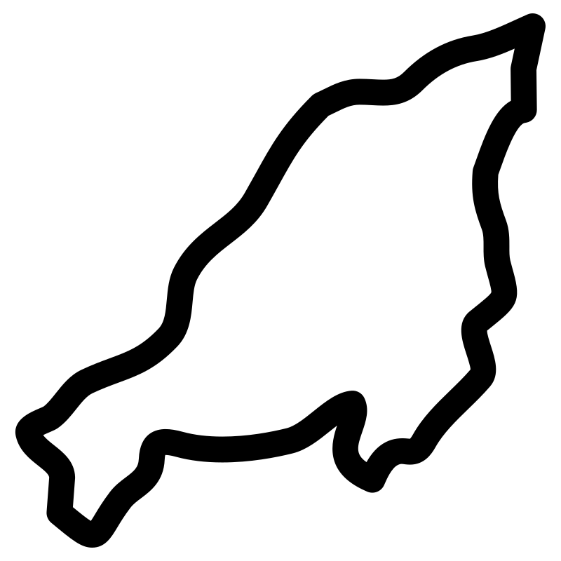
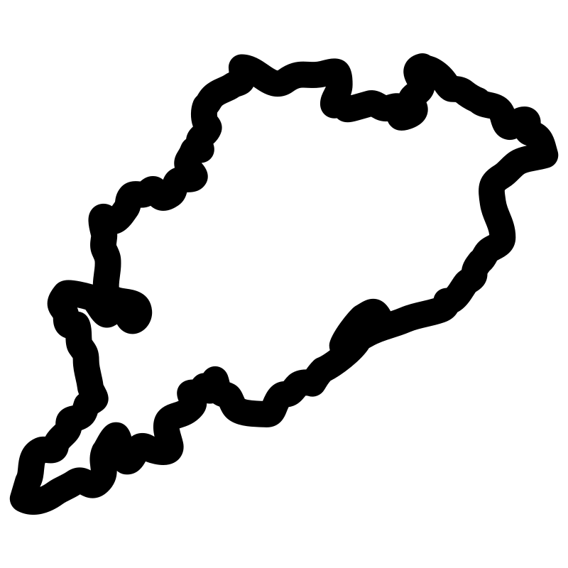
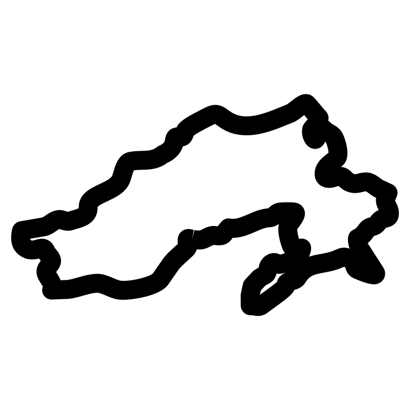
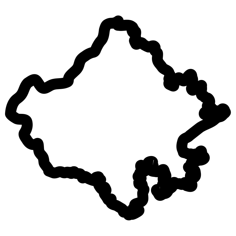
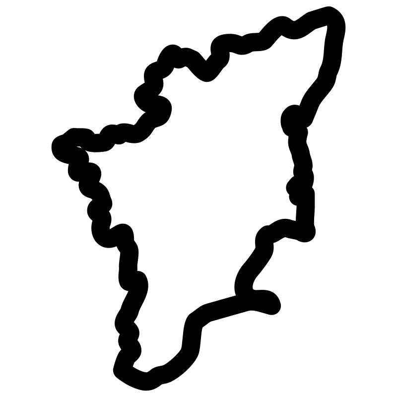
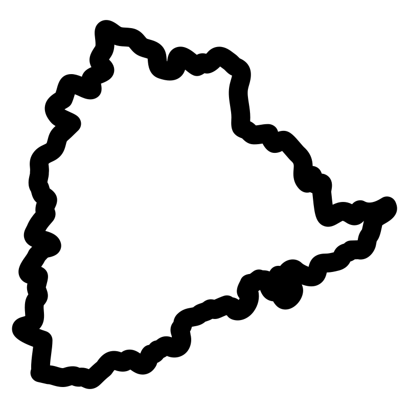
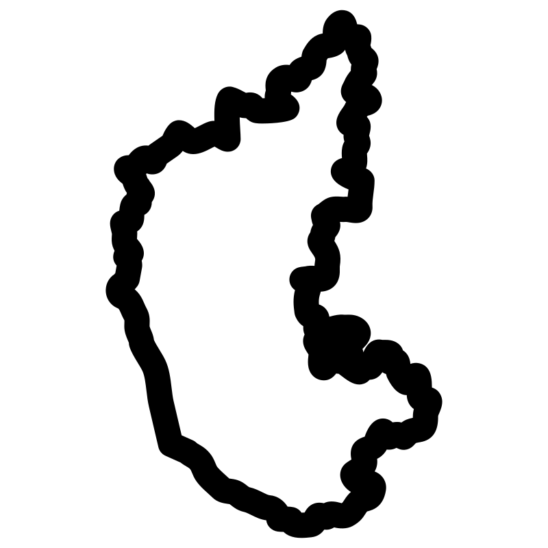
Geographic reference materials depicting the political boundaries of various Indian states and territories comprise this historical cartography set. Designed with clean vector outlines and precise geographical shapes, these SVG icons represent distinct regional landmarks, capitals, and state layouts. The collection serves educational platforms, historical archives, digital mapping tools, and regional analysis dashboards. Researchers, developers, and educators utilize these vector assets for presentations, web design, and digital projects focused on Indian geography and administration.
Icons in this Collection
Browse and download all 27 vector icons

More World History Collections
Africa Maps Ii27 icons
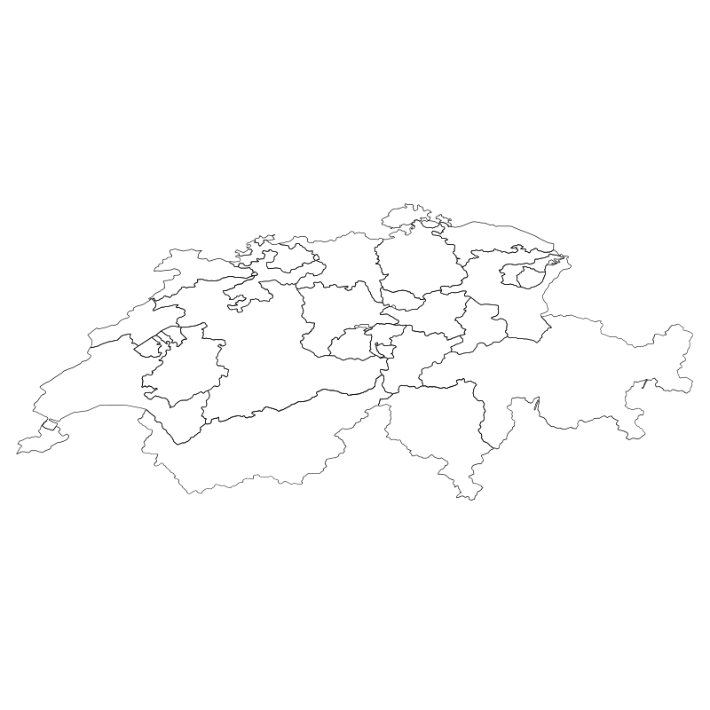
Switzerland Cantons The Unofficial27 icons
South America Regions26 icons
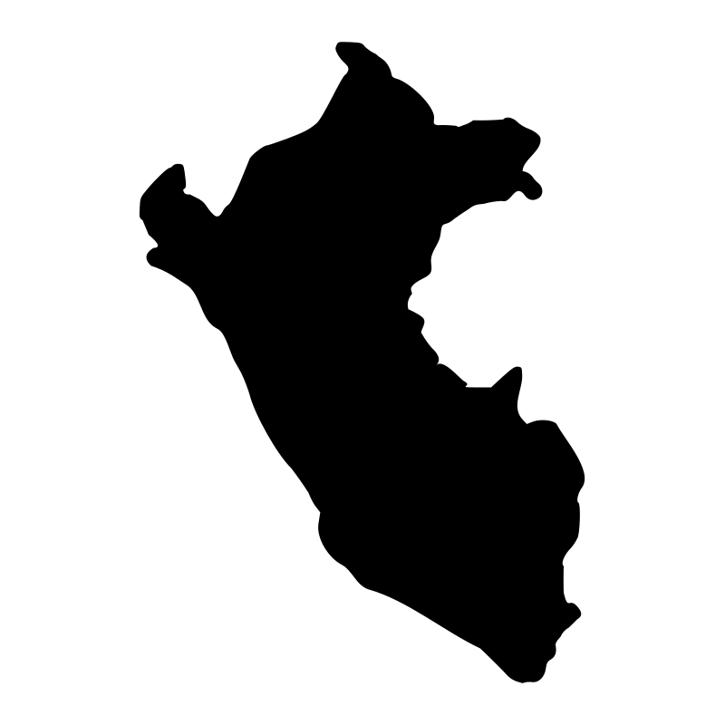
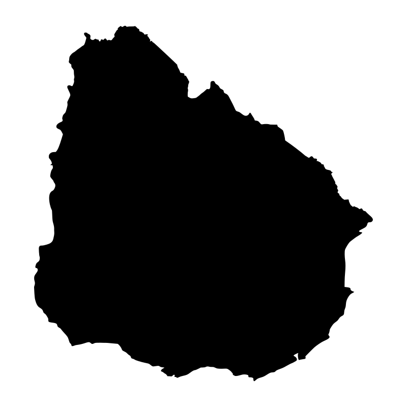
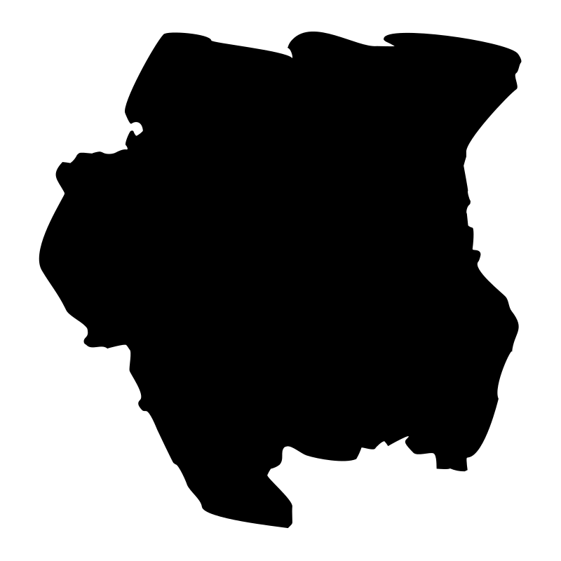
South America Countries The Countries Of South24 icons
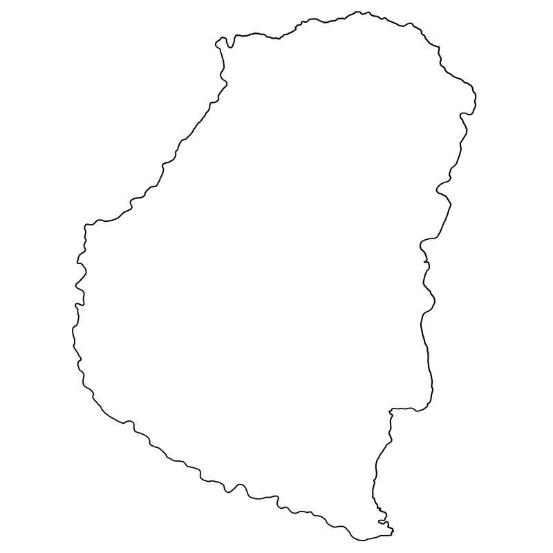
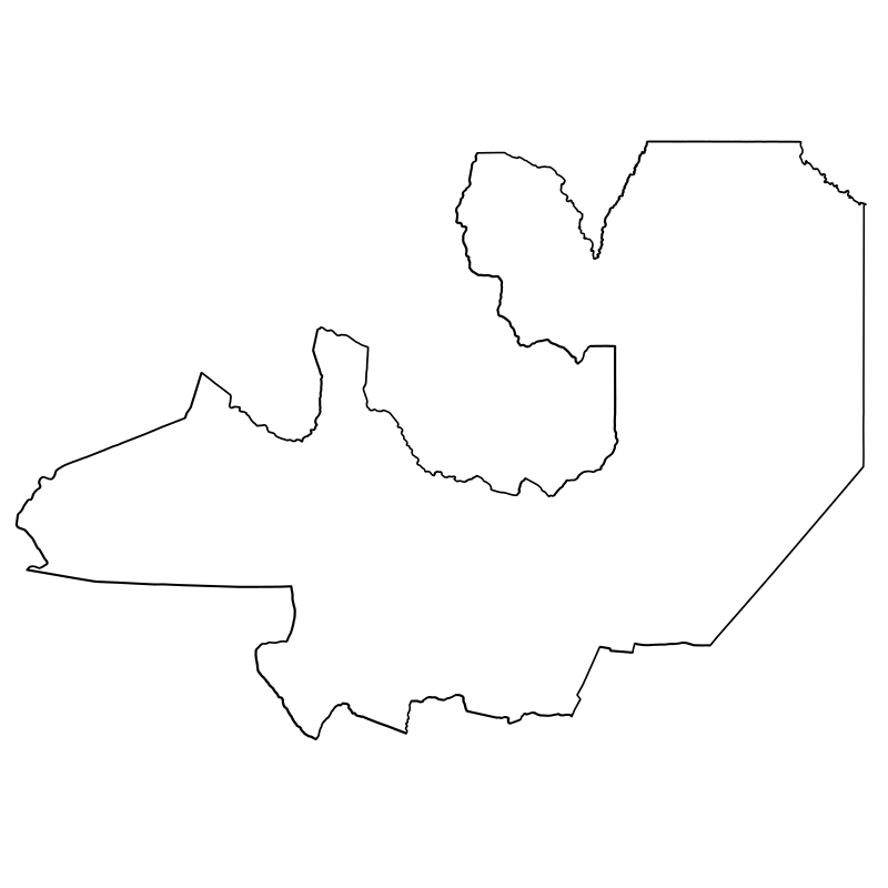
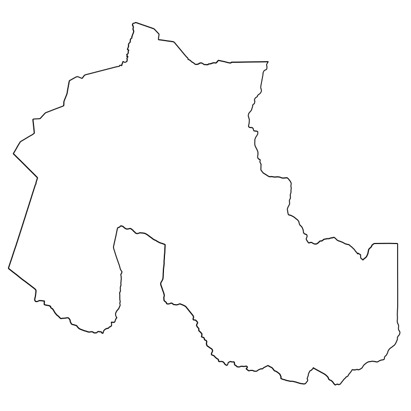
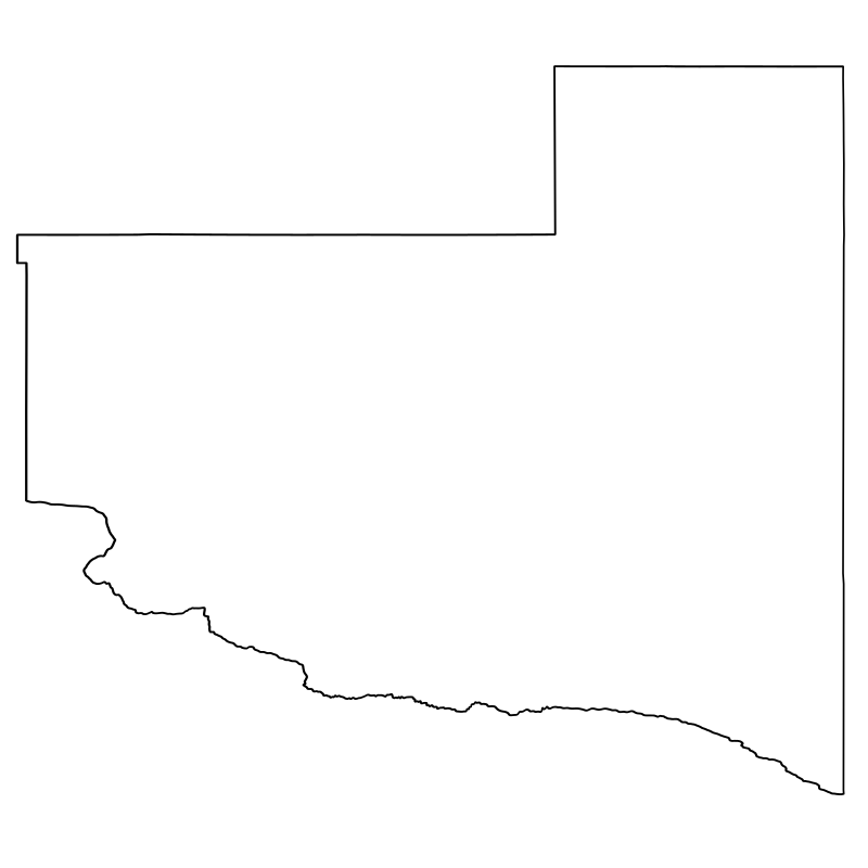
Argentina Provinces Ii24 icons


Images Of The United States23 icons




Cards Of The World22 icons
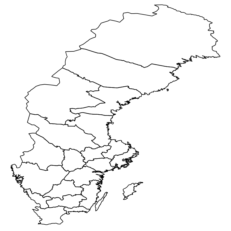

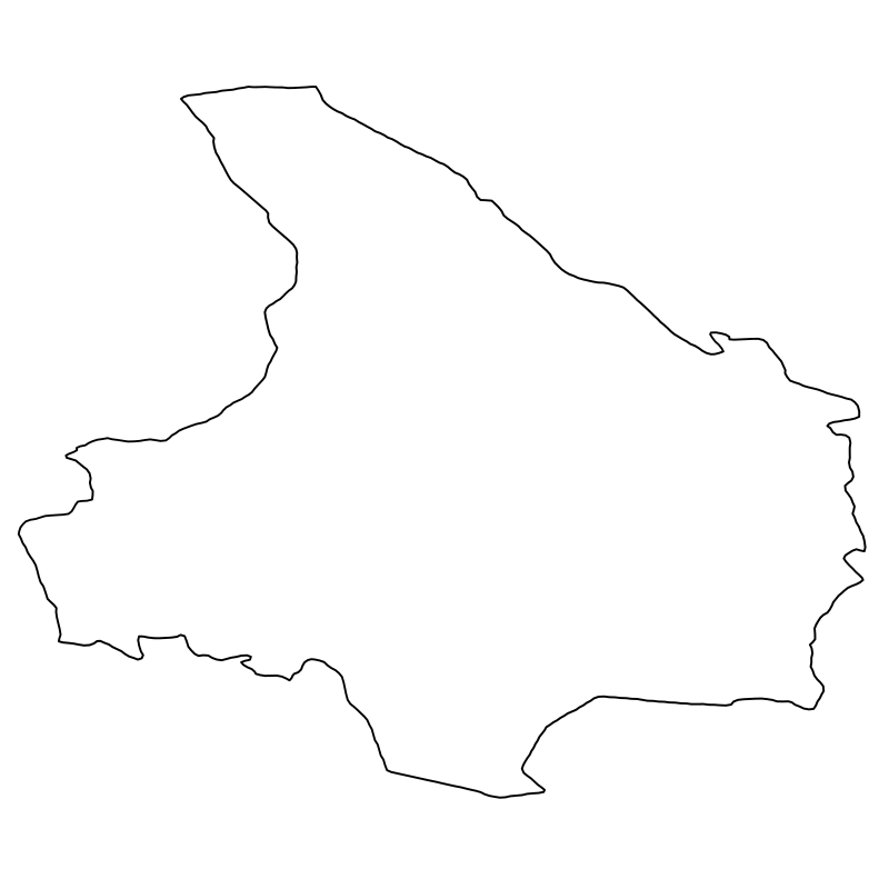
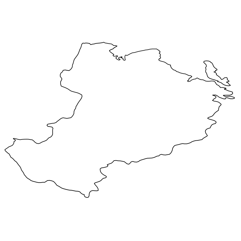
Sweden County Vector Art22 icons




Around The World In 80 Vector Illustrations21 icons




Germany Glyph Collection21 icons


Swedish Counties21 icons




Gallery Of World Vector Images21 icons
Artist:Mohamed Mb
License:CREATIVECOMMONS