
Maps & Navigation
Map Of Colombia Vectors
Geographic vector illustrations and regional map outlines depict the topography, political borders, and historical cartography of South America. The set features clean, scalable SVG icons rendered in distinct outline and solid styles to ensure clear visual hierarchy. Designers can integrate these cartographic assets into travel portals, educational platforms, geography dashboards, and tourism projects. Regional planners, educators, and content creators utilize these visual elements for digital presentations, web layouts, and analytical publications focused on Colombian geography.
Icons in this Collection
Browse and download all 24 vector icons
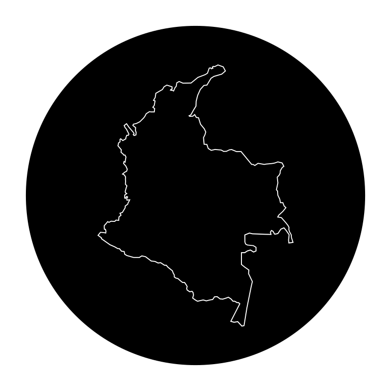
colombia map
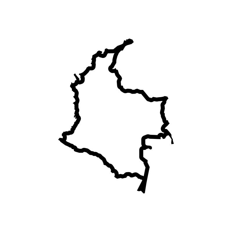
colombia map
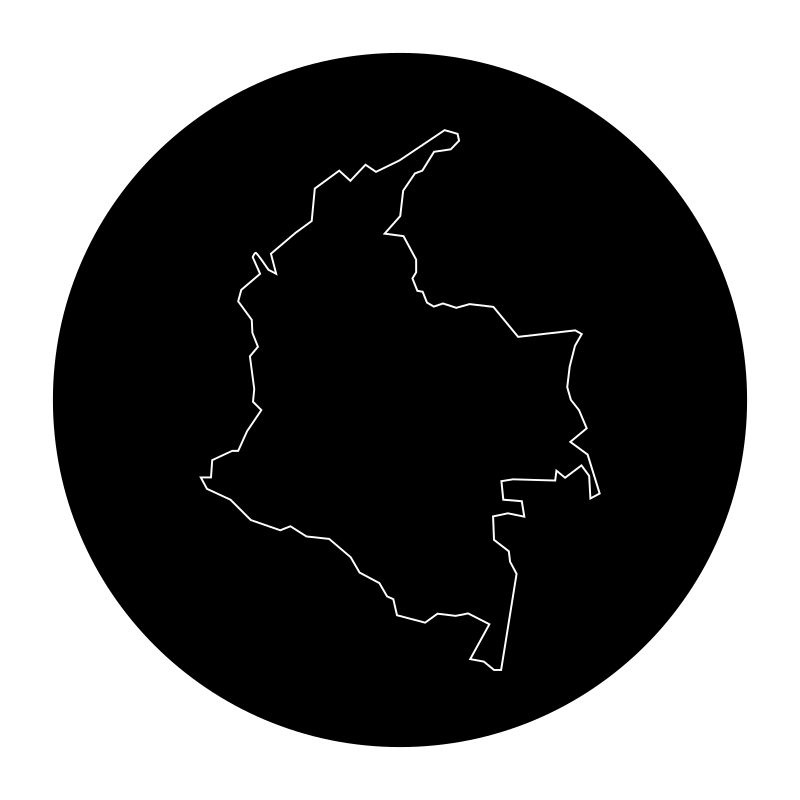
colombia map
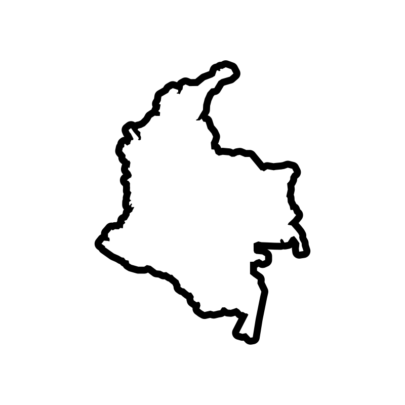
Colombia map
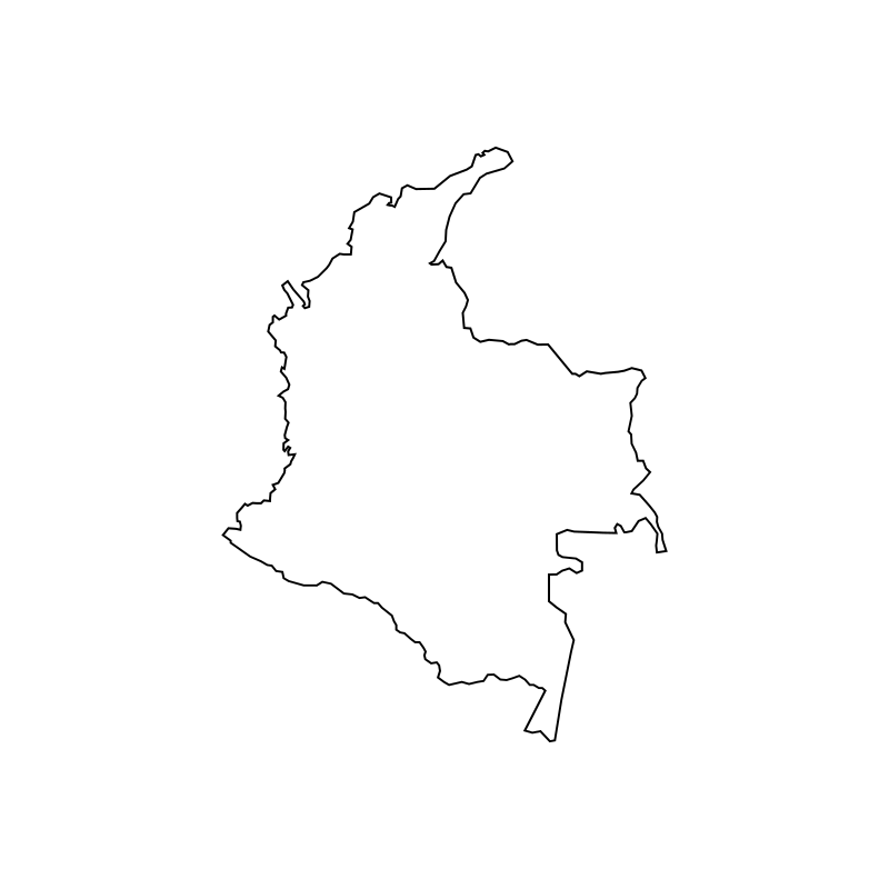
Colombia map
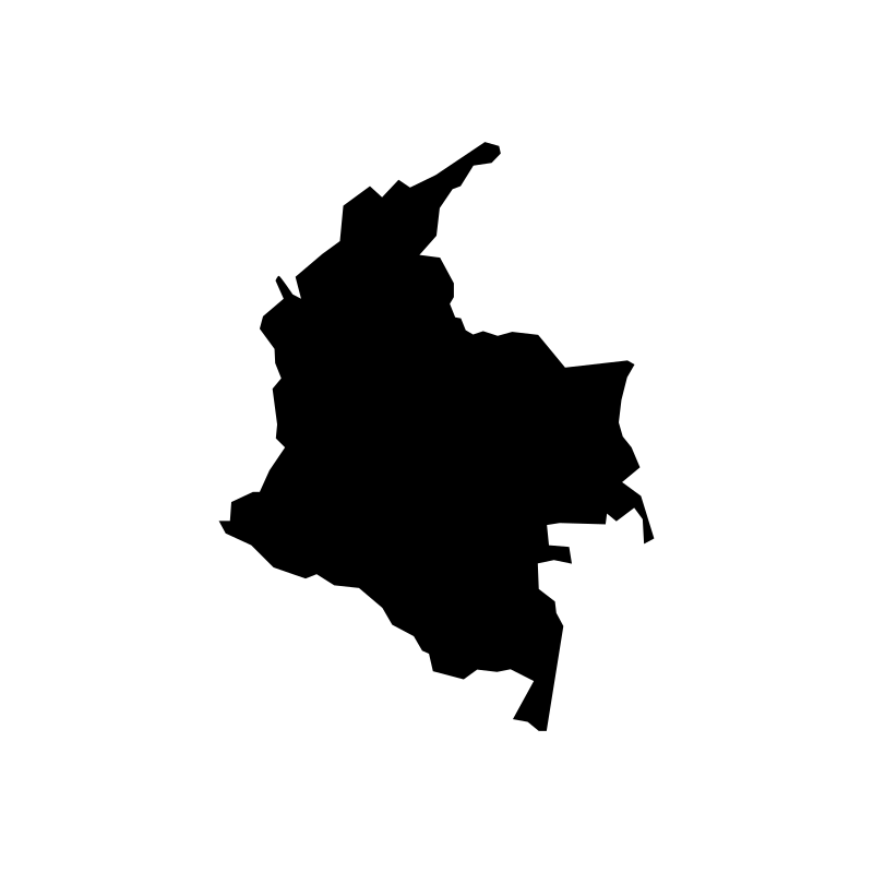
Colombia map
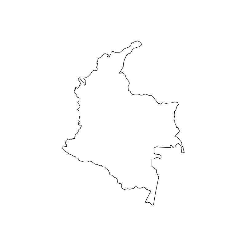
map of colombia
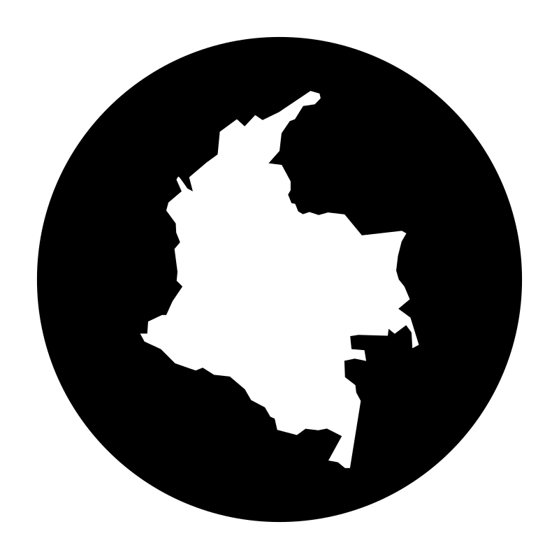
map of colombia
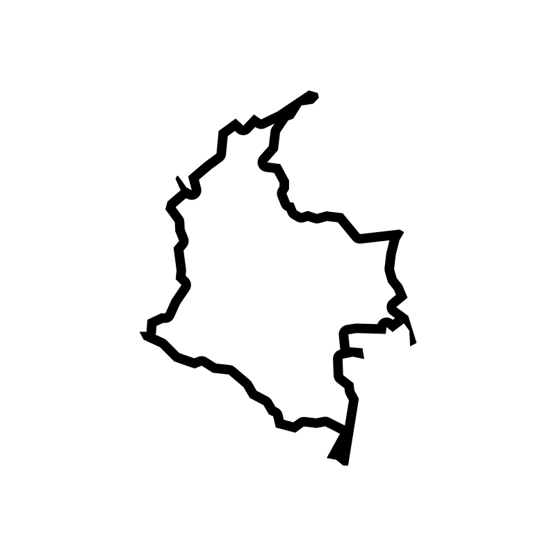
map of colombia
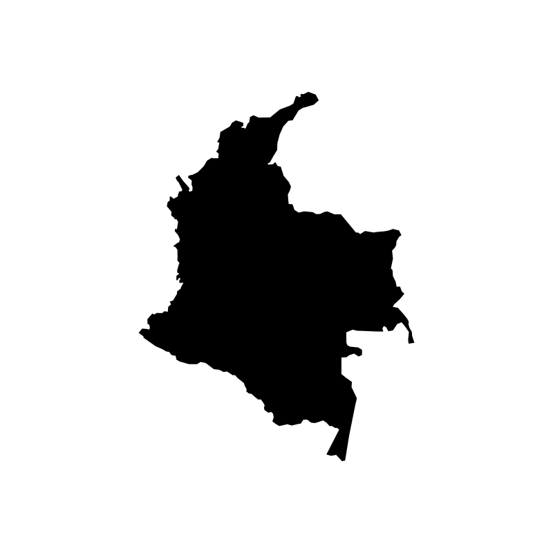
map of colombia
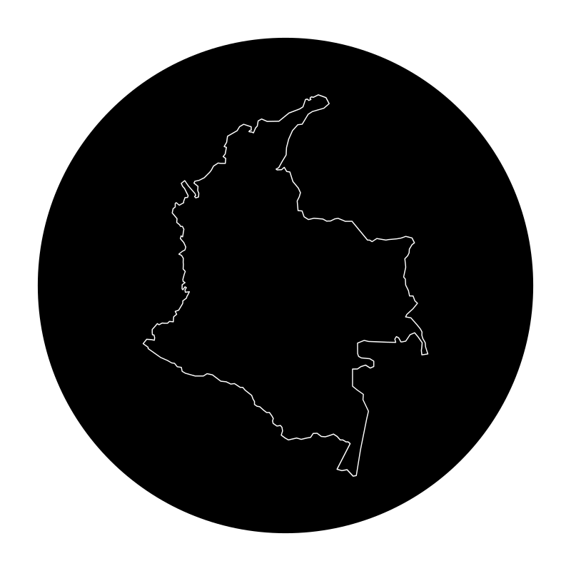
map of Colombia 2014
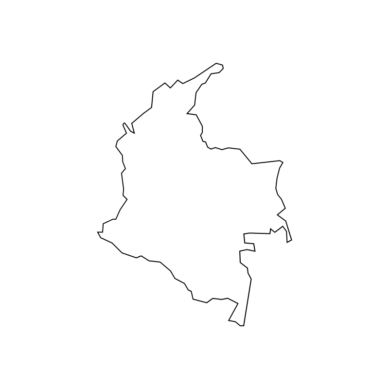
map of Colombia 2014
map of Colombia 2014
map of Colombia 2014
map of colombia 2016
map of Colombia 2017
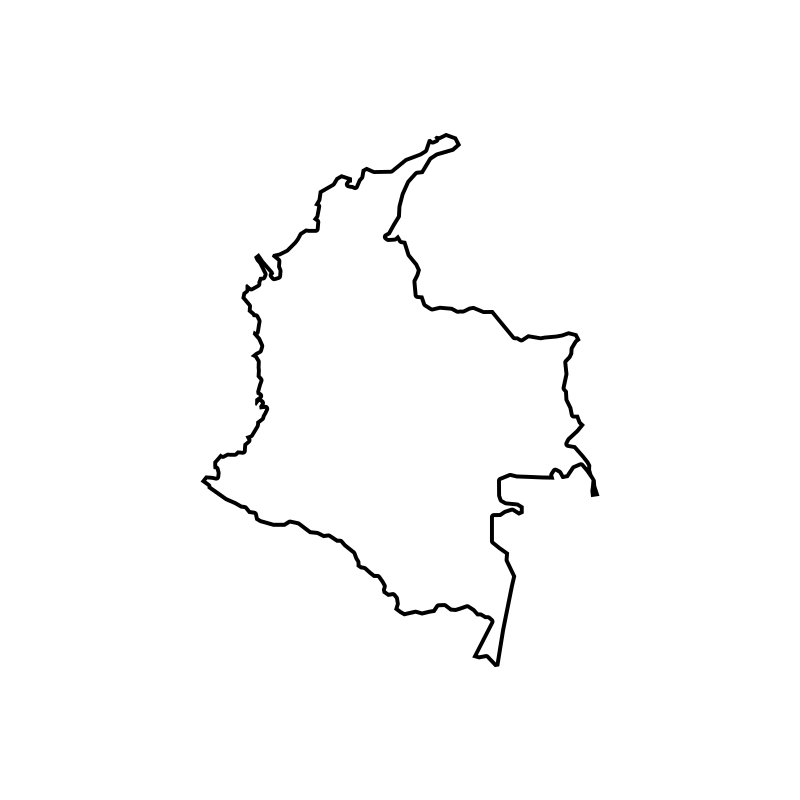
map of Colombia Colombia
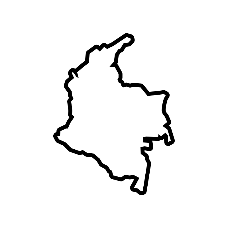
map of Colombia mountains
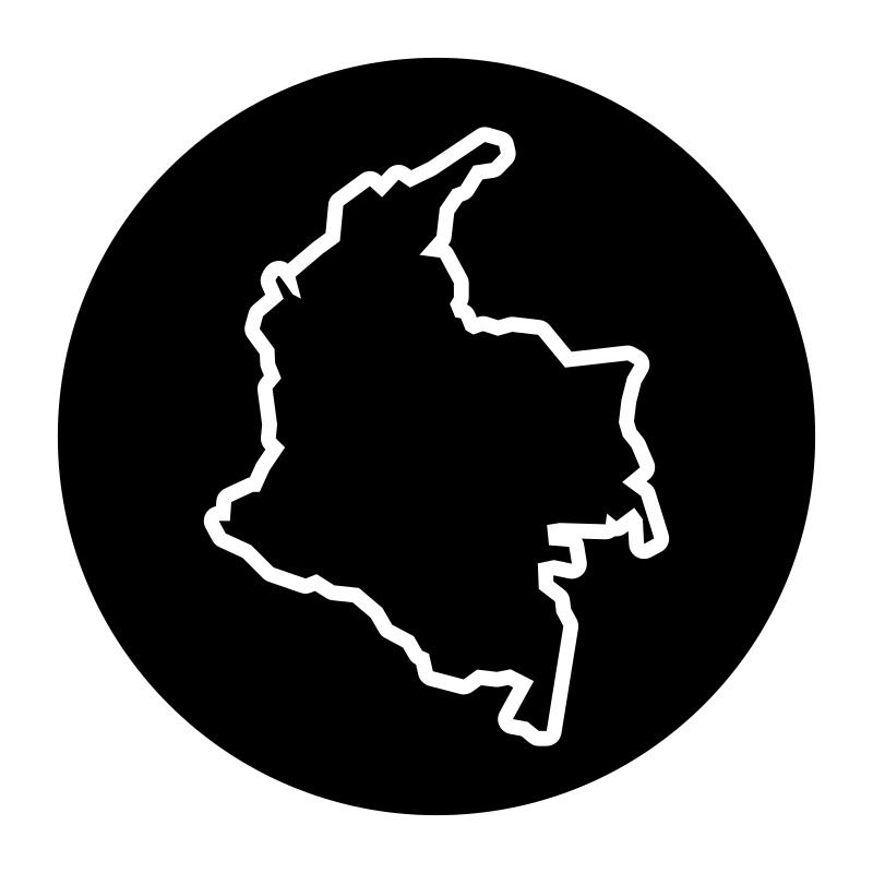
map of South America
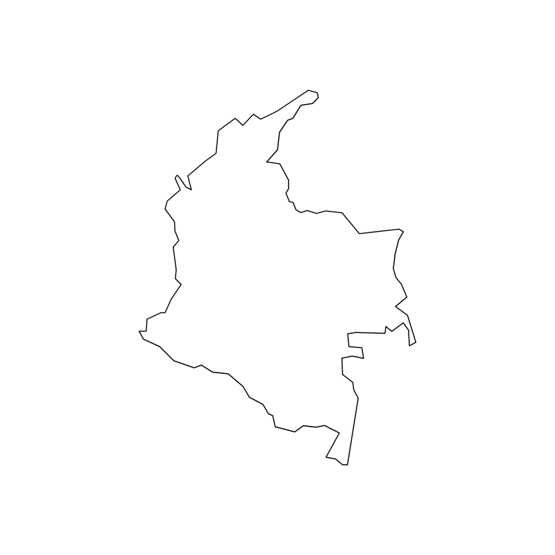
map of the colombian jungles
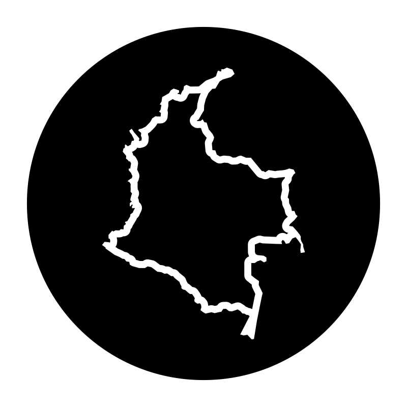
map of the colombian republic
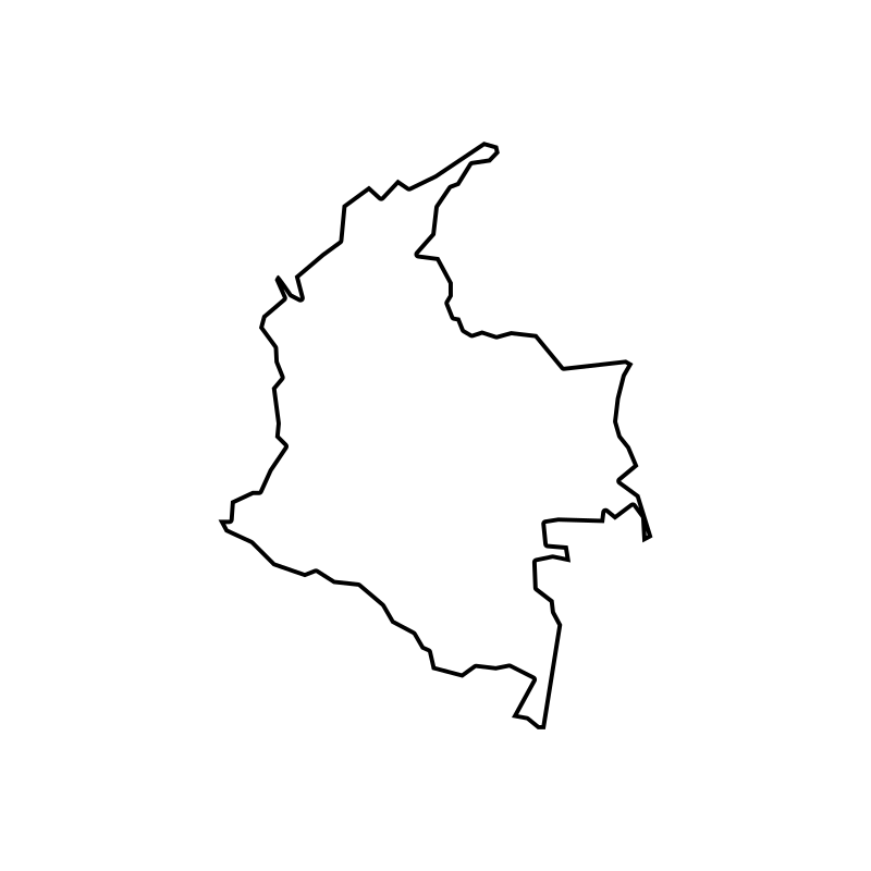
map of the colombian republic
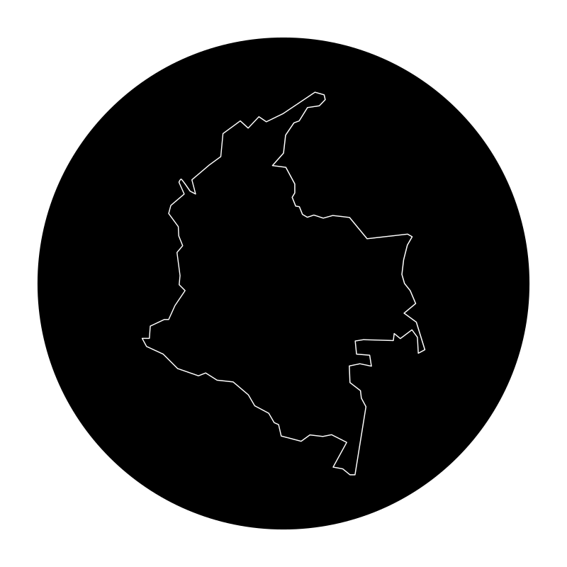
map of the colombian republic
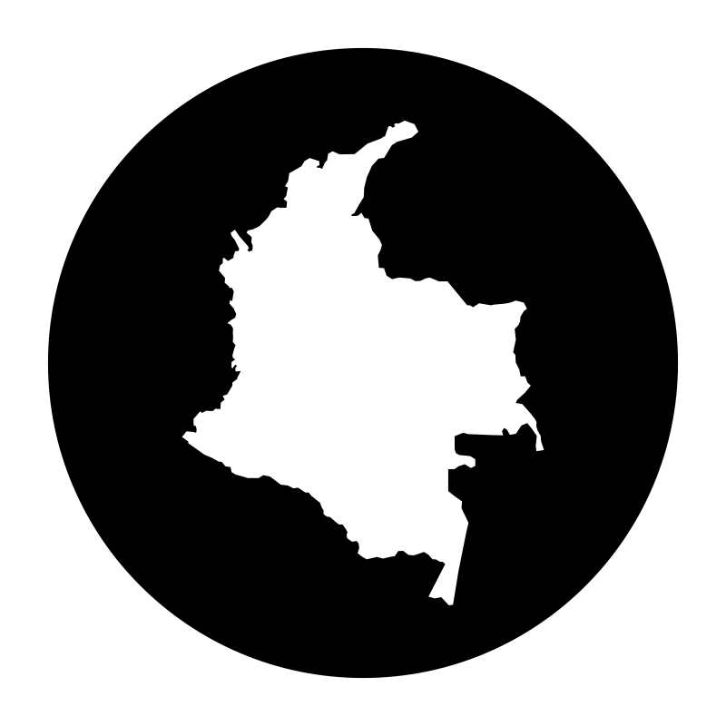
map of the country
More Maps & Navigation Collections

Navigation And Maps Lines23 icons




Line Map SVG Icons22 icons
Mapa The Worlds Largest Map22 icons




Maps And Navigation Icons Set22 icons
Taiwan Atlas22 icons




Maps Of Locations21 icons



Adventure Thin21 icons




Graphic Design For The Travel And Tourism Industry21 icons




Orienteering With Maps20 icons

Maps Of Spain A Collection Of Vector Maps20 icons




Map Place Location Geography20 icons




Map Direction Fold20 icons
Artist:Rahe
License:CREATIVECOMMONS