
Maps & Navigation
Venezuela Maps With Cities And Roads
Geographic vector assets featuring detailed regional outlines, major urban centers, and primary road networks provide essential cartographic resources for digital projects. This specialized set of Venezuela maps includes clean contour lines, regional boundaries, and topographical overviews designed for clear visual communication. Designers frequently utilize these scalable SVG icons within web design, travel applications, logistics dashboards, and educational presentations. The collection serves professionals in geography, transportation, tourism, and regional planning who require accurate territorial graphics.
Icons in this Collection
Browse and download all 30 vector icons
Venezuela geography
Venezuela geography
Venezuela land

Venezuela map 2016
Venezuela map 2016
Venezuela map 2018
Venezuela map contour
Venezuela map pdf
Venezuela map pdf
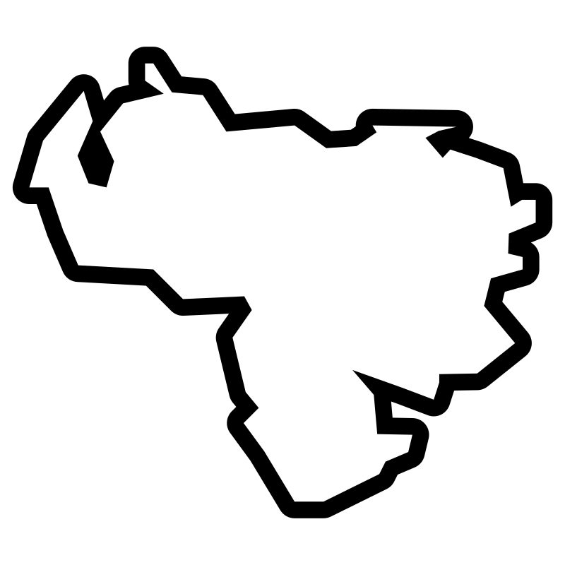
Venezuela map pdf
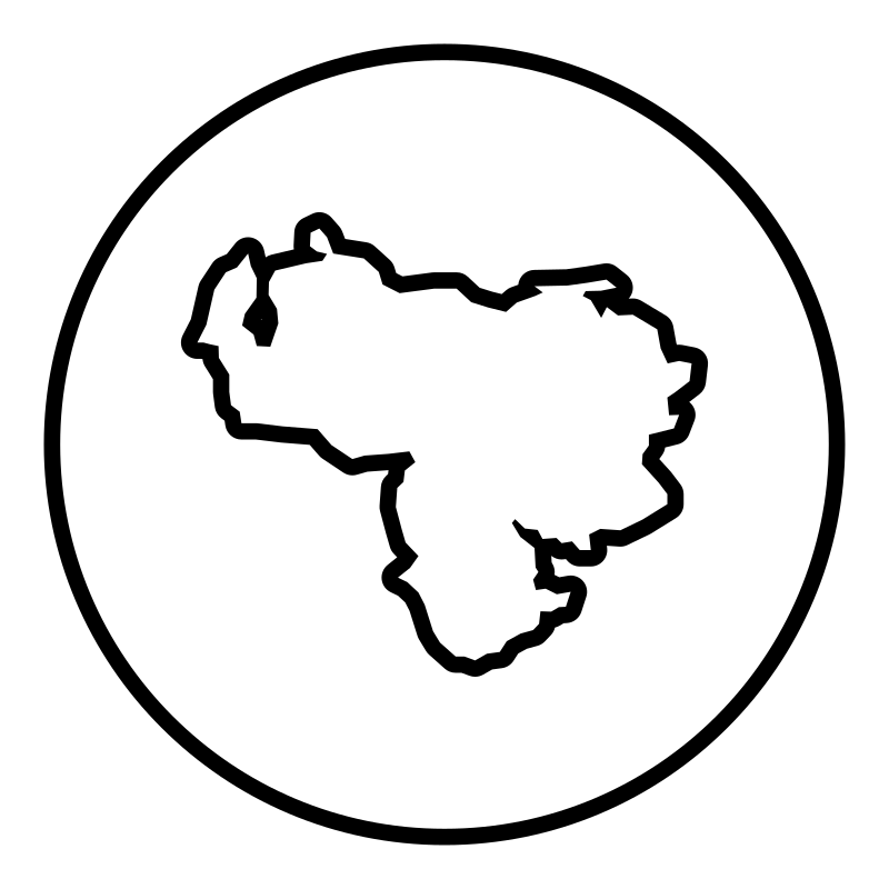
Venezuela map pdf
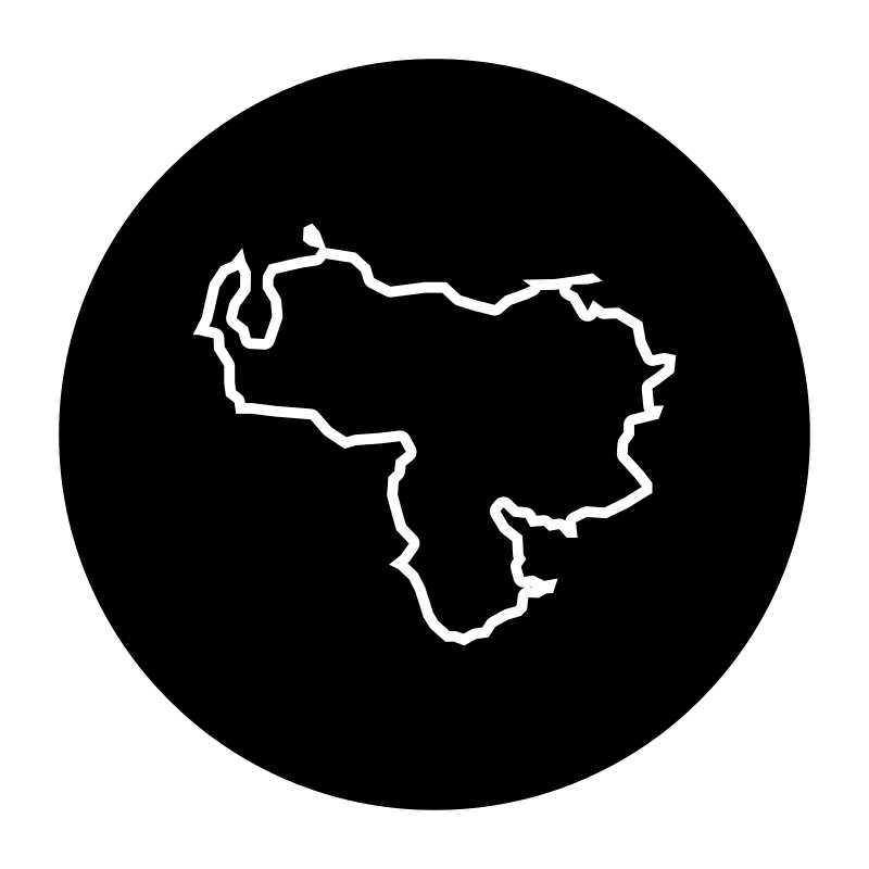
Venezuela map pdf
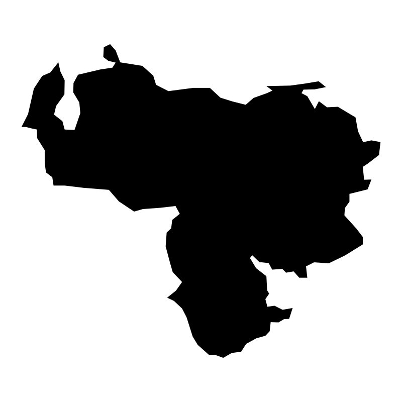
Venezuela map pdf
Venezuela map pdf
Venezuela map pdf
Venezuela map pdf
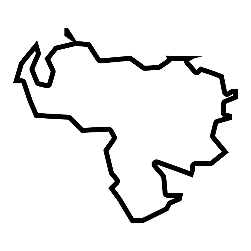
Venezuela map pdf
Venezuela map pdf
Venezuela map pdf
Venezuela map pdf
Venezuela map pdf
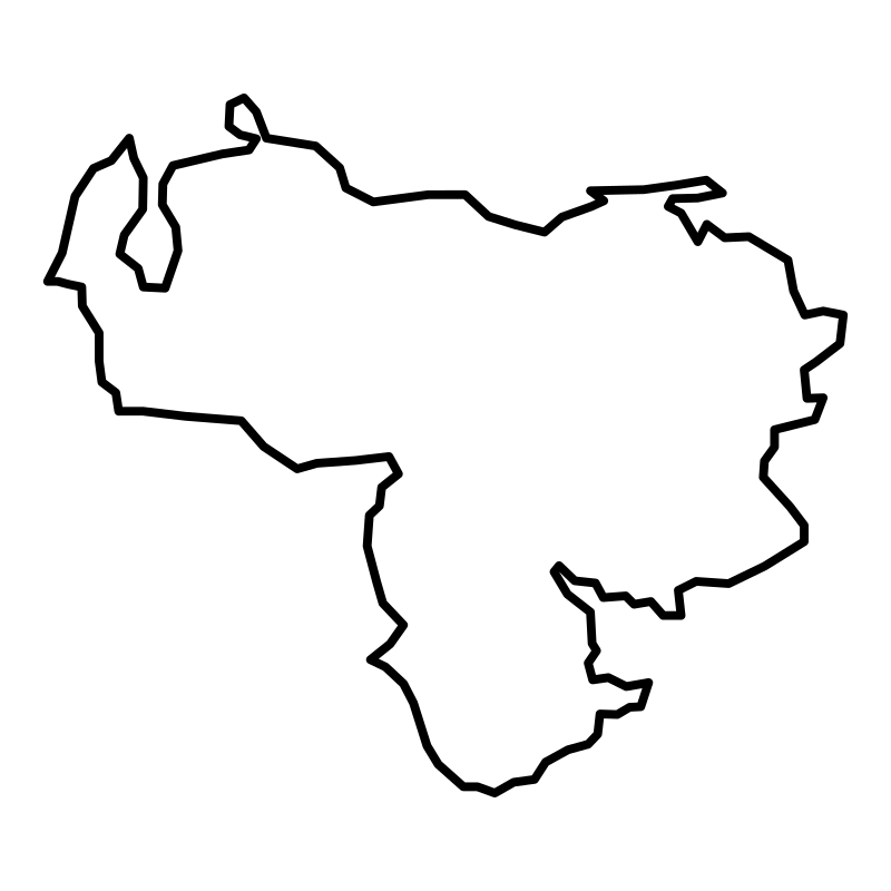
Venezuela map pdf
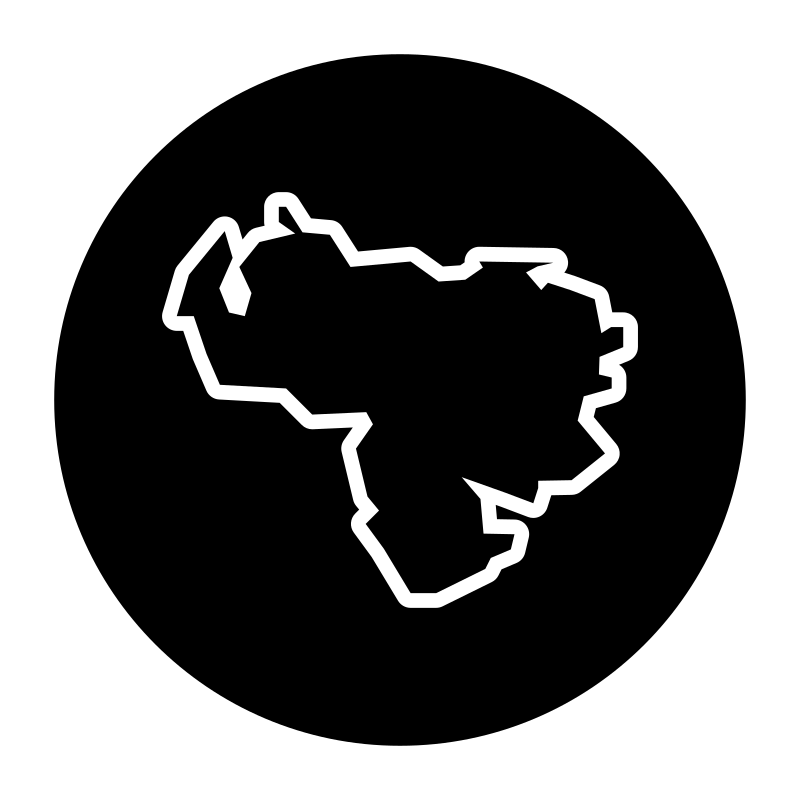
Venezuela map pdf
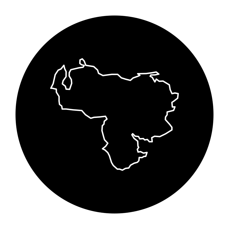
Venezuela map pdf
More Maps & Navigation Collections
Bolivia Maps30 icons
Maps Of Nigeria30 icons
Luxembourg Map Vector Collection30 icons
South Africa Map Vector Collection30 icons
Argentina Map Vector Collection30 icons
Map Of Lithuania A Geographical Atlas SVG Icons30 icons
Azerbaijan Map With Cities And30 icons
Map Of The Emirates SVG Icons30 icons
India Maps A Collection Of Maps Of30 icons

Sri Lanka Maps30 icons
Saudi Arabia Maps30 icons



Maps Of Kuwait30 icons
Artist:Rahe
License:CREATIVECOMMONS