
World History
Angola Provinces
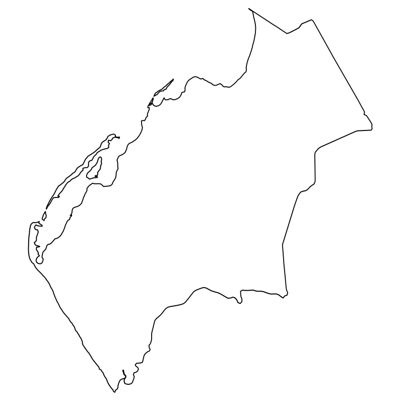
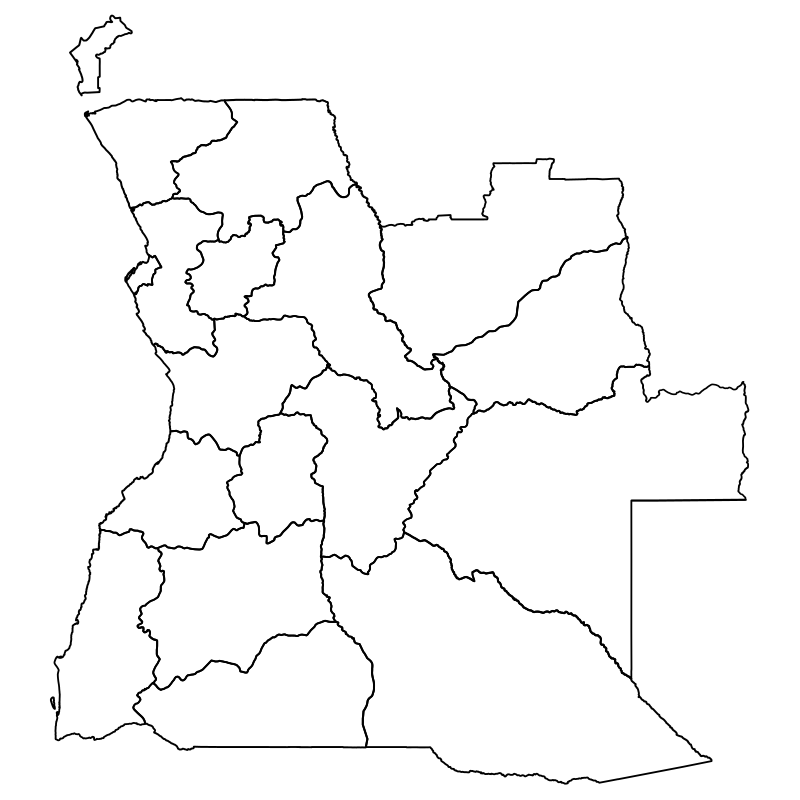
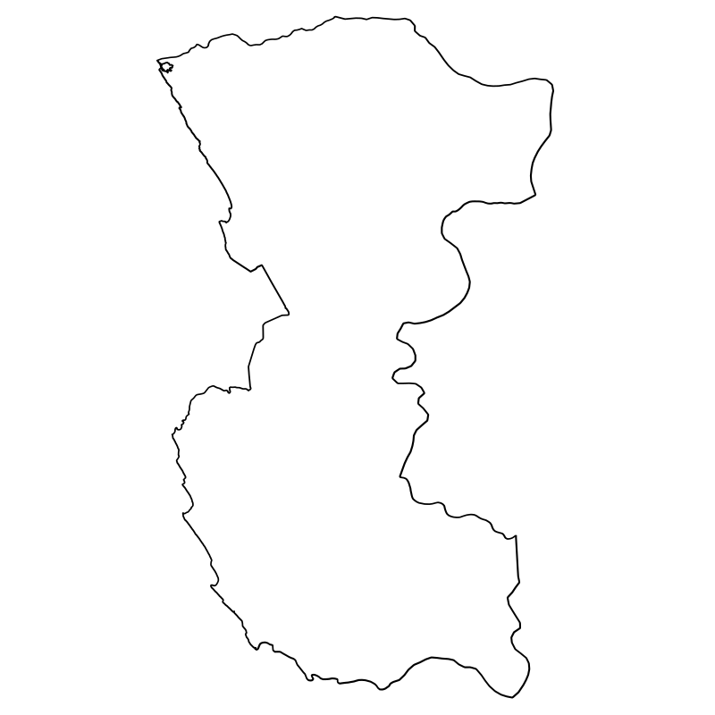
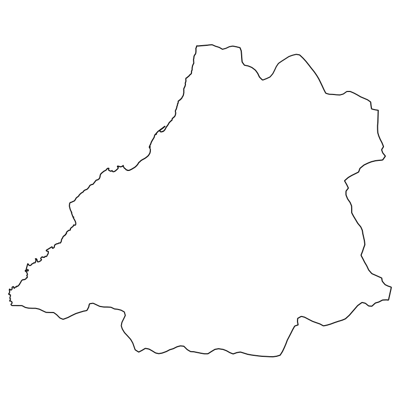
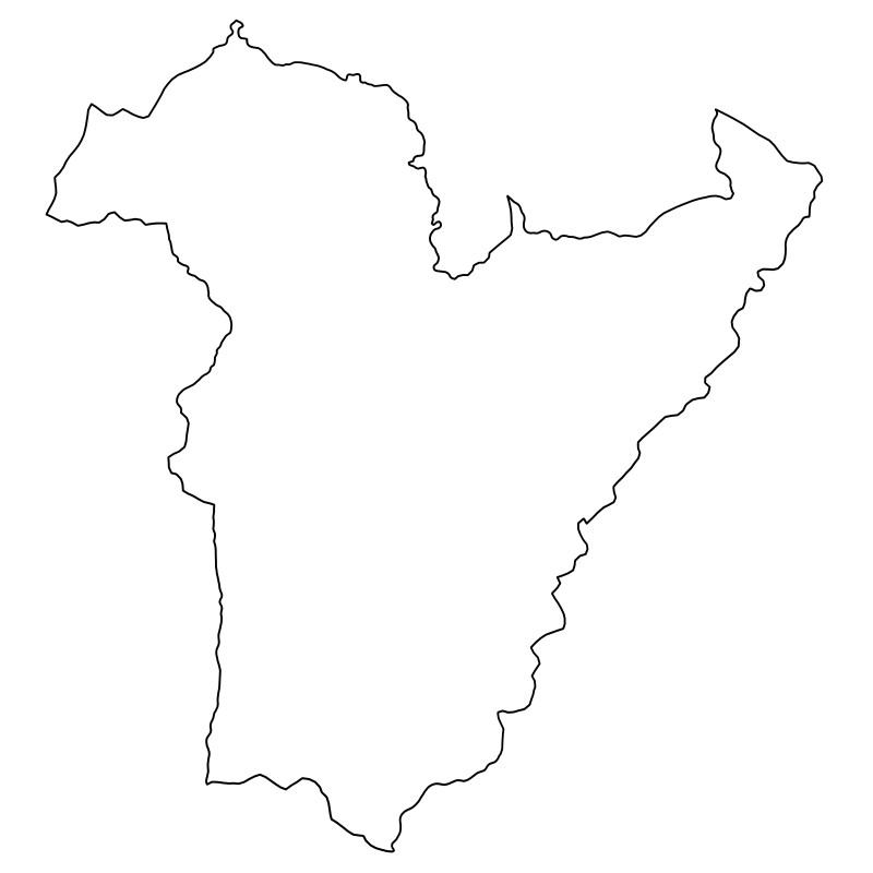
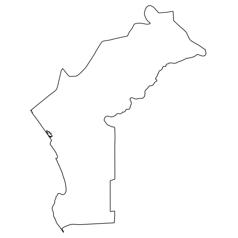
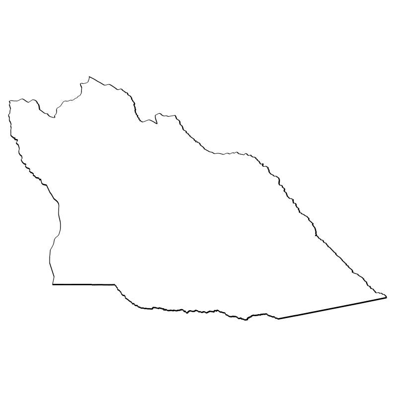
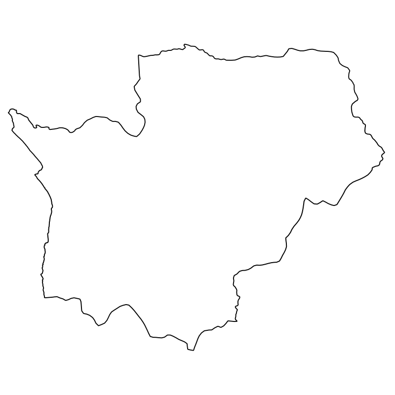
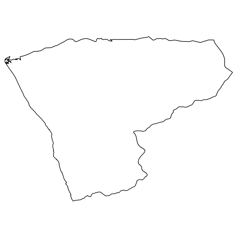
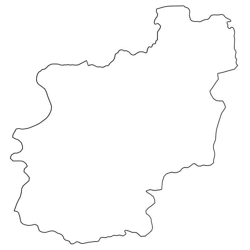
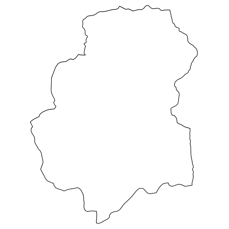
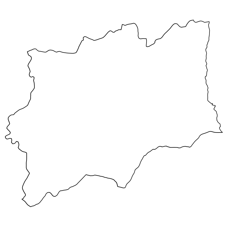
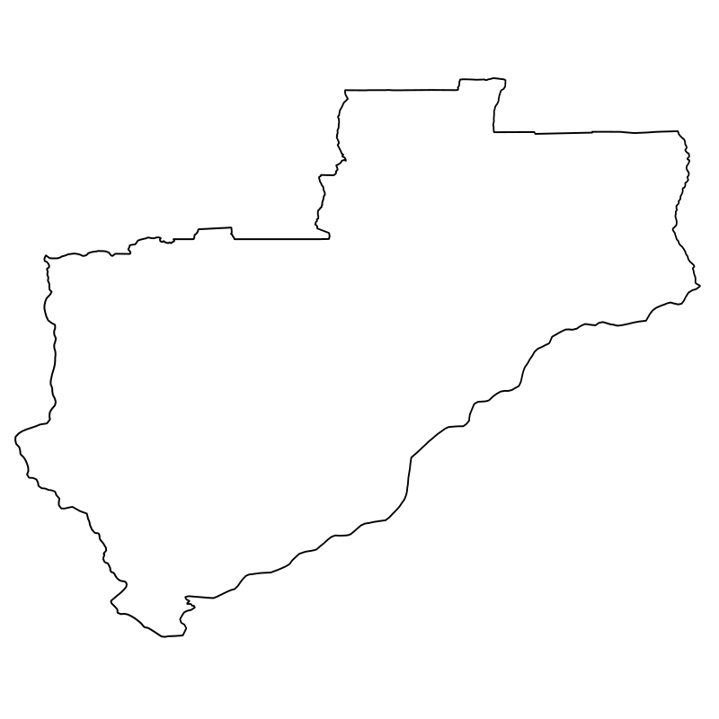
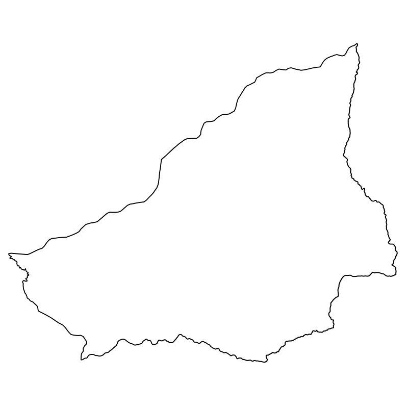
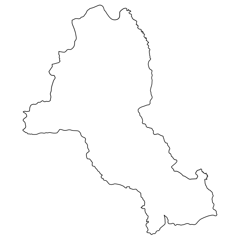
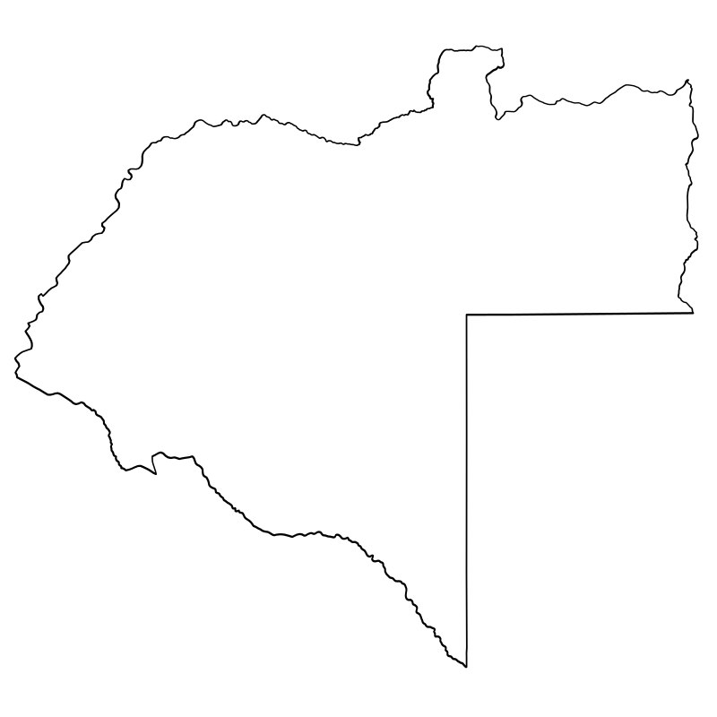
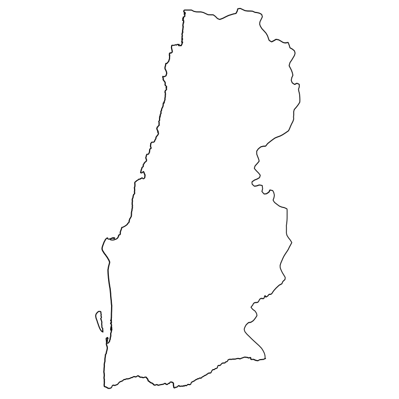
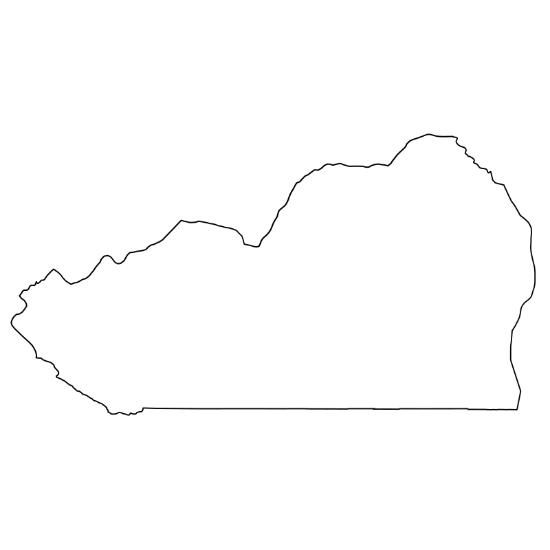
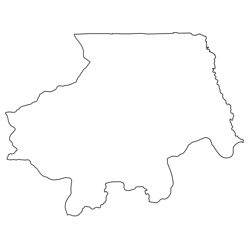
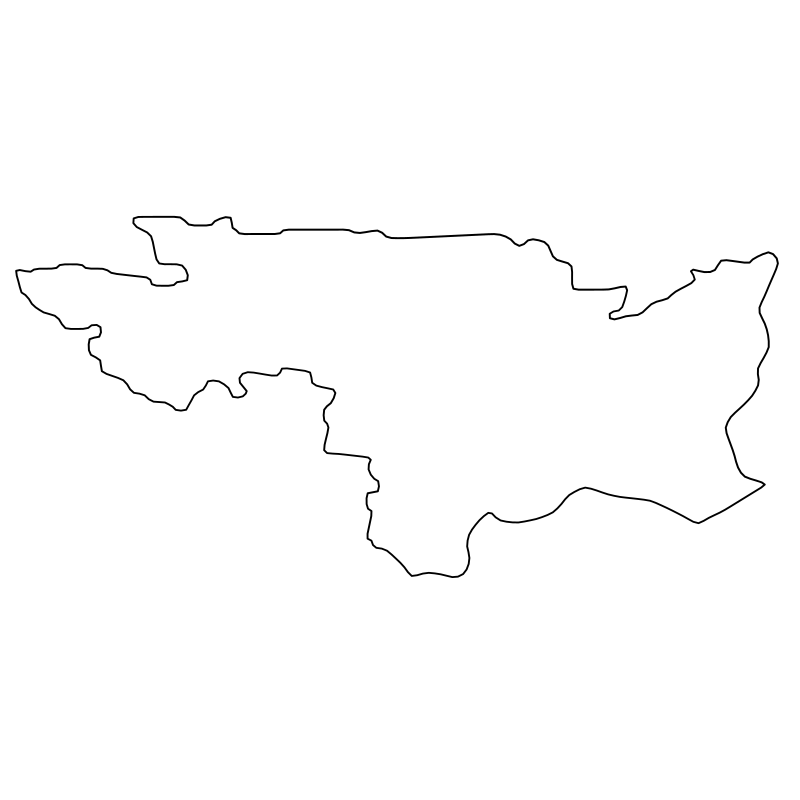
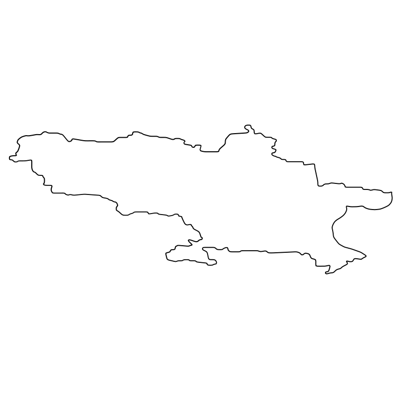
Nineteen detailed vector graphics illustrate the historical and geographical provinces of Angola for educational and regional mapping projects. This clean outline set of SVG icons features standardized regional boundaries, prominent landmarks, and administrative symbols designed for historical archives and geographical interfaces. Researchers, cartographers, and developers can integrate these geographical markers into digital history platforms, academic dashboards, and interactive territorial databases.
Icons in this Collection
Browse and download all 19 vector icons
More World History Collections
Aotearoa The Land Of19 icons
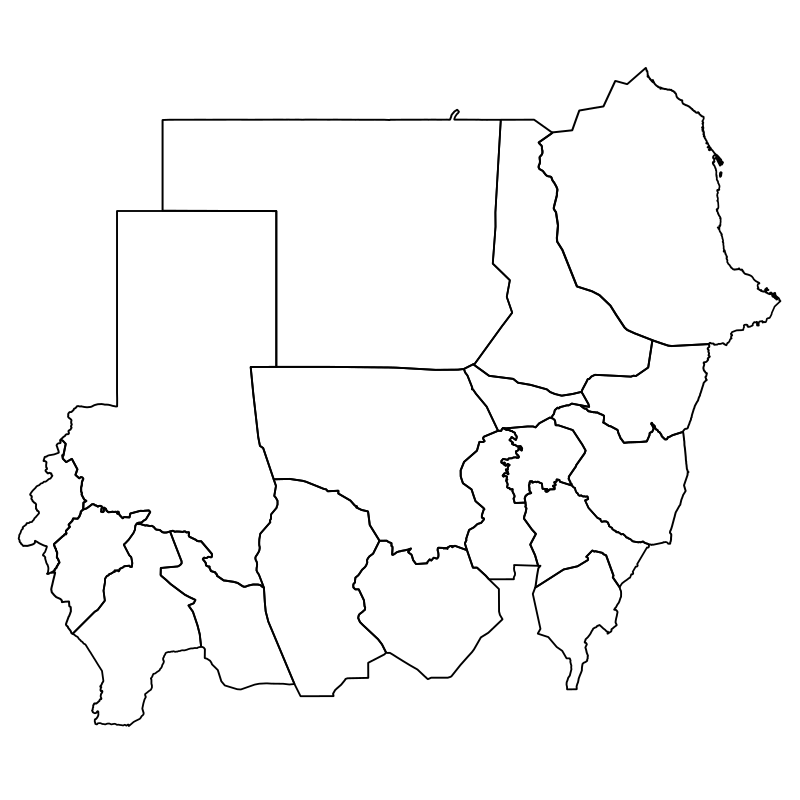
Sudan States Vector Collection18 icons

Geographic Maps Of The World17 icons
Germany Atlas17 icons

Poland Counties A Vector Collection Of17 icons

Uk Regions North, South, East,16 icons
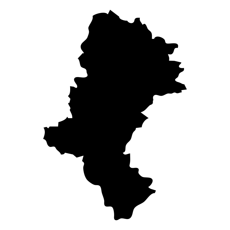


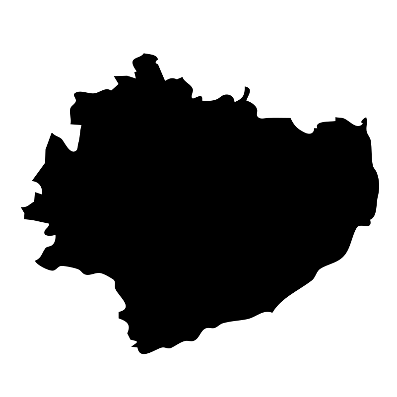
Gminas16 icons




Awesome Vector Graphics16 icons
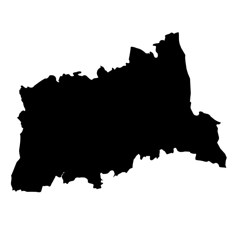
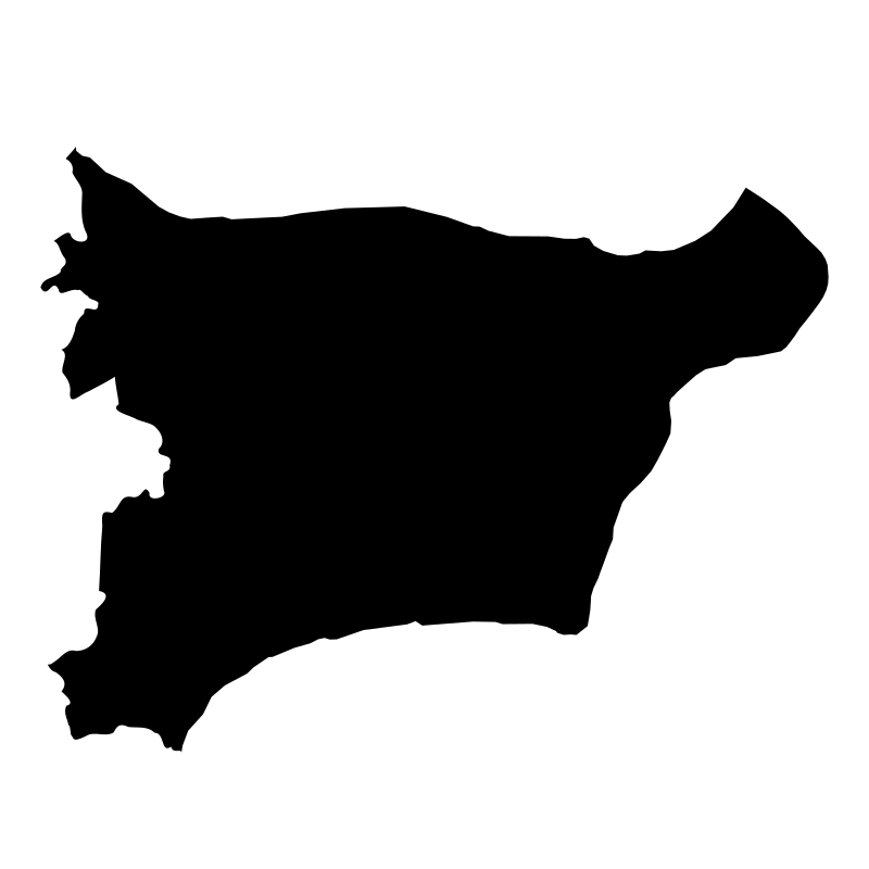
Counties Of Estonia15 icons
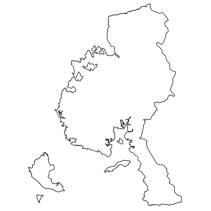
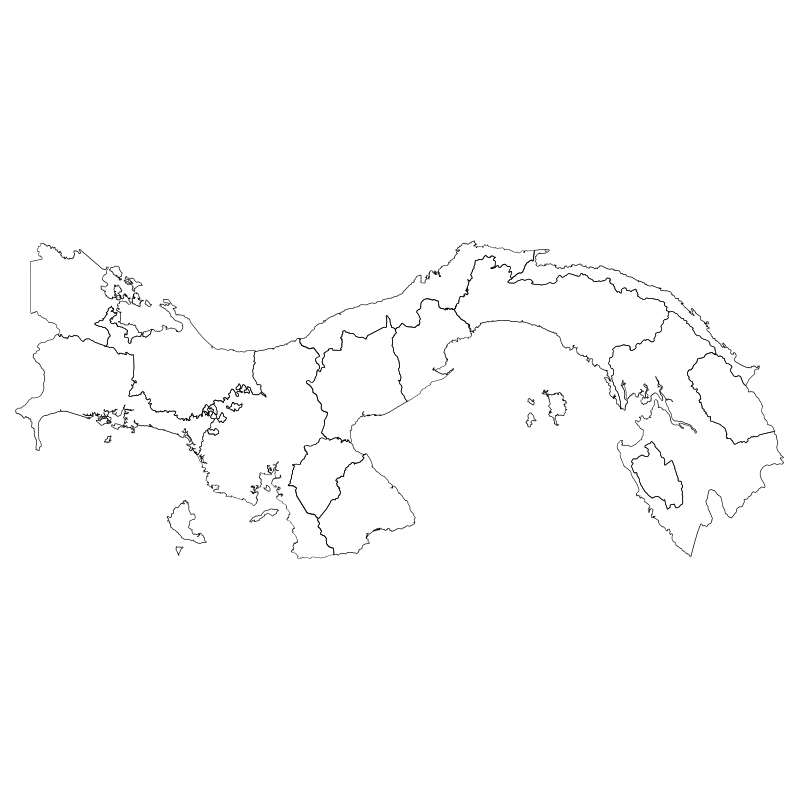
Central American Provinces14 icons
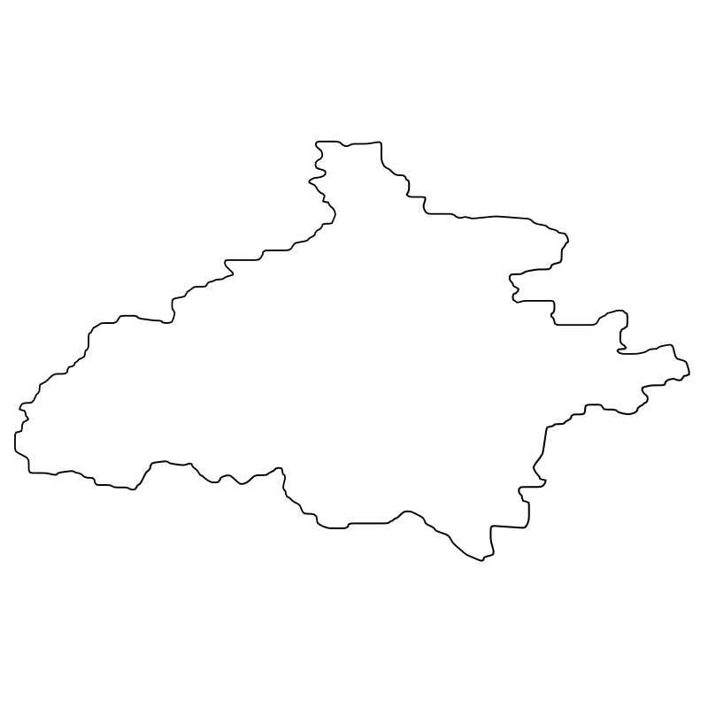
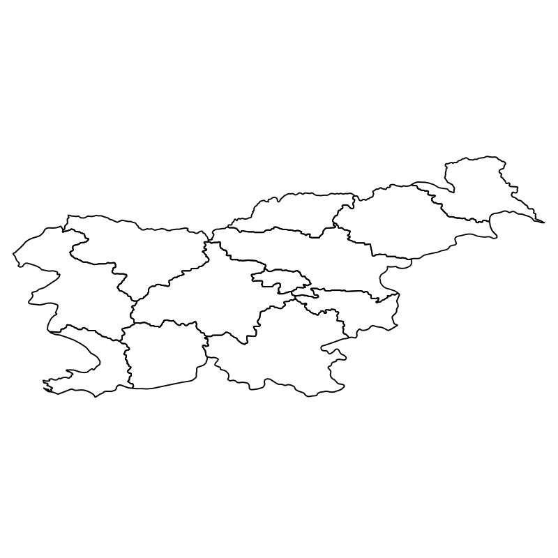
Slovenian Regions13 icons




London Landmarks The Architecture And History Of12 icons
Artist:clckw
License:CREATIVECOMMONS