
Maps & Navigation
Belgium Map With Borders
Geographical and cartographic vector graphics focused on Belgium provide clear representations of national boundaries and regional subdivisions. Designed in a clean, minimalist outline style, these scalable SVG icons maintain visual consistency across various screen sizes and layout formats. The set includes detailed maps of the country and its individual provinces, making them suitable for travel guides, regional dashboards, and European logistics applications. Professionals in education, transportation, and international business frequently use these graphics to illustrate spatial data in web design and software interfaces.
Icons in this Collection
Browse and download all 24 vector icons
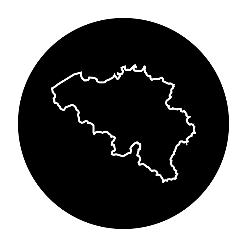
Belgian Map
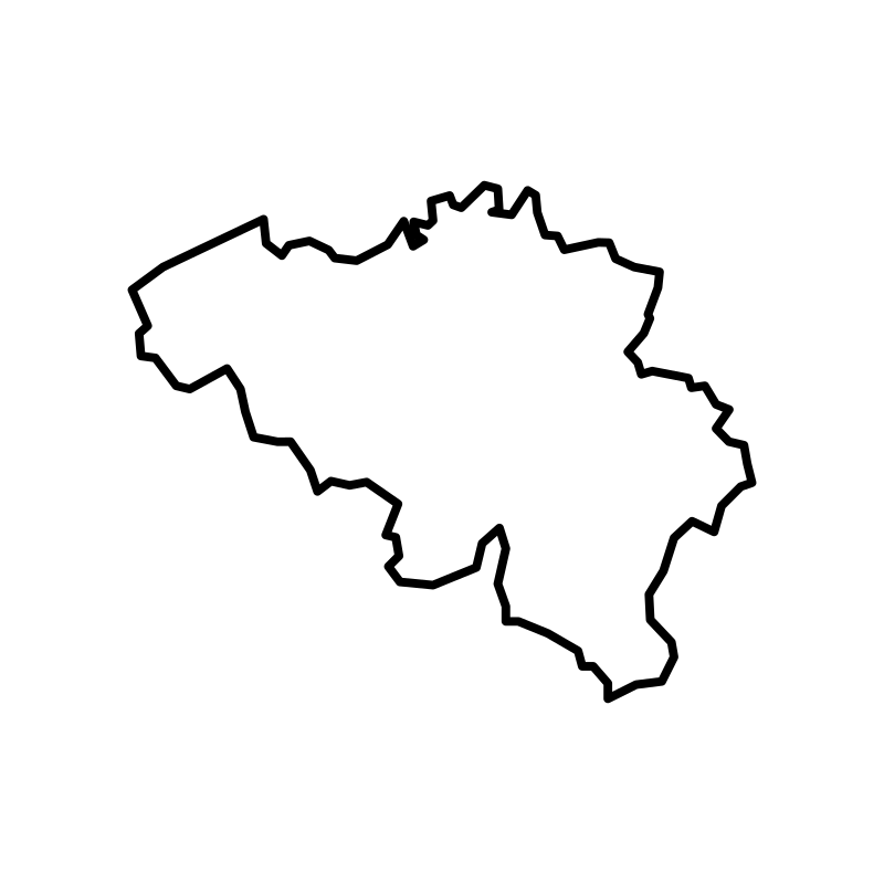
Belgian Map
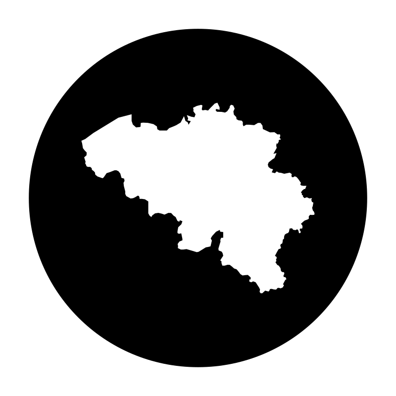
Belgian Map
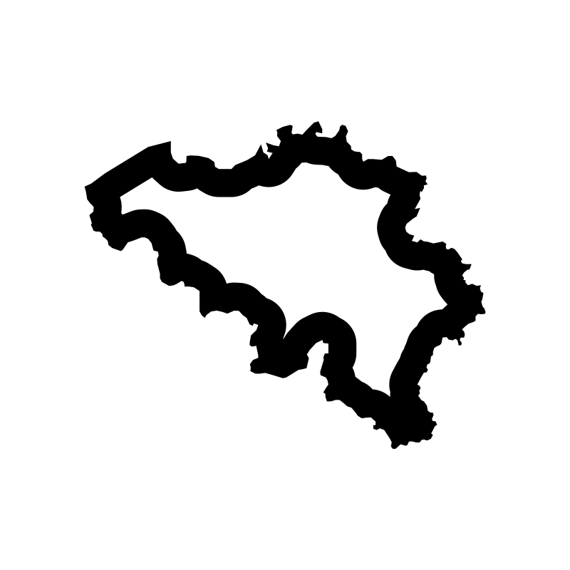
belgium map
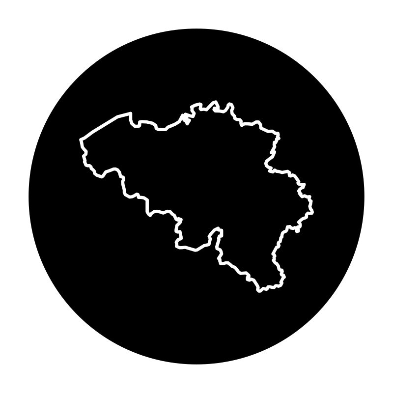
belgium map
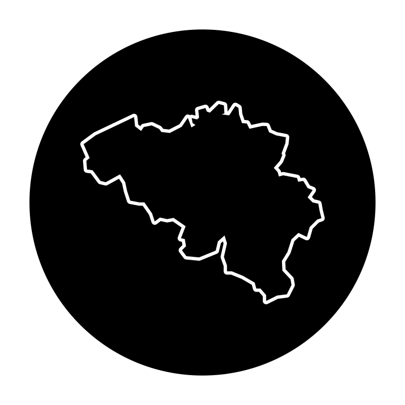
belgium map
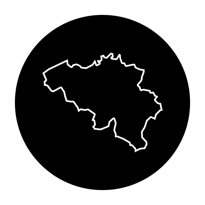
Belgium map
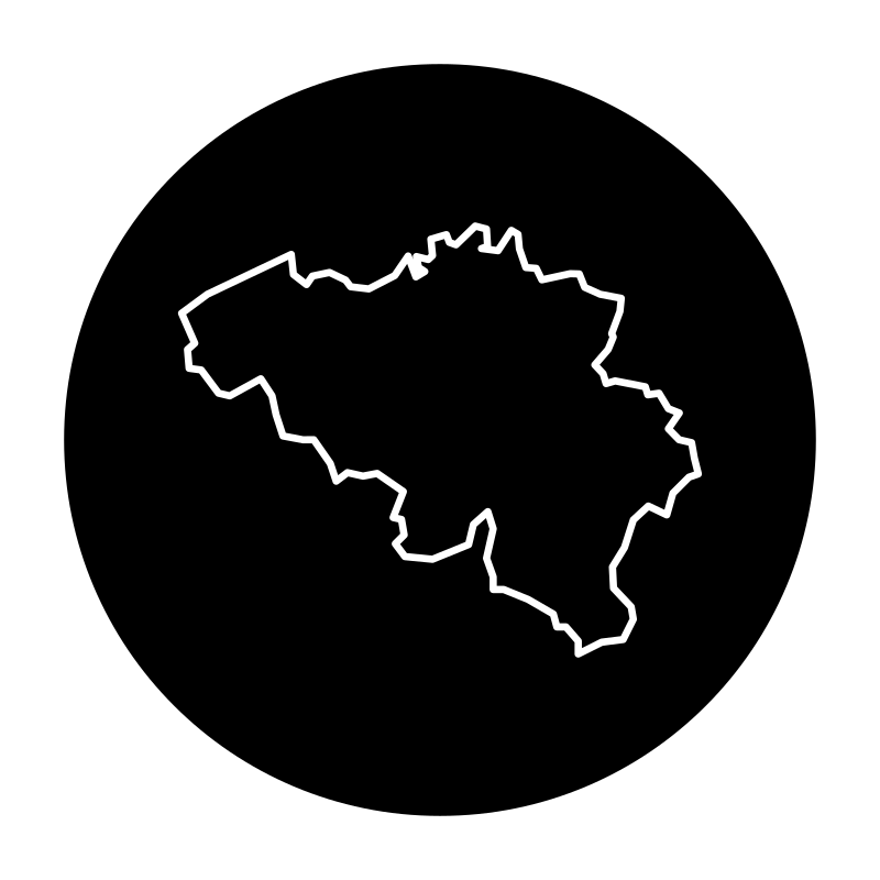
Belgium Map
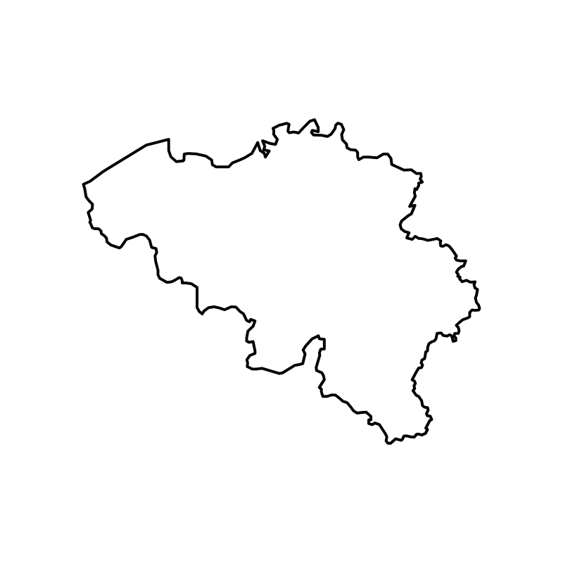
Belgium Map
Belgium Map
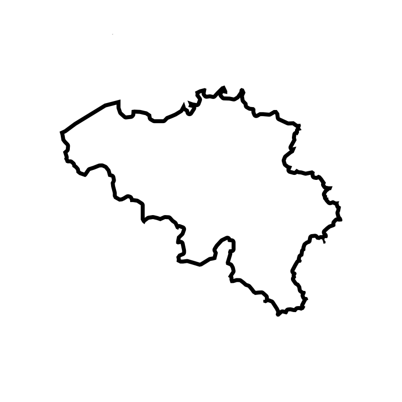
Belgium Maps
map of belgium2
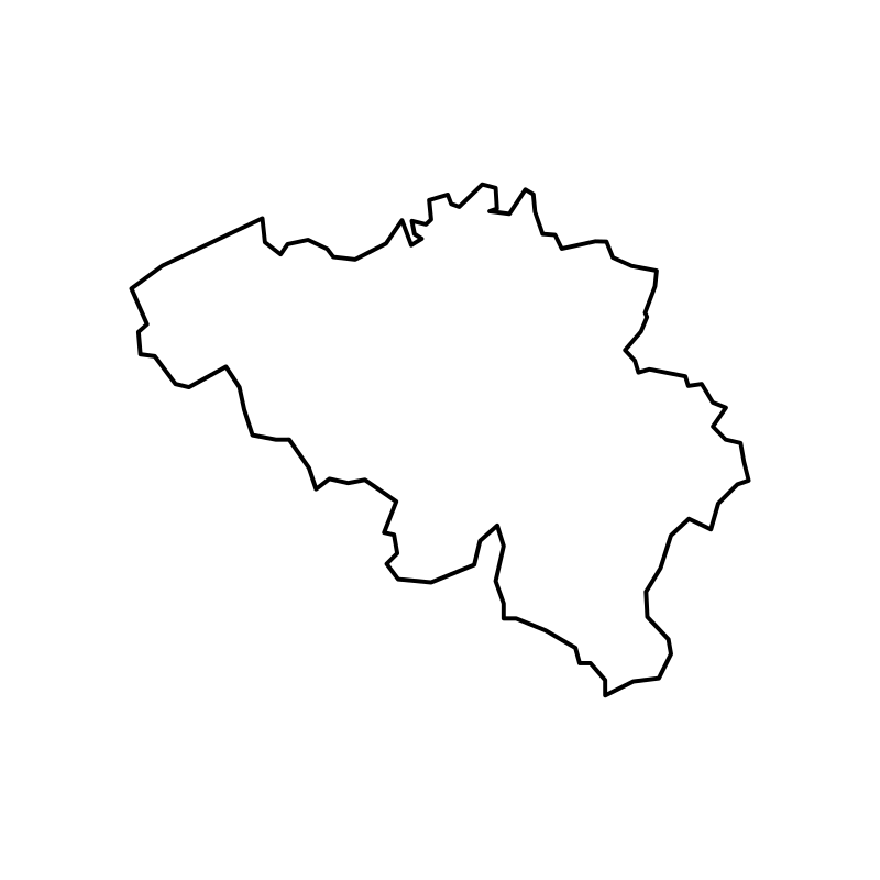
Map Of Belgium 2015
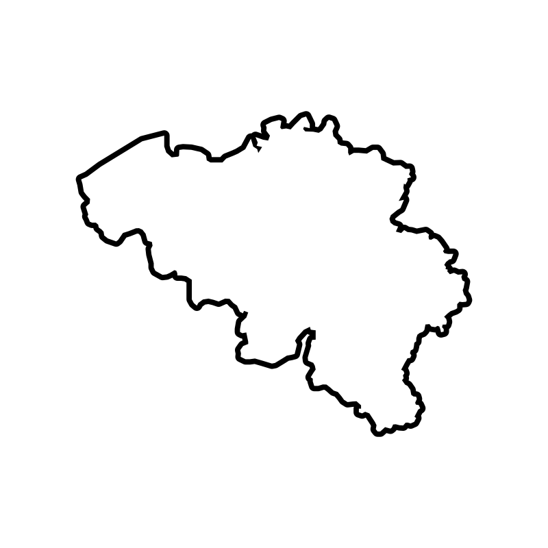
Map Of Belgium 2015
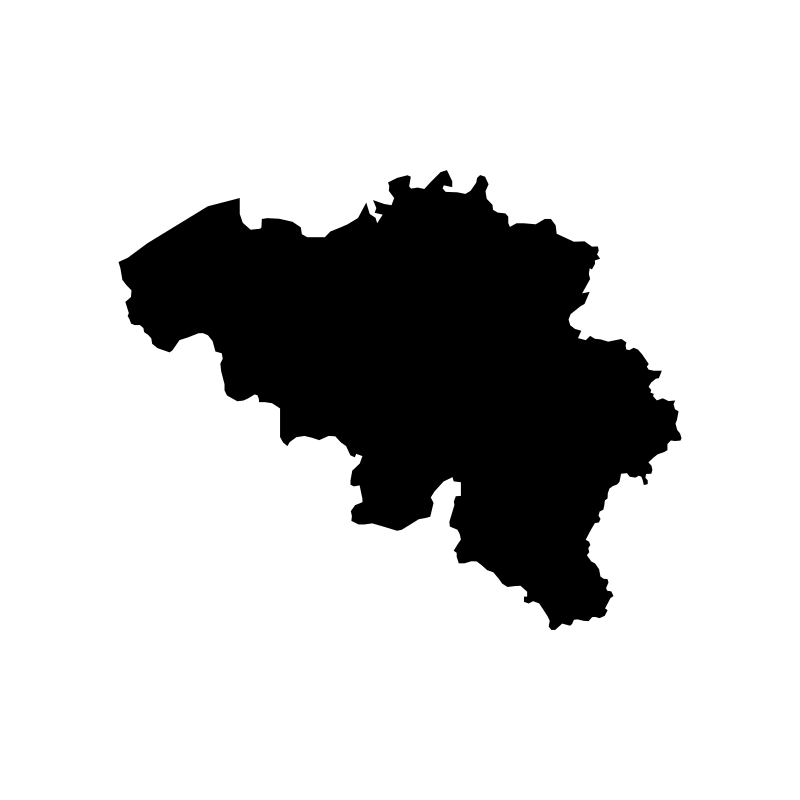
Map Of Belgium 2016
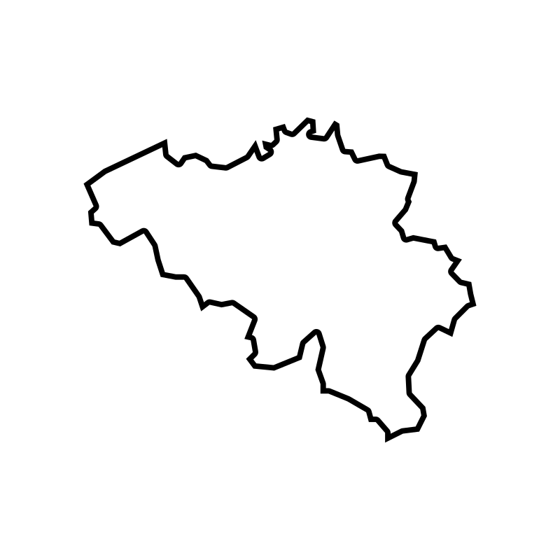
map of belgium city
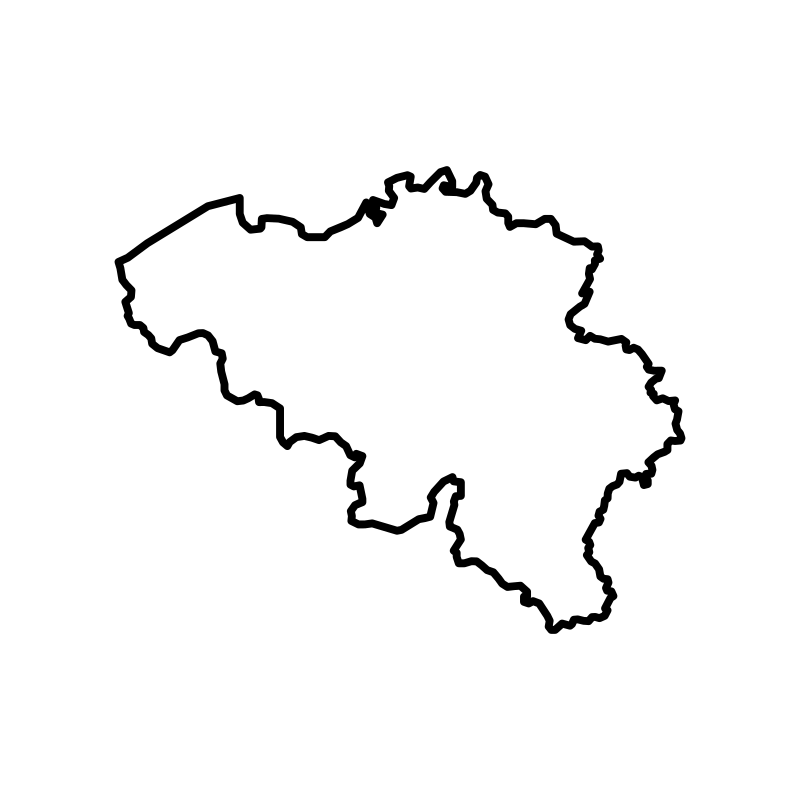
Map Of Belgium Europe
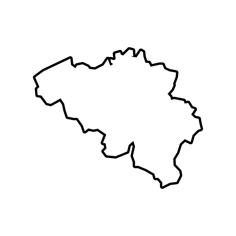
map of belgium pdf
map of belgium province
Map Of Belgium Province
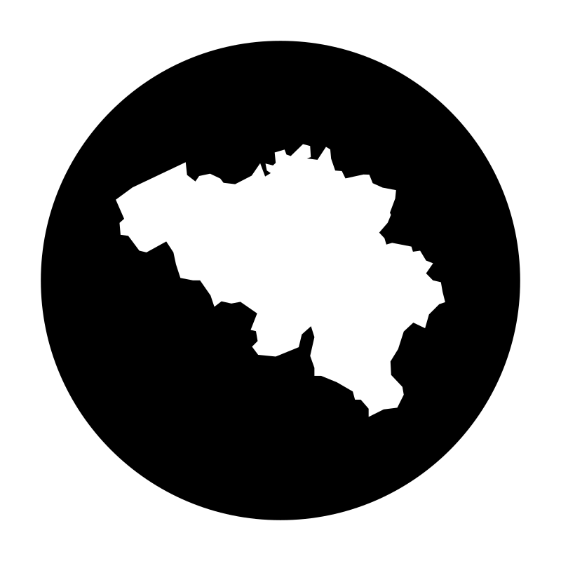
map of belgium provinces
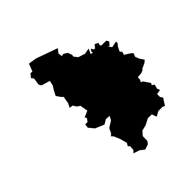
map of belgium provinces
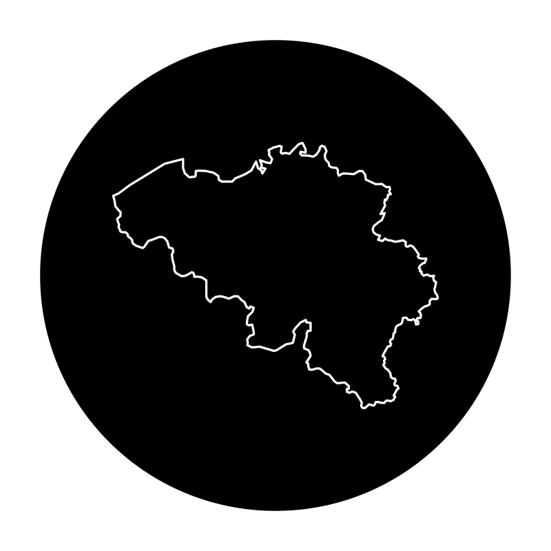
Map Of Belgium Provinces
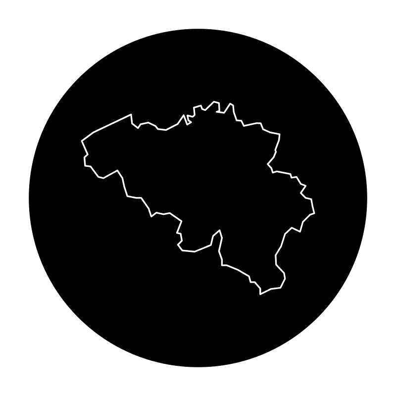
map of belguim
More Maps & Navigation Collections
Map Of Colombia Vectors24 icons
Navigation And Maps Lines23 icons



Line Map SVG Icons22 icons
Mapa The Worlds Largest Map22 icons


Maps And Navigation Icons Set22 icons
Taiwan Atlas22 icons


Maps Of Locations21 icons


Adventure Thin21 icons



Graphic Design For The Travel And Tourism Industry21 icons



Orienteering With Maps20 icons

Maps Of Spain A Collection Of Vector Maps20 icons




Map Place Location Geography20 icons
Artist:Rahe
License:CREATIVECOMMONS