
Maps & Navigation
State Maps With Cities And Towns Icons for Web & UI Design
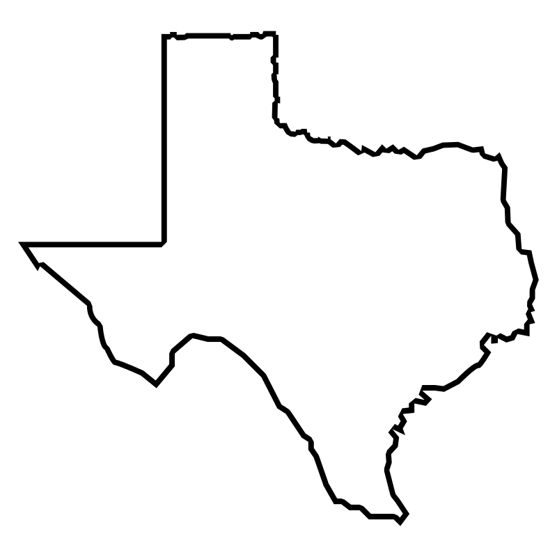
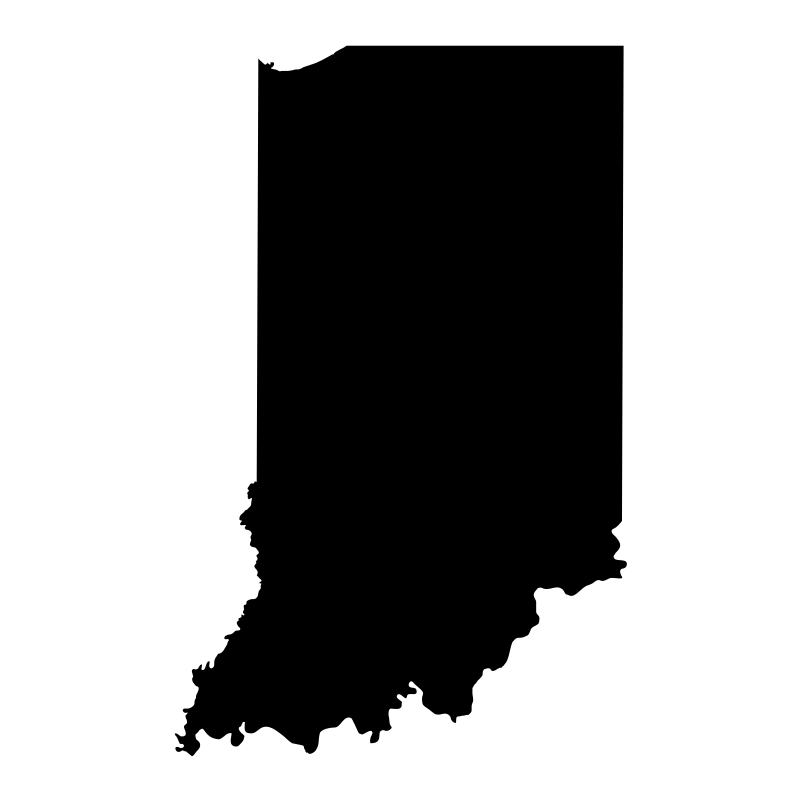
Geographical vector graphics provide clear visual context for regional mapping and local navigation projects. This set features thirty-one clean outline illustrations depicting prominent state borders, regional boundaries, and major urban centers. Designers frequently integrate these geographic SVG icons into travel portals, regional dashboards, and location-based mobile applications. The straightforward aesthetic suits logistics platforms, tourism guides, and educational interfaces focused on regional data presentation.
Icons in this Collection
Browse and download all 31 vector icons

More Maps & Navigation Collections




Neighborhood Packs31 icons


Navigation Glyphs30 icons




Location Markers Geolocation30 icons




Angular Map Alternatives30 icons


Outline Maps For Information30 icons




Locations And Places Geography30 icons



Wire Maps30 icons




Map Glyph30 icons



Map Glyph Collection 230 icons




Map Locator Geospatial Maps30 icons

Dotted Countries Maps With Capitals30 icons


Macedonia Maps30 icons
Artist:Amy Myoung
License:CREATIVECOMMONS