
Maps & Navigation
New York Maps A Collection Of Vector Maps
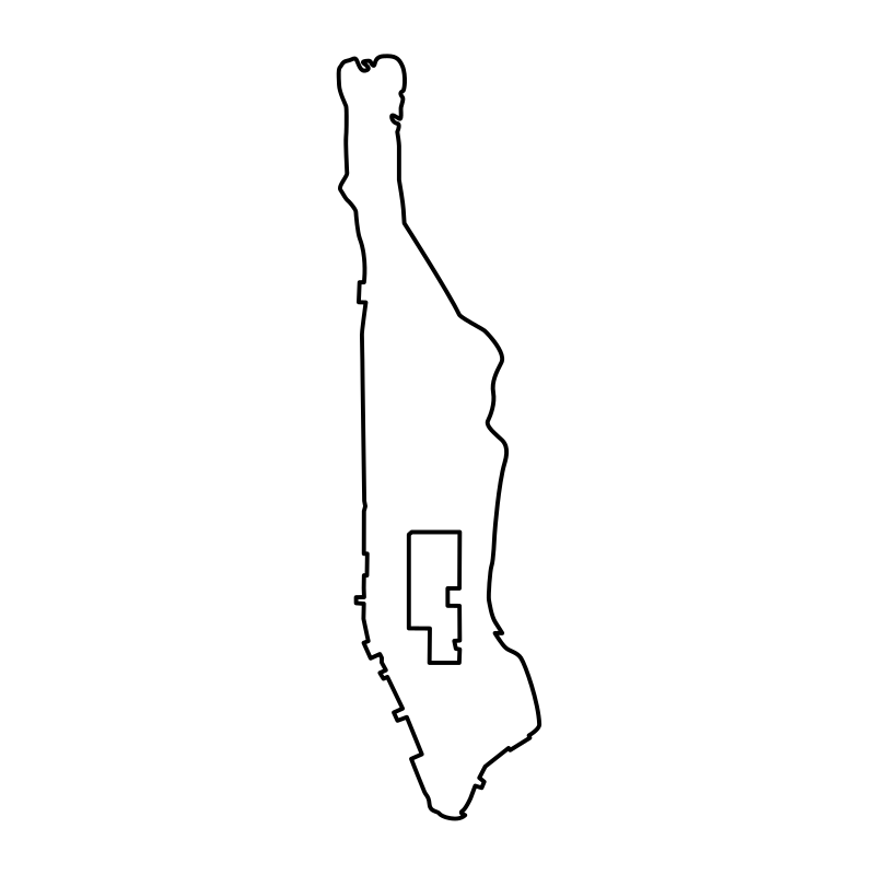
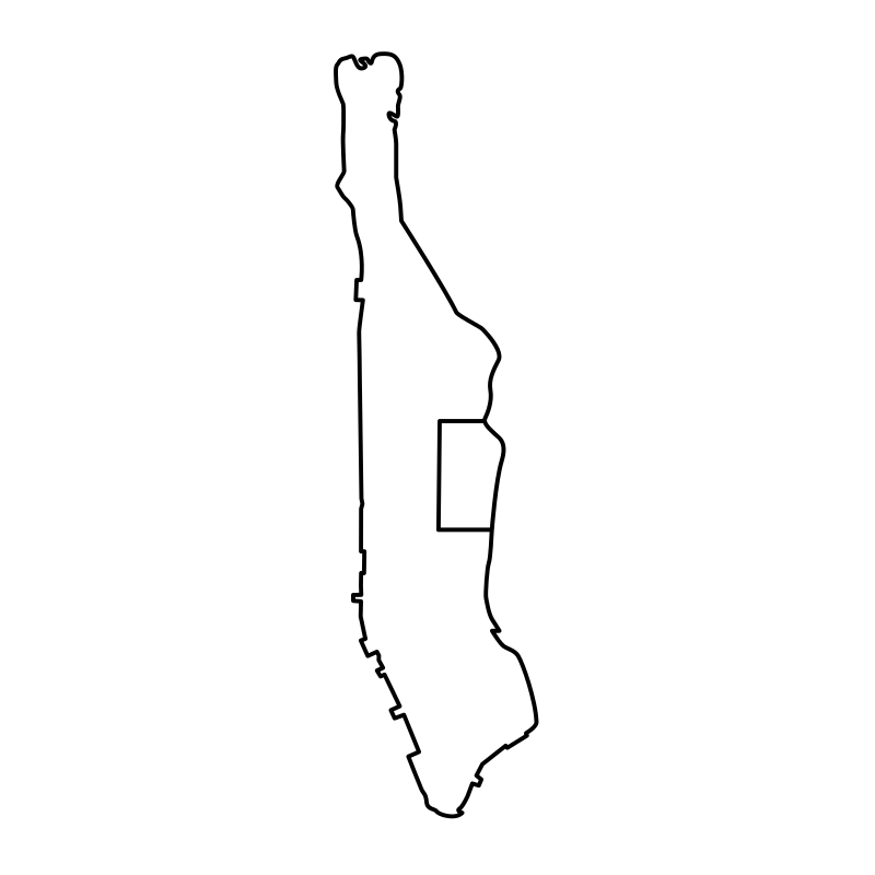
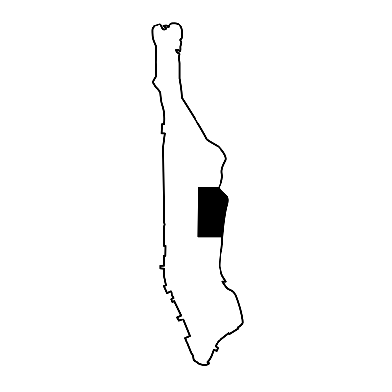
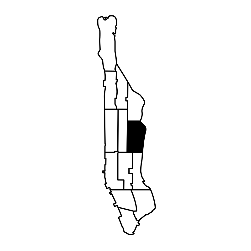
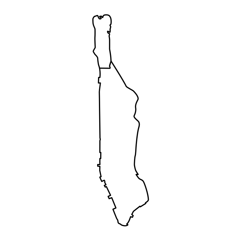
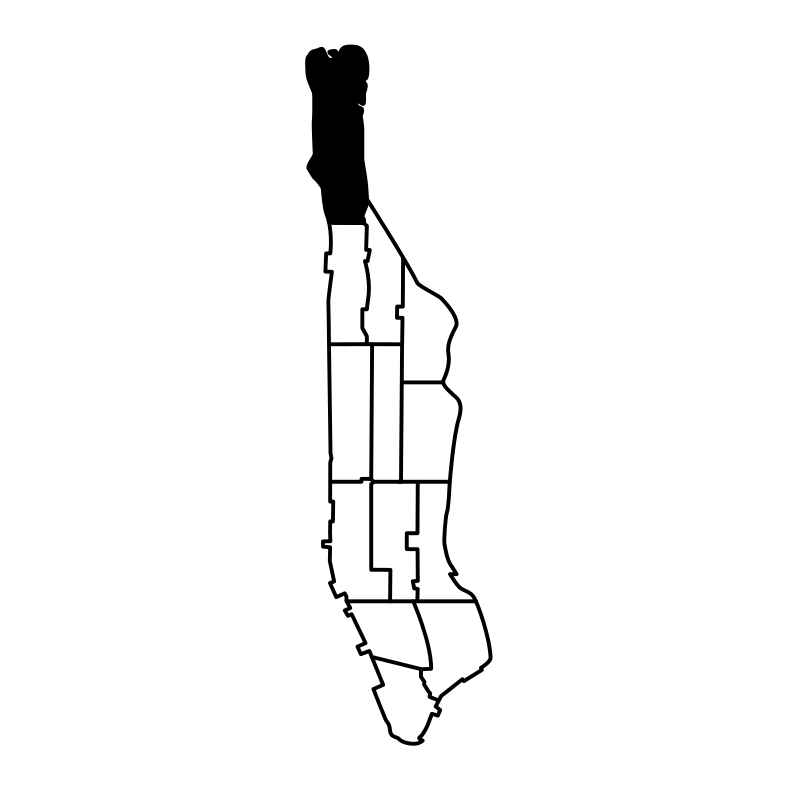
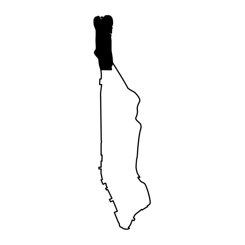
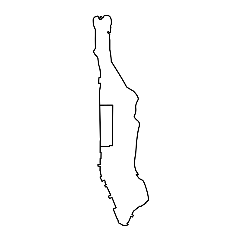
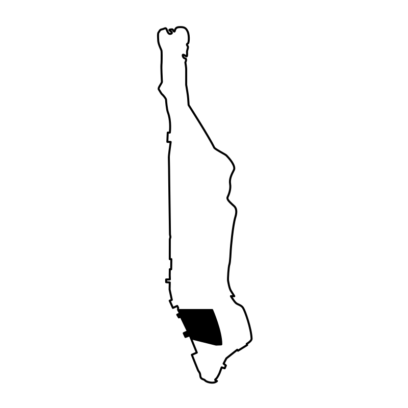
Joel Wisneski presents a detailed set of SVG icons depicting the distinct neighborhoods, landmarks, and boroughs of New York City, ranging from Harlem and Midtown to the Financial District. Rendered in a clean, minimalist outline style, these vector maps capture key geographic layouts and urban skylines. The collection serves travel agencies, local businesses, and urban planning projects needing clear navigational graphics for websites, digital guides, and interactive mobile applications.
Icons in this Collection
Browse and download all 41 vector icons
More Maps & Navigation Collections




Geographic Maps And Navigation40 icons




Maps And Navigation Point And Markers40 icons




European Country Maps38 icons




Cartographic Interface Pack37 icons




Vector Collection Urban Infrastructure36 icons


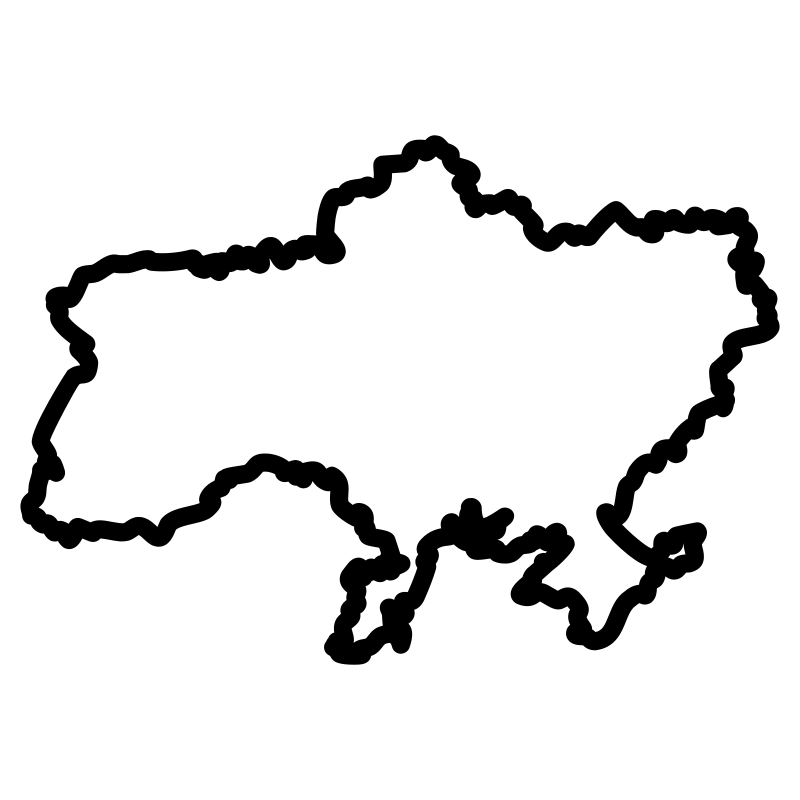

European Countries Maps Thin Collection35 icons




Global Positioning System35 icons




Map Pins35 icons
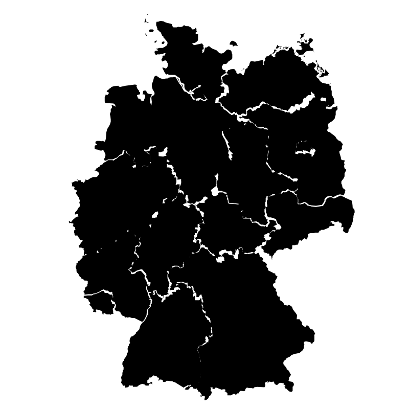
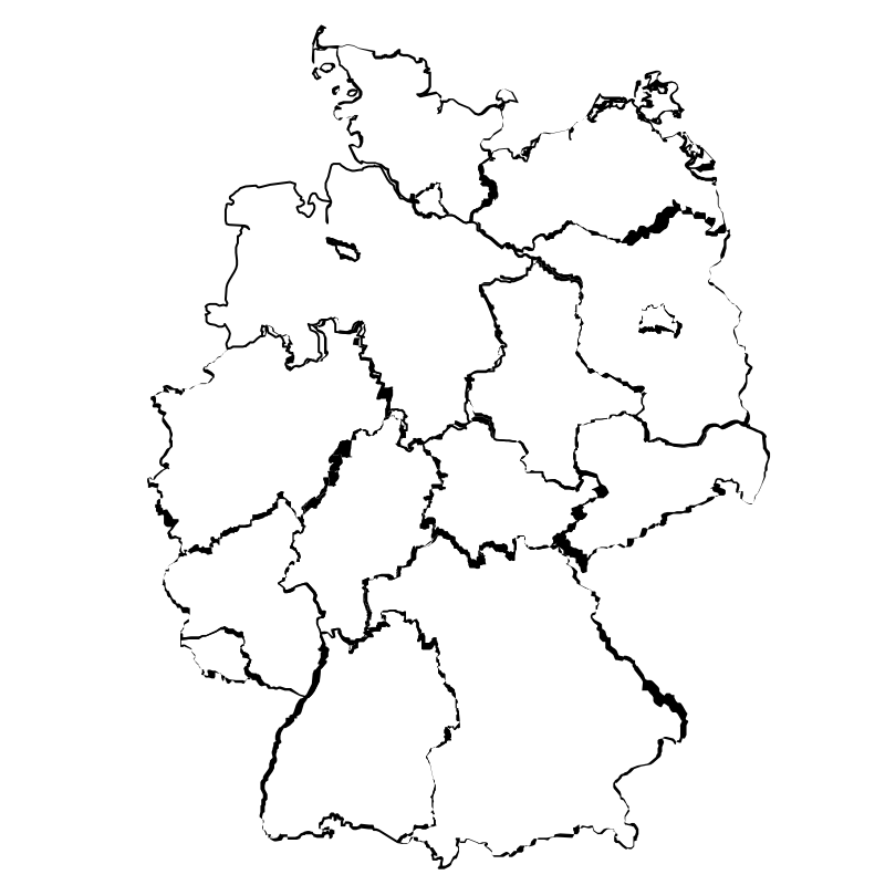

Maps Of Germany34 icons




Global Pin And Map Collection34 icons



Stoke Icons33 icons




Adventure Maps33 icons
Artist:Joel Wisneski
License:CREATIVECOMMONS